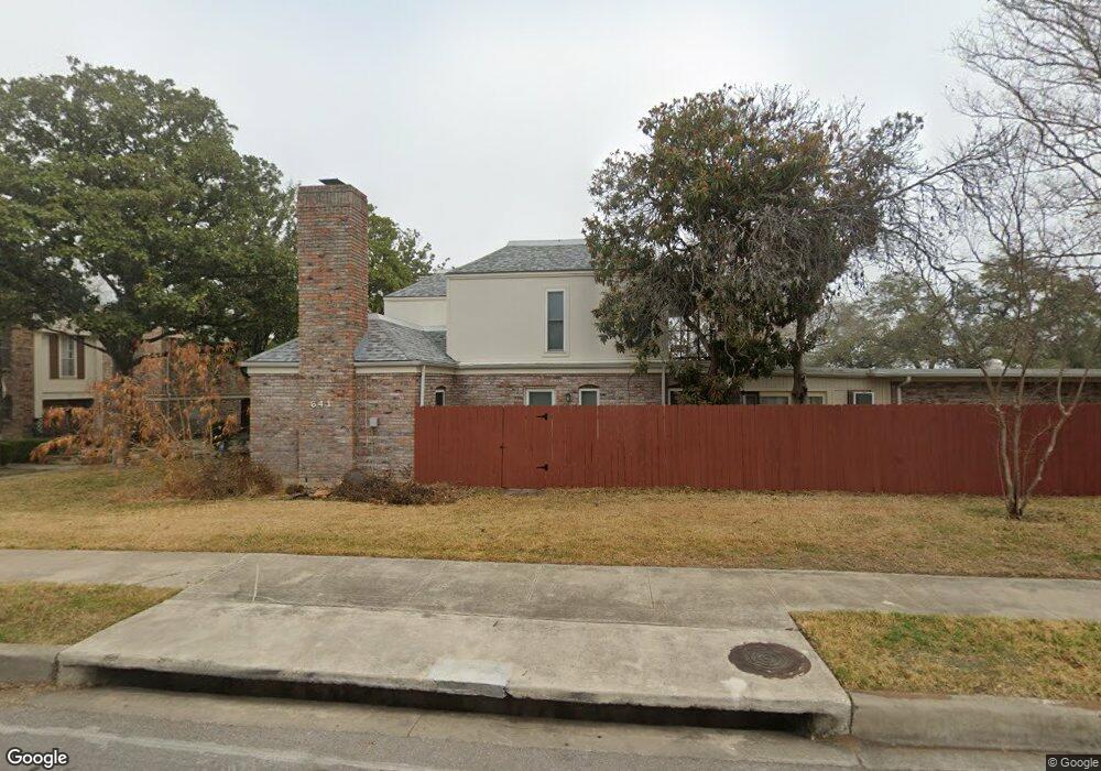
647 Strings Dr Unit 42 San Antonio, TX 78216
Greater Harmony Hills NeighborhoodEstimated Value: $168,196 - $229,000
2
Beds
2
Baths
1,362
Sq Ft
$144/Sq Ft
Est. Value
About This Home
This home is located at 647 Strings Dr Unit 42, San Antonio, TX 78216 and is currently estimated at $195,799, approximately $143 per square foot. 647 Strings Dr Unit 42 is a home located in Bexar County with nearby schools including Harmony Hills Elementary School, Eisenhower Middle School, and Churchill High School.
Ownership History
Date
Name
Owned For
Owner Type
Purchase Details
Closed on
Jul 28, 2015
Sold by
Bruni Properties Inc
Bought by
Green Avenue Llc
Current Estimated Value
Purchase Details
Closed on
Jun 4, 2012
Sold by
Federal Home Loan Mortgage Corporation
Bought by
Bruni Properties Inc
Purchase Details
Closed on
Apr 3, 2000
Sold by
Olmstead Reita E
Bought by
Mcginnis Walter E and Little Constance M
Home Financials for this Owner
Home Financials are based on the most recent Mortgage that was taken out on this home.
Original Mortgage
$56,100
Interest Rate
8.27%
Purchase Details
Closed on
Aug 10, 1998
Sold by
Frey Jessica K and Frey Elwyn A
Bought by
Olmstead Reita E
Home Financials for this Owner
Home Financials are based on the most recent Mortgage that was taken out on this home.
Original Mortgage
$65,250
Interest Rate
6.95%
Create a Home Valuation Report for This Property
The Home Valuation Report is an in-depth analysis detailing your home's value as well as a comparison with similar homes in the area
Home Values in the Area
Average Home Value in this Area
Purchase History
| Date | Buyer | Sale Price | Title Company |
|---|---|---|---|
| Green Avenue Llc | -- | Fatco Sa | |
| Bruni Properties Inc | -- | Fatco | |
| Mcginnis Walter E | -- | -- | |
| Federal Home Loan Mortgage Corp | $70,368 | None Available | |
| Olmstead Reita E | -- | -- |
Source: Public Records
Mortgage History
| Date | Status | Borrower | Loan Amount |
|---|---|---|---|
| Previous Owner | Mcginnis Walter E | $56,100 | |
| Previous Owner | Olmstead Reita E | $65,250 |
Source: Public Records
Tax History Compared to Growth
Tax History
| Year | Tax Paid | Tax Assessment Tax Assessment Total Assessment is a certain percentage of the fair market value that is determined by local assessors to be the total taxable value of land and additions on the property. | Land | Improvement |
|---|---|---|---|---|
| 2025 | $4,457 | $195,000 | $30,390 | $164,610 |
| 2024 | $4,457 | $195,000 | $30,390 | $164,610 |
| 2023 | $4,457 | $195,000 | $30,390 | $164,610 |
| 2022 | $4,585 | $185,810 | $15,930 | $169,880 |
| 2021 | $4,088 | $160,000 | $15,930 | $144,070 |
| 2020 | $4,063 | $150,000 | $15,930 | $134,070 |
| 2019 | $4,023 | $142,000 | $15,930 | $126,070 |
| 2018 | $3,524 | $132,000 | $15,930 | $116,070 |
| 2017 | $3,447 | $127,930 | $15,930 | $112,000 |
| 2016 | $3,110 | $115,400 | $15,930 | $99,470 |
| 2015 | -- | $113,600 | $15,930 | $97,670 |
| 2014 | -- | $100,430 | $0 | $0 |
Source: Public Records
Map
Nearby Homes
- 701 Strings Dr
- 701 Strings Dr Unit BLDG J
- 11826 Petal Dr Unit 73
- 625 Chauncey Dr Unit 66
- 11634 Temptation St
- 11627 Temptation St
- 11703 Sandman St
- 11619 Intrigue Dr
- 11627 Raindrop Dr
- 11615 Raindrop Dr
- 11839 Parliament St Unit 1911
- 11839 Parliament St Unit 1521
- 11839 Parliament St Unit 1611
- 11839 Parliament St Unit 2422
- 11839 Parliament St Unit 511
- 11839 Parliament St Unit 2423
- 11839 Parliament St Unit 2122
- 11839 Parliament St Unit 724
- 11839 Parliament St Unit 122
- 11839 Parliament St Unit 2211
- 647 Strings Dr
- 645 Strings Dr
- 645 Strings Dr Unit 645
- 645 Strings Dr Unit 43
- 641 Strings Dr
- 643 Strings Dr
- 701 Strings Dr Unit 38
- 701 Strings Dr Unit BUILDING J
- 703 Strings Dr
- 705 Strings Dr
- 633 Strings Dr
- 707 Strings Dr
- 639 Strings Dr
- 637 Strings Dr
- 635 Strings Dr
- 635 Strings Dr Unit 47
- 11843 Petal Dr
- 11843 Petal Dr Unit 94
- 11843 Petal Dr Unit N\/A
- 11843 Petal Dr Unit H-33