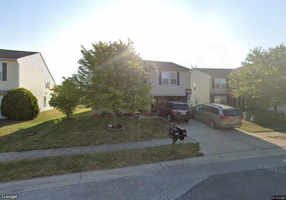
6471 Eastern Range Rd Indianapolis, IN 46234
Estimated Value: $315,000 - $329,000
About This Home
This home is located at 6471 Eastern Range Rd, Indianapolis, IN 46234 and is currently estimated at $323,818, approximately $130 per square foot. 6471 Eastern Range Rd is a home located in Hendricks County with nearby schools including White Lick Elementary School, Brownsburg West Middle School, and Brownsburg High School.
Ownership History
We collect this data history from publicly available records. To have your information removed, we recommend requesting removal directly through your county’s website.
Purchase Details
Home Financials for this Owner
Home Financials are based on the most recent Mortgage that was taken out on this home.Purchase Details
Purchase Details
Home Values in the Area
Average Home Value in this Area
Purchase History
We collect this data history from publicly available records. To have your information removed, we recommend requesting removal directly through your county’s website.
| Date | Buyer | Sale Price | Title Company |
|---|---|---|---|
| -- | None Available | ||
| -- | None Available | ||
| $166,618 | None Available |
Mortgage History
We collect this data history from publicly available records. To have your information removed, we recommend requesting removal directly through your county’s website.
| Date | Status | Borrower | Loan Amount |
|---|---|---|---|
| Previous Owner | $132,822 |
Tax History
We collect this data history from publicly available records. To have your information removed, we recommend requesting removal directly through your county’s website.
| Year | Tax Paid | Tax Assessment Tax Assessment Total Assessment is a certain percentage of the fair market value that is determined by local assessors to be the total taxable value of land and additions on the property. | Land | Improvement |
|---|---|---|---|---|
| 2025 | $2,622 | $291,300 | $42,900 | $248,400 |
| 2024 | $2,884 | $288,400 | $42,900 | $245,500 |
| 2023 | $2,685 | $268,500 | $38,600 | $229,900 |
| 2022 | $2,536 | $253,600 | $35,800 | $217,800 |
| 2021 | $2,017 | $206,500 | $33,700 | $172,800 |
| 2020 | $1,770 | $186,000 | $33,700 | $152,300 |
| 2019 | $1,669 | $179,100 | $32,100 | $147,000 |
| 2018 | $1,562 | $169,300 | $32,100 | $137,200 |
| 2017 | $1,470 | $160,500 | $30,300 | $130,200 |
| 2016 | $1,410 | $156,300 | $30,300 | $126,000 |
| 2014 | $1,239 | $140,200 | $28,900 | $111,300 |
Map
- 10321 Haag Dr
- 10330 Split Rock Way
- 6612 School Branch Dr
- 10311 Gateway Dr
- 9802 Blue Ridge Way
- 6041 Bluecrest Dr
- 9979 Pine Grove Ct
- 5928 Magnificent Ln
- 10673 Medinah Dr Unit 1
- 10531 E County Road 600 N
- 10665 Brooks St
- 5836 Monticello Square Ln
- 10180 Eagle Eye Way
- 5560 Noble Dr
- 5825 Courtyard Crescent
- 5509 James Blair Dr
- 7056 Eagle Rd
- 7152 Eagle Rd
- 10765 Forest Lake Ct
- 9070 Woodacre Blvd S
- 6465 Eastern Range Rd
- 6481 Eastern Range Rd
- 6470 Eastern Range Rd
- 6493 Eastern Range Rd
- 6460 Eastern Range Rd
- 6459 Eastern Range Rd
- 6451 Eastern Range Rd
- 10173 Yosemite Ln
- 6450 Eastern Range Rd
- 6443 Eastern Range Rd
- 10214 Yosemite Ln
- 10155 Yosemite Ln
- 10273 Memorial Knoll Dr
- 10200 Yosemite Ln
- 6440 Eastern Range Rd
- 10228 Yosemite Ln
- 10277 Memorial Knoll Dr
- 10186 Yosemite Ln
- 10271 Memorial Knoll Dr
- 10242 Yosemite Ln
Ask me questions while you tour the home.