6472 Admiralty Way Freeland, WA 98249
Estimated Value: $878,000 - $1,446,000
2
Beds
3
Baths
3,172
Sq Ft
$367/Sq Ft
Est. Value
About This Home
This home is located at 6472 Admiralty Way, Freeland, WA 98249 and is currently estimated at $1,165,614, approximately $367 per square foot. 6472 Admiralty Way is a home located in Island County with nearby schools including South Whidbey Elementary School, South Whidbey Middle School, and South Whidbey High School.
Ownership History
Date
Name
Owned For
Owner Type
Purchase Details
Closed on
Mar 14, 2011
Sold by
Carlson Howard L and Moss Janine C
Bought by
Carlson Howard Leonard and Moss Janine C
Current Estimated Value
Purchase Details
Closed on
Dec 13, 2004
Sold by
Tavelli Terrence F
Bought by
Carlson Howard L and Moos Janine C
Home Financials for this Owner
Home Financials are based on the most recent Mortgage that was taken out on this home.
Original Mortgage
$326,400
Interest Rate
5.04%
Mortgage Type
Purchase Money Mortgage
Create a Home Valuation Report for This Property
The Home Valuation Report is an in-depth analysis detailing your home's value as well as a comparison with similar homes in the area
Home Values in the Area
Average Home Value in this Area
Purchase History
| Date | Buyer | Sale Price | Title Company |
|---|---|---|---|
| Carlson Howard Leonard | -- | None Available | |
| Carlson Howard L | $408,000 | -- |
Source: Public Records
Mortgage History
| Date | Status | Borrower | Loan Amount |
|---|---|---|---|
| Closed | Carlson Howard L | $326,400 |
Source: Public Records
Tax History Compared to Growth
Tax History
| Year | Tax Paid | Tax Assessment Tax Assessment Total Assessment is a certain percentage of the fair market value that is determined by local assessors to be the total taxable value of land and additions on the property. | Land | Improvement |
|---|---|---|---|---|
| 2024 | $5,732 | $874,182 | $500,000 | $374,182 |
| 2023 | $5,732 | $879,219 | $500,000 | $379,219 |
| 2022 | $5,199 | $847,965 | $500,000 | $347,965 |
| 2021 | $4,667 | $656,544 | $350,000 | $306,544 |
| 2020 | $3,998 | $599,862 | $300,000 | $299,862 |
| 2019 | $3,647 | $526,937 | $350,000 | $176,937 |
| 2018 | $3,945 | $477,643 | $300,000 | $177,643 |
| 2017 | $3,618 | $479,055 | $300,000 | $179,055 |
| 2016 | $3,756 | $481,878 | $300,000 | $181,878 |
| 2015 | -- | $484,704 | $300,000 | $184,704 |
| 2013 | -- | $481,392 | $300,151 | $181,241 |
Source: Public Records
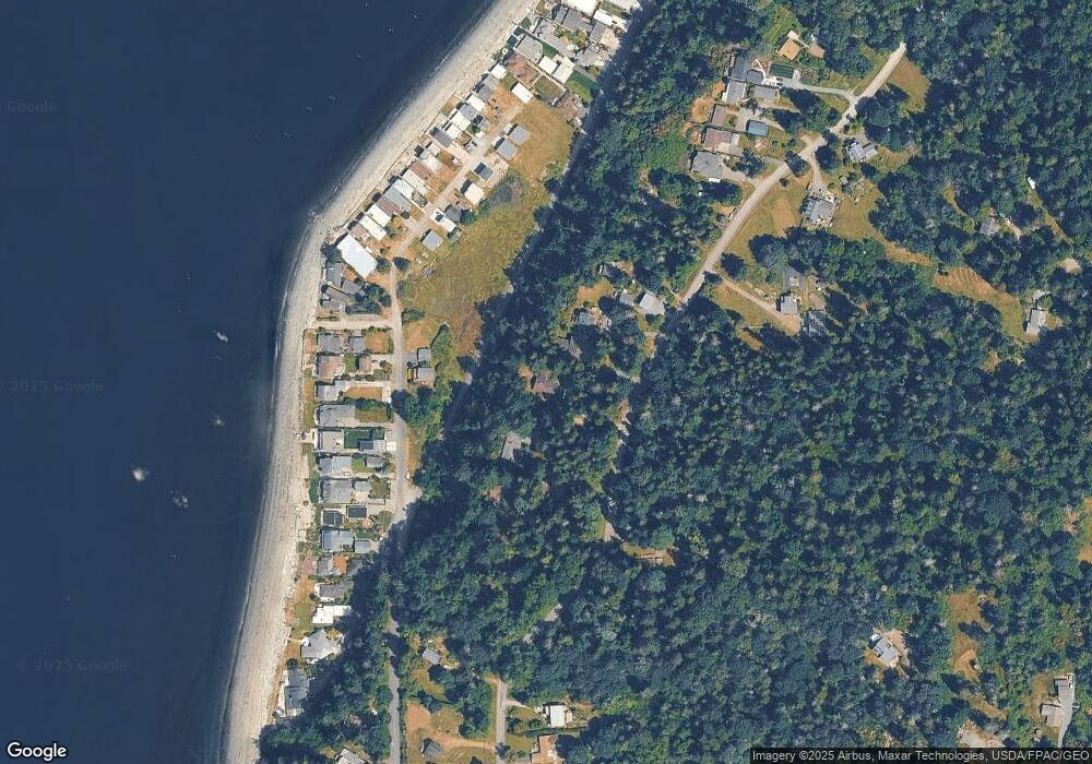
Map
Nearby Homes
- 6436 Ebb Tide Ln
- 6278 Barr Beach Rd
- 1547 Bismark Ln
- 1527 Roy Rd
- 57 S Mountain View Ln
- 5922 Mountain View Ln
- 5848 Mutiny Bay Rd
- 5844 Mutiny Bay Rd
- 5844 & 5848 Mutiny Bay Rd
- 5821 Fish Rd
- 1677 Lancaster Rd
- 1882 Shore Ave
- 0 S Serendipity Ln
- 1943 Shore Ave
- 0 Panorama Dr
- 2021 Shore Ave
- 5608 Tara Dr
- 5633 Morningtown Place
- 0 Xxx Mutiny Bay Rd Unit NWM2397162
- 971 Ridge Dr
- 6462 Admiralty Way
- 6480 Admiralty Way
- 6460 Admiralty Way
- 6488 Admiralty Way
- 6487 Ebb Tide Ln
- 6450 Admiralty Way
- 6453 Ebb Tide Ln
- 6444 Admiralty Way
- 6448 Ebb Tide Ln
- 6497 Admiralty Way
- 6445 Ebb Tide Ln
- 6488 Ebb Tide Ln
- 6496 Ebb Tide Ln
- 6492 Ebb Tide Ln
- 6433 Ebb Tide Ln
- 6500 Ebb Tide Ln
- 1180 Limpet Ln
- 6440 Admiralty Way
- 6480 Ebb Tide Ln
- 6508 Ebb Tide Ln