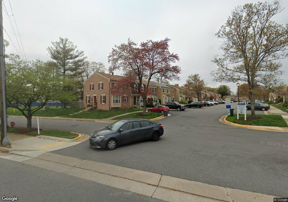
6472 Franconia Ct Springfield, VA 22150
Springtown NeighborhoodEstimated Value: $552,691 - $561,000
3
Beds
3
Baths
1,240
Sq Ft
$449/Sq Ft
Est. Value
About This Home
This home is located at 6472 Franconia Ct, Springfield, VA 22150 and is currently estimated at $556,173, approximately $448 per square foot. 6472 Franconia Ct is a home located in Fairfax County with nearby schools including Springfield Estates Elementary School, Key Middle, and Lewis High School.
Ownership History
Date
Name
Owned For
Owner Type
Purchase Details
Closed on
Jul 9, 2016
Sold by
Mangomo Benjamin and Mangomo Angele
Bought by
Mangomo Benjamin
Current Estimated Value
Purchase Details
Closed on
Jun 1, 1994
Sold by
Carmack Carolyn A
Bought by
Gomez Miguel A
Home Financials for this Owner
Home Financials are based on the most recent Mortgage that was taken out on this home.
Original Mortgage
$130,000
Interest Rate
8.49%
Create a Home Valuation Report for This Property
The Home Valuation Report is an in-depth analysis detailing your home's value as well as a comparison with similar homes in the area
Home Values in the Area
Average Home Value in this Area
Purchase History
| Date | Buyer | Sale Price | Title Company |
|---|---|---|---|
| Mangomo Benjamin | -- | Equititle Llc | |
| Gomez Miguel A | $130,000 | -- |
Source: Public Records
Mortgage History
| Date | Status | Borrower | Loan Amount |
|---|---|---|---|
| Previous Owner | Gomez Miguel A | $130,000 |
Source: Public Records
Tax History
| Year | Tax Paid | Tax Assessment Tax Assessment Total Assessment is a certain percentage of the fair market value that is determined by local assessors to be the total taxable value of land and additions on the property. | Land | Improvement |
|---|---|---|---|---|
| 2025 | $5,220 | $507,480 | $165,000 | $342,480 |
| 2024 | $5,220 | $450,620 | $145,000 | $305,620 |
| 2023 | $5,087 | $450,790 | $145,000 | $305,790 |
| 2022 | $4,915 | $429,860 | $135,000 | $294,860 |
| 2021 | $4,535 | $386,460 | $120,000 | $266,460 |
| 2020 | $4,399 | $371,670 | $115,000 | $256,670 |
| 2019 | $4,193 | $354,290 | $107,000 | $247,290 |
| 2018 | $3,998 | $347,680 | $107,000 | $240,680 |
| 2017 | $3,748 | $322,850 | $100,000 | $222,850 |
| 2016 | $3,740 | $322,850 | $100,000 | $222,850 |
| 2015 | $3,603 | $322,850 | $100,000 | $222,850 |
| 2014 | $3,595 | $322,850 | $100,000 | $222,850 |
Source: Public Records
Map
Nearby Homes
- 6476 Franconia Ct
- 6436 Burwell St
- 6582 Forsythia St
- 6430 Franconia Rd
- 6613 Elder Ave
- 6124 Crozet Ct
- 6348 Dakine Cir
- 6703 Cimarron St
- 6009 Jennings Ln
- 6350 Racetec Place
- 6262 Casdin Dr
- 6405 Little Potters Ln
- 6262 Summit Point Ct
- 6615 Deer Gap Ct
- 6209 Waterlily Ct
- 6279 Alforth Ave
- 7039 Calamo St
- 6912 Essex Ave
- 6139 Cinnamon Ct
- 6735 Applemint Ln
- 6474 Franconia Ct
- 6470 Franconia Ct
- 6468 Franconia Ct
- 6466 Franconia Ct
- 6464 Franconia Ct
- 6462 Franconia Ct
- 6471 Franconia Ct
- 6469 Franconia Ct
- 6460 Franconia Ct
- 6467 Franconia Ct
- 6518 Franconia Rd
- 6465 Franconia Ct
- 6463 Franconia Ct
- 6458 Franconia Ct
- 6461 Franconia Ct
- 6459 Franconia Ct
- 6456 Franconia Ct
- 6457 Franconia Ct
- 6454 Franconia Ct
- 6455 Franconia Ct
Your Personal Tour Guide
Ask me questions while you tour the home.