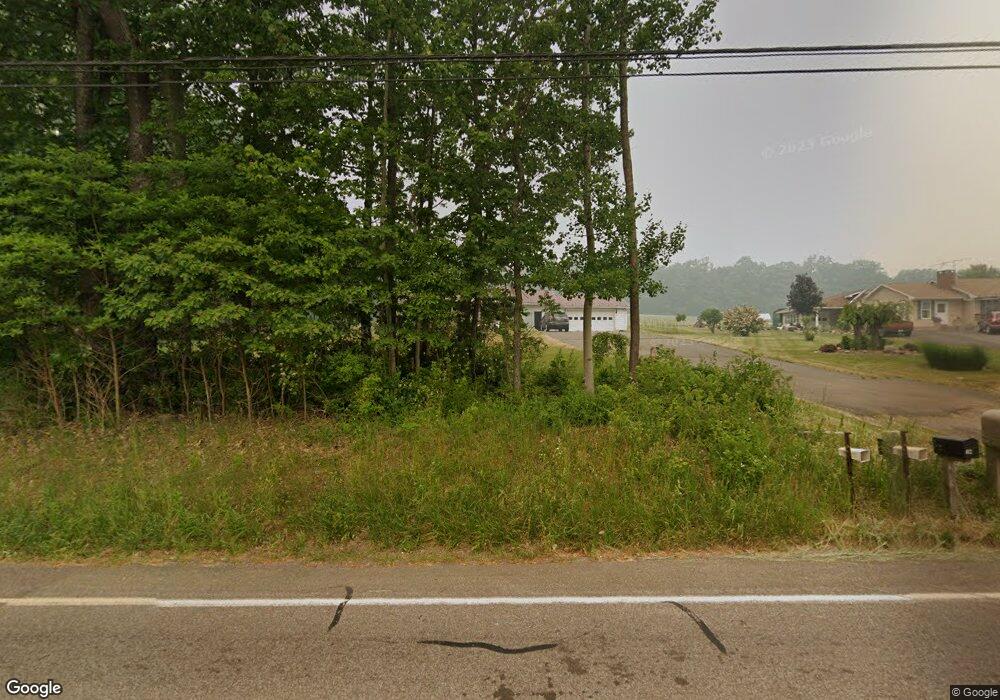
6472 State Route 42 Unityville, PA 17774
Estimated Value: $180,000 - $212,797
3
Beds
2
Baths
1,120
Sq Ft
$172/Sq Ft
Est. Value
About This Home
This home is located at 6472 State Route 42, Unityville, PA 17774 and is currently estimated at $193,199, approximately $172 per square foot. 6472 State Route 42 is a home with nearby schools including Hughesville Junior/Senior High School.
Ownership History
Date
Name
Owned For
Owner Type
Purchase Details
Closed on
Jun 29, 2020
Sold by
Gordner Teresa M and Estate Of Raymond L Gordner
Bought by
Derr Katlyn M
Current Estimated Value
Home Financials for this Owner
Home Financials are based on the most recent Mortgage that was taken out on this home.
Original Mortgage
$97,600
Outstanding Balance
$86,706
Interest Rate
3.2%
Mortgage Type
Credit Line Revolving
Estimated Equity
$106,493
Purchase Details
Closed on
Aug 4, 1998
Sold by
Stine Warren K and Stine Bernice K
Bought by
Gordner Raymond L
Create a Home Valuation Report for This Property
The Home Valuation Report is an in-depth analysis detailing your home's value as well as a comparison with similar homes in the area
Home Values in the Area
Average Home Value in this Area
Purchase History
| Date | Buyer | Sale Price | Title Company |
|---|---|---|---|
| Derr Katlyn M | $122,000 | None Available | |
| Gordner Raymond L | $87,000 | -- |
Source: Public Records
Mortgage History
| Date | Status | Borrower | Loan Amount |
|---|---|---|---|
| Open | Derr Katlyn M | $97,600 |
Source: Public Records
Tax History Compared to Growth
Tax History
| Year | Tax Paid | Tax Assessment Tax Assessment Total Assessment is a certain percentage of the fair market value that is determined by local assessors to be the total taxable value of land and additions on the property. | Land | Improvement |
|---|---|---|---|---|
| 2025 | $2,169 | $91,720 | $20,000 | $71,720 |
| 2024 | $2,143 | $91,720 | $20,000 | $71,720 |
| 2023 | $2,074 | $91,720 | $20,000 | $71,720 |
| 2022 | $2,010 | $91,720 | $20,000 | $71,720 |
| 2021 | $1,956 | $91,720 | $20,000 | $71,720 |
| 2020 | $1,952 | $91,720 | $20,000 | $71,720 |
| 2019 | $1,911 | $91,720 | $20,000 | $71,720 |
| 2018 | $1,871 | $91,720 | $20,000 | $71,720 |
| 2017 | $1,762 | $91,720 | $20,000 | $71,720 |
| 2016 | $1,699 | $91,720 | $20,000 | $71,720 |
| 2015 | $1,699 | $91,720 | $20,000 | $71,720 |
Source: Public Records
Map
Nearby Homes
- 0 Pennsylvania 42
- 133 Homebase Ln
- 20 Salem Schoolhouse Rd
- 0 Salem School Rd Unit 20-99406
- 0 Gordner Church Rd
- 2652 State Route 42
- 4435 Moreland Baptist Rd
- 0 Shingle Run Rd
- 175 Hemlock Ln
- 109 Sereno Hollow Rd
- 573 Mendenhall Hill Rd
- 53 Airport Rd
- LOT 3 Ridge Rd
- LOT 1 Patton Hill Rd
- 0 Maple Ridge Rd
- 00 Dark Hollow Rd
- 1162 Cemetery Rd
- 10204 Pennsylvania 42
- 3041 Pennsylvania 42
- 385 Lakeview Dr
- 6446 State Route 42
- 6489 State Route 42
- 6406 State Route 42
- 6324 State Route 42
- 6250 Pennsylvania 42
- 67 Unityville Rd
- 6716 State Route 42
- 9064 Moreland Baptist Rd
- 42 Pennsylvania 42
- 0 Moreland Baptist Rd Unit LOT 5A WB-70125
- 0 Moreland Baptist Rd Unit LOT4A WB-69637
- 5742 Moreland Baptist Rd
- LOT #6A Moreland Baptist Rd
- LOT #5A Moreland Baptist Rd
- LOT 6A Moreland Baptist Rd
- LOT 5A Moreland Baptist Rd
- 000 Moreland Baptist Rd
- 00 Moreland Baptist Rd
- 39 Unityville Rd
- 100 Talmar Rd
