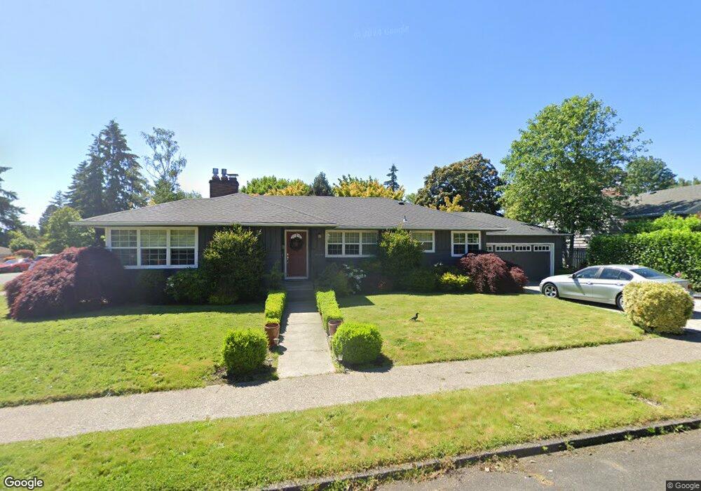
6472 SW Loop Dr Portland, OR 97221
Hayhurst NeighborhoodEstimated Value: $660,000 - $944,000
3
Beds
1
Bath
1,401
Sq Ft
$560/Sq Ft
Est. Value
About This Home
This home is located at 6472 SW Loop Dr, Portland, OR 97221 and is currently estimated at $785,165, approximately $560 per square foot. 6472 SW Loop Dr is a home located in Multnomah County with nearby schools including Hayhurst Elementary School, Robert Gray Middle School, and Ida B. Wells-Barnett High School.
Ownership History
Date
Name
Owned For
Owner Type
Purchase Details
Closed on
Oct 30, 2003
Sold by
Sanders Stan K
Bought by
Sanders Stanley K and Sanders April M
Current Estimated Value
Purchase Details
Closed on
Nov 18, 1998
Sold by
Dawson Sally R
Bought by
Sanders Stan K
Home Financials for this Owner
Home Financials are based on the most recent Mortgage that was taken out on this home.
Original Mortgage
$148,000
Interest Rate
6.42%
Mortgage Type
Purchase Money Mortgage
Purchase Details
Closed on
Mar 23, 1995
Sold by
Griffith Norman N
Bought by
Mathes Sally Rae
Create a Home Valuation Report for This Property
The Home Valuation Report is an in-depth analysis detailing your home's value as well as a comparison with similar homes in the area
Home Values in the Area
Average Home Value in this Area
Purchase History
| Date | Buyer | Sale Price | Title Company |
|---|---|---|---|
| Sanders Stanley K | -- | -- | |
| Sanders Stan K | $185,000 | Chicago Title | |
| Mathes Sally Rae | -- | -- |
Source: Public Records
Mortgage History
| Date | Status | Borrower | Loan Amount |
|---|---|---|---|
| Closed | Sanders Stan K | $148,000 |
Source: Public Records
Tax History Compared to Growth
Tax History
| Year | Tax Paid | Tax Assessment Tax Assessment Total Assessment is a certain percentage of the fair market value that is determined by local assessors to be the total taxable value of land and additions on the property. | Land | Improvement |
|---|---|---|---|---|
| 2025 | $10,406 | $386,550 | -- | -- |
| 2024 | $10,032 | $375,300 | -- | -- |
| 2023 | $9,646 | $364,370 | $0 | $0 |
| 2022 | $9,437 | $353,760 | $0 | $0 |
| 2021 | $9,278 | $343,460 | $0 | $0 |
| 2020 | $8,511 | $333,460 | $0 | $0 |
| 2019 | $8,198 | $323,750 | $0 | $0 |
| 2018 | $7,957 | $314,330 | $0 | $0 |
| 2017 | $7,626 | $305,180 | $0 | $0 |
| 2016 | $6,979 | $296,300 | $0 | $0 |
| 2015 | $6,795 | $287,670 | $0 | $0 |
| 2014 | $6,693 | $279,300 | $0 | $0 |
Source: Public Records
Map
Nearby Homes
- 4140 SW Dakota St
- 6255 SW Tower Way
- 6021 SW 45th Ave
- 5040 SW Iowa St
- 3946 SW Cullen Blvd
- 3605 SW Texas St
- 3441 SW Vermont St
- 3624 SW Nevada St
- 4606 SW Martha St
- 4255 SW Beaverton Hillsdale Hwy
- 6005 SW 33rd Place
- 5411 SW Idaho St
- 3609 SW Logan St
- 7321 SW 52nd Ave
- 3611 SW Logan St
- 3613 SW Logan St
- 4819 SW Beaverton Hillsdale Hwy
- 4823 SW Beaverton Hillsdale Hwy
- 7733 SW 42nd Ave
- 5005 SW Mitchell St Unit 3
- 4421 SW Idaho Dr
- 6462 SW Loop Dr
- 6300 SW 45th Ave
- 6473 SW Loop Dr
- 6240 SW 45th Ave
- 6460 SW Loop Dr
- 6469 SW Loop Dr
- 4412 SW Idaho Dr
- 4420 SW Idaho Dr
- 6465 SW Loop Dr
- 6230 SW 45th Ave
- 4408 SW Idaho Dr
- 4428 SW Idaho Dr
- 4405 SW Idaho Dr
- 6461 SW Loop Dr
- 6409 SW Loop Dr
- 6413 SW Loop Dr
- 4400 SW Idaho Dr
- 6417 SW Loop Dr
- 6456 SW Loop Dr