64760 Robinson Rd Cassopolis, MI 49031
Estimated Value: $378,020 - $415,000
--
Bed
--
Bath
--
Sq Ft
11.6
Acres
About This Home
This home is located at 64760 Robinson Rd, Cassopolis, MI 49031 and is currently estimated at $396,510. 64760 Robinson Rd is a home with nearby schools including Sam Adams Elementary School, Cassopolis Middle School, and Cassopolis Ross Beatty High School.
Ownership History
Date
Name
Owned For
Owner Type
Purchase Details
Closed on
Jul 12, 2021
Sold by
Linton Jospeh Ronald and Linton Nicole Ann
Bought by
Linton Nicole Ann and Linton Jospeh Ronald
Current Estimated Value
Home Financials for this Owner
Home Financials are based on the most recent Mortgage that was taken out on this home.
Original Mortgage
$177,000
Outstanding Balance
$160,600
Interest Rate
2.9%
Mortgage Type
Future Advance Clause Open End Mortgage
Estimated Equity
$235,910
Purchase Details
Closed on
May 25, 2007
Sold by
Michiana Monuments Inc
Bought by
Linton Joseph and Linton Nicole
Create a Home Valuation Report for This Property
The Home Valuation Report is an in-depth analysis detailing your home's value as well as a comparison with similar homes in the area
Home Values in the Area
Average Home Value in this Area
Purchase History
| Date | Buyer | Sale Price | Title Company |
|---|---|---|---|
| Linton Nicole Ann | -- | None Available | |
| Linton Joseph | -- | None Available |
Source: Public Records
Mortgage History
| Date | Status | Borrower | Loan Amount |
|---|---|---|---|
| Open | Linton Nicole Ann | $177,000 |
Source: Public Records
Tax History Compared to Growth
Tax History
| Year | Tax Paid | Tax Assessment Tax Assessment Total Assessment is a certain percentage of the fair market value that is determined by local assessors to be the total taxable value of land and additions on the property. | Land | Improvement |
|---|---|---|---|---|
| 2025 | $2,512 | $184,600 | $44,800 | $139,800 |
| 2024 | $1,041 | $178,700 | $38,600 | $140,100 |
| 2023 | $993 | $142,800 | $0 | $0 |
| 2022 | $946 | $135,600 | $0 | $0 |
| 2021 | $2,171 | $139,600 | $0 | $0 |
| 2020 | $2,148 | $137,000 | $0 | $0 |
| 2019 | $2,070 | $118,900 | $0 | $0 |
| 2018 | $871 | $121,500 | $0 | $0 |
| 2017 | $853 | $117,400 | $0 | $0 |
| 2016 | $845 | $116,700 | $0 | $0 |
| 2015 | -- | $88,200 | $0 | $0 |
| 2011 | -- | $108,293 | $0 | $0 |
Source: Public Records
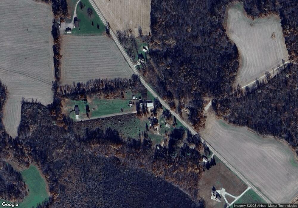
Map
Nearby Homes
- 21932 Buffalo Ln
- 64145 Brick Church Rd
- 23803 Evan St
- 21373 Sail Bay Dr
- V/L M 62
- 20177 Osborn St
- 22451 Painter St
- 22455 Painter St
- 66150 Michigan 62
- Tract 7 Brookside Ct
- Tract 6 Brookside Ct
- Tract 5 Brookside Ct
- Tract 4 Deep Woods Dr
- Tract 3 Deep Woods Dr
- Tract #2 Deep Woods Dr
- Tract 1 Deep Woods Dr
- 67354 Oil City Rd
- 11 Ashley Rd
- 25481 Jefferson Center St
- 22345 Woodland St
- 64706 Robinson Rd
- 64800 Robinson Rd
- 64601 Robinson Rd
- 64802 Robinson Rd
- 64790 Robinson Rd
- 64828 Robinson Rd
- 64771 Robinson Rd
- 64617 Robinson Rd
- 64846 Robinson Rd
- 64891 Brick Church Rd
- 0 Brick Church Rd
- 64653 Brick Church Rd
- 0 Robinson Rd
- 65050 Robinson Rd
- 64657 Robinson Rd
- 64595 Brick Church Rd
- 22849 Jefferson Center St
- 64275 Robinson Rd
- 64983 Robinson Rd
- 64245 Robinson Rd