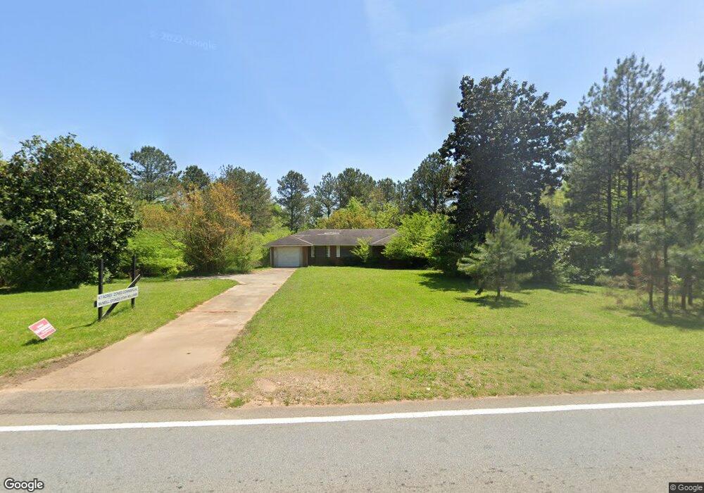
6477 McEver Rd Flowery Branch, GA 30542
Estimated Value: $406,000 - $949,039
3
Beds
2
Baths
1,419
Sq Ft
$493/Sq Ft
Est. Value
About This Home
This home is located at 6477 McEver Rd, Flowery Branch, GA 30542 and is currently estimated at $700,010, approximately $493 per square foot. 6477 McEver Rd is a home located in Hall County with nearby schools including Flowery Branch Elementary School, West Hall Middle School, and West Hall High School.
Ownership History
Date
Name
Owned For
Owner Type
Purchase Details
Closed on
Jul 16, 2024
Sold by
Ameris Bank
Bought by
Flowery Branch City
Current Estimated Value
Purchase Details
Closed on
Aug 14, 2015
Sold by
Keeton Delynn
Bought by
Blessing Traders Inc
Purchase Details
Closed on
Dec 18, 2000
Sold by
Mann Clara D
Bought by
W Mark Coppage Jr Family Trust
Create a Home Valuation Report for This Property
The Home Valuation Report is an in-depth analysis detailing your home's value as well as a comparison with similar homes in the area
Home Values in the Area
Average Home Value in this Area
Purchase History
| Date | Buyer | Sale Price | Title Company |
|---|---|---|---|
| Flowery Branch City | -- | -- | |
| Blessing Traders Inc | $247,500 | -- | |
| Blessing Traders Inc | $247,500 | -- | |
| Blessing Traders Inc | -- | -- | |
| Blessing Traders Inc | -- | -- | |
| W Mark Coppage Jr Family Trust | -- | -- |
Source: Public Records
Tax History Compared to Growth
Tax History
| Year | Tax Paid | Tax Assessment Tax Assessment Total Assessment is a certain percentage of the fair market value that is determined by local assessors to be the total taxable value of land and additions on the property. | Land | Improvement |
|---|---|---|---|---|
| 2024 | $9,731 | $343,120 | $330,160 | $12,960 |
| 2023 | $8,519 | $289,680 | $271,880 | $17,800 |
| 2022 | $7,574 | $289,680 | $271,880 | $17,800 |
| 2021 | $6,943 | $306,680 | $288,880 | $17,800 |
| 2020 | $7,819 | $285,160 | $268,240 | $16,920 |
| 2019 | $3,000 | $108,440 | $92,800 | $15,640 |
| 2018 | $3,031 | $106,080 | $92,800 | $13,280 |
| 2017 | $3,133 | $107,000 | $92,800 | $14,200 |
| 2016 | $2,831 | $107,893 | $92,800 | $15,093 |
| 2015 | $3,289 | $107,893 | $92,800 | $15,093 |
| 2014 | $3,289 | $114,133 | $99,040 | $15,093 |
Source: Public Records
Map
Nearby Homes
- 6660 Parsons St
- SUDBURY 24' TOWNHOME Plan at Waypoint
- ADDINGTON Plan at Waypoint
- SALISBURY 24' TOWNHOME Plan at Waypoint
- AMESBURY Plan at Waypoint
- 6749 Leigh St
- 6740 Leigh St
- 6732 Leigh St
- 6737 Leigh St
- 6745 Leigh St
- 6714 Corryton St
- 6664 Parsons St
- 6414 Deep Valley Ct Unit 14081408
- 6308 Chestnut Hill Rd
- 6495 McEver Rd
- 6490 McEver Rd
- 6510 Vista Glen
- 6511 Bell Fork Rd
- 6509 McEver Rd
- 6514 Vista Glen
- 0 Vista Glen Dr
- 6518 Vista Glen
- 6168 Gaines Ferry Rd Unit 1 AND 2
- 6168 Gaines Ferry Rd Unit 1
- 6168 Gaines Ferry Rd Unit 1 AND
- 6505 Vista Glen
- 6522 Vista Glen
- 6509 Vista Glen
- 3700 Gaines Ferry Rd Unit G-8
- 3700 Gaines Ferry Rd
- 6513 Vista Glen
- 6526 Vista Glen
- 6517 Vista Glen
- 6157 Gaines Ferry Rd