6477 Us Highway 29 Unit R1 Browns Summit, NC 27214
Estimated Value: $152,000 - $211,000
2
Beds
1
Bath
1,169
Sq Ft
$156/Sq Ft
Est. Value
About This Home
This home is located at 6477 Us Highway 29 Unit R1, Browns Summit, NC 27214 and is currently estimated at $182,608, approximately $156 per square foot. 6477 Us Highway 29 Unit R1 is a home located in Guilford County with nearby schools including Monticello-Brown Summit Elementary School, Northeast Guilford Middle School, and Northeast Guilford High School.
Ownership History
Date
Name
Owned For
Owner Type
Purchase Details
Closed on
Jan 24, 2022
Sold by
Cruz Ledezma Margarita De La
Bought by
Ledezma Fortunato Fernandez
Current Estimated Value
Purchase Details
Closed on
Jul 20, 2001
Sold by
Gordon Bennett Herman and Gordon Buddy Wayne
Bought by
Ledezma Fortunato and Ledezma Margarita
Home Financials for this Owner
Home Financials are based on the most recent Mortgage that was taken out on this home.
Original Mortgage
$72,100
Interest Rate
7.25%
Purchase Details
Closed on
Apr 17, 2000
Sold by
Gordon Blanche Payne
Bought by
Gordon Bennett Herman and Gordon Buddy Wayne
Create a Home Valuation Report for This Property
The Home Valuation Report is an in-depth analysis detailing your home's value as well as a comparison with similar homes in the area
Home Values in the Area
Average Home Value in this Area
Purchase History
| Date | Buyer | Sale Price | Title Company |
|---|---|---|---|
| Ledezma Fortunato Fernandez | -- | Chicago Title | |
| Ledezma Fortunato | $70,000 | -- | |
| Gordon Bennett Herman | -- | -- |
Source: Public Records
Mortgage History
| Date | Status | Borrower | Loan Amount |
|---|---|---|---|
| Previous Owner | Ledezma Fortunato | $72,100 |
Source: Public Records
Tax History Compared to Growth
Tax History
| Year | Tax Paid | Tax Assessment Tax Assessment Total Assessment is a certain percentage of the fair market value that is determined by local assessors to be the total taxable value of land and additions on the property. | Land | Improvement |
|---|---|---|---|---|
| 2025 | $669 | $75,100 | $30,000 | $45,100 |
| 2024 | $669 | $75,100 | $30,000 | $45,100 |
| 2023 | $669 | $75,100 | $30,000 | $45,100 |
| 2022 | $654 | $75,100 | $30,000 | $45,100 |
| 2021 | $580 | $66,600 | $22,000 | $44,600 |
| 2020 | $580 | $66,600 | $22,000 | $44,600 |
| 2019 | $580 | $66,600 | $0 | $0 |
| 2018 | $570 | $66,600 | $0 | $0 |
| 2017 | $570 | $66,600 | $0 | $0 |
| 2016 | $584 | $66,000 | $0 | $0 |
| 2015 | $587 | $66,000 | $0 | $0 |
| 2014 | $594 | $66,000 | $0 | $0 |
Source: Public Records
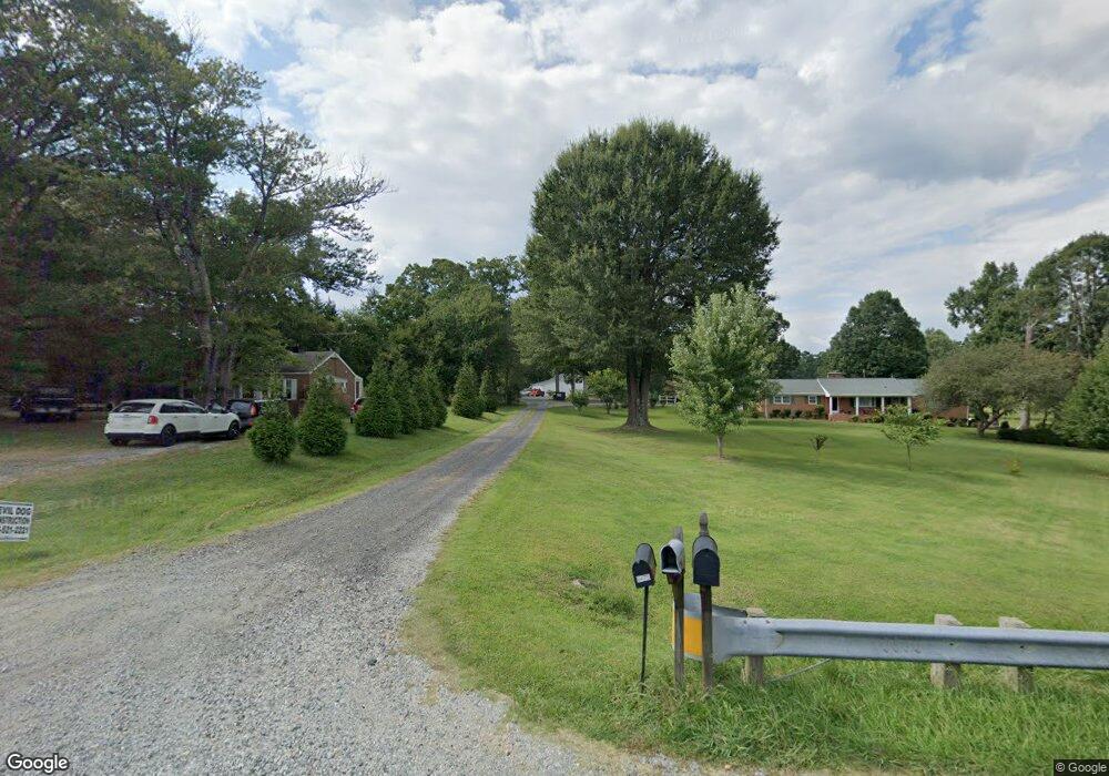
Map
Nearby Homes
- 7039 McLeansville Rd
- 4907 Gordon Farm Way
- 5716 Oakgate Dr
- 7049 McLeansville Rd
- 5624 Baverhof Dr
- 209 Rangeland Place
- 4814 Greenbrook Rd
- 5506 Tier View Trail
- 5130 Brahman Trail
- 6900 Lowline Dr
- 5034 Shorthorn Way
- Cali Plan at Middleton
- Penwell Plan at Middleton
- Winston Plan at Middleton
- Wilmington Plan at Middleton
- Hayden Plan at Middleton
- 1210 Broholmer Ln
- 5512 Baverhof Dr
- 1212 Broholmer Ln
- 1214 Broholmer Ln
- 6477 Us Highway 29 Unit REAR
- 6479 Us Highway 29
- 6475 Us Highway 29
- 6479 U S 29
- 6074 Summit Ave
- 6076 Summit Ave
- 6471 Us Highway 29
- 6072 Summit Ave
- 6070 Summit Ave
- 6068 Summit Ave
- 6080 Summit Ave
- 6064 Summit Ave
- 6063 Summit Ave
- 6065 Summit Ave
- 6081 Summit Ave
- 6062 Summit Ave
- 6097 Summit Ave
- 6041 Summit Ave
- 5600 Summit Ave
- 6039 Summit Ave