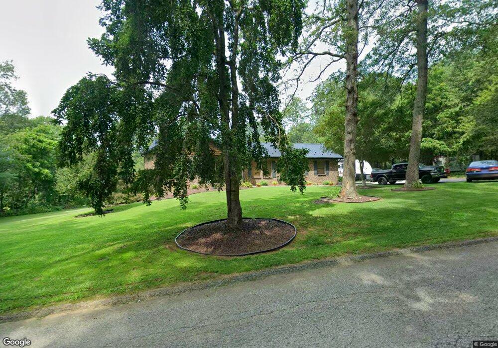
6479 Anderson Rd Stewartstown, PA 17363
Estimated Value: $295,000 - $439,000
3
Beds
2
Baths
1,155
Sq Ft
$292/Sq Ft
Est. Value
About This Home
This home is located at 6479 Anderson Rd, Stewartstown, PA 17363 and is currently estimated at $337,835, approximately $292 per square foot. 6479 Anderson Rd is a home located in York County with nearby schools including South Eastern Intermediate School, South Eastern Middle School, and Kennard-Dale High School.
Ownership History
Date
Name
Owned For
Owner Type
Purchase Details
Closed on
May 20, 1998
Sold by
Green Sandra Ann
Bought by
Robinson Mark T and Robinson Selina A
Current Estimated Value
Home Financials for this Owner
Home Financials are based on the most recent Mortgage that was taken out on this home.
Original Mortgage
$104,908
Outstanding Balance
$20,374
Interest Rate
7.03%
Mortgage Type
FHA
Estimated Equity
$317,462
Purchase Details
Closed on
Apr 1, 1996
Bought by
Green Sandra Ann
Create a Home Valuation Report for This Property
The Home Valuation Report is an in-depth analysis detailing your home's value as well as a comparison with similar homes in the area
Home Values in the Area
Average Home Value in this Area
Purchase History
| Date | Buyer | Sale Price | Title Company |
|---|---|---|---|
| Robinson Mark T | -- | -- | |
| Green Sandra Ann | -- | -- |
Source: Public Records
Mortgage History
| Date | Status | Borrower | Loan Amount |
|---|---|---|---|
| Open | Robinson Mark T | $104,908 |
Source: Public Records
Tax History Compared to Growth
Tax History
| Year | Tax Paid | Tax Assessment Tax Assessment Total Assessment is a certain percentage of the fair market value that is determined by local assessors to be the total taxable value of land and additions on the property. | Land | Improvement |
|---|---|---|---|---|
| 2025 | $4,875 | $166,050 | $52,000 | $114,050 |
| 2024 | $4,875 | $166,050 | $52,000 | $114,050 |
| 2023 | $4,875 | $166,050 | $52,000 | $114,050 |
| 2022 | $4,875 | $166,050 | $52,000 | $114,050 |
| 2021 | $4,709 | $166,050 | $52,000 | $114,050 |
| 2020 | $4,709 | $166,050 | $52,000 | $114,050 |
| 2019 | $4,693 | $166,050 | $52,000 | $114,050 |
| 2018 | $4,693 | $166,050 | $52,000 | $114,050 |
| 2017 | $4,693 | $166,050 | $52,000 | $114,050 |
| 2016 | $0 | $166,050 | $52,000 | $114,050 |
| 2015 | -- | $166,050 | $52,000 | $114,050 |
| 2014 | -- | $166,050 | $52,000 | $114,050 |
Source: Public Records
Map
Nearby Homes
- 18183 Piedmont Rd
- 94 Piston Ct
- 82 Piston Ct
- 2 S Main St
- 18010 Dave Anne Cir
- 18007 Dave Anne Cir
- 9 W Pennsylvania Ave
- 13 Baneberry St
- 17 Charles Ave
- 0 Lutz Rd Unit PAYK2095052
- 0 Lutz Rd Unit PAYK2095064
- 8287 Pleasant Valley Rd
- 10 Black Oak Ct
- 103 Hershey Cir
- 150 Patterson Dr Unit 47
- 160 Patterson Dr Unit 48
- 231 Cool Spring Ln
- 180 Patterson Dr Unit 50
- 5371 Long Corner Rd
- 4341 Forbes Dr
- 6544 Anderson Rd
- 15339 Little Rd
- 15483 Little Rd
- 15586 Little Rd
- Lot 16 Little Rd
- 15681 Little Rd
- 15138 Little Rd
- 6075 Anderson Rd
- 15789 Little Rd
- Lot 15 Anderson Rd
- 15708 Peaceful Valley Ln
- 15702 Peaceful Valley Ln
- 6061 Anderson Rd
- 15707 Peaceful Valley Ln
- 15701 Peaceful Valley Ln
- Lot 13 Anderson Rd
- 6031 Anderson Rd
- 14962 Little Rd
- 6005 Anderson Rd
- 5250 Lakewood Ln