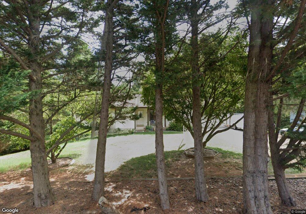
6479 Appomattox Dr Warrenton, VA 20187
Estimated Value: $525,000 - $558,000
3
Beds
2
Baths
1,452
Sq Ft
$373/Sq Ft
Est. Value
About This Home
This home is located at 6479 Appomattox Dr, Warrenton, VA 20187 and is currently estimated at $541,375, approximately $372 per square foot. 6479 Appomattox Dr is a home located in Fauquier County with nearby schools including P.B. Smith Elementary School, Marshall Middle School, and Fauquier High School.
Ownership History
Date
Name
Owned For
Owner Type
Purchase Details
Closed on
Oct 15, 2021
Sold by
Kreutter Elsie D
Bought by
Kreutter Elsie D and Kreutter Rene
Current Estimated Value
Purchase Details
Closed on
May 3, 1996
Sold by
Kr Roth
Bought by
Needham Roger
Home Financials for this Owner
Home Financials are based on the most recent Mortgage that was taken out on this home.
Original Mortgage
$113,600
Outstanding Balance
$6,367
Interest Rate
7.82%
Estimated Equity
$535,008
Create a Home Valuation Report for This Property
The Home Valuation Report is an in-depth analysis detailing your home's value as well as a comparison with similar homes in the area
Home Values in the Area
Average Home Value in this Area
Purchase History
| Date | Buyer | Sale Price | Title Company |
|---|---|---|---|
| Kreutter Elsie D | -- | None Available | |
| Needham Roger | $142,000 | -- |
Source: Public Records
Mortgage History
| Date | Status | Borrower | Loan Amount |
|---|---|---|---|
| Open | Needham Roger | $113,600 |
Source: Public Records
Tax History Compared to Growth
Tax History
| Year | Tax Paid | Tax Assessment Tax Assessment Total Assessment is a certain percentage of the fair market value that is determined by local assessors to be the total taxable value of land and additions on the property. | Land | Improvement |
|---|---|---|---|---|
| 2025 | $4,116 | $425,600 | $135,000 | $290,600 |
| 2024 | -- | $425,600 | $135,000 | $290,600 |
| 2023 | $3,045 | $425,600 | $135,000 | $290,600 |
| 2022 | $3,045 | $425,600 | $135,000 | $290,600 |
| 2021 | $3,045 | $305,000 | $120,000 | $185,000 |
| 2020 | $3,045 | $305,000 | $120,000 | $185,000 |
| 2019 | $3,045 | $305,000 | $120,000 | $185,000 |
| 2018 | $3,009 | $305,000 | $120,000 | $185,000 |
| 2016 | $2,557 | $244,800 | $110,000 | $134,800 |
| 2015 | -- | $244,800 | $110,000 | $134,800 |
| 2014 | -- | $244,800 | $110,000 | $134,800 |
Source: Public Records
Map
Nearby Homes
- 7241 Blackwell Rd
- 7245 Blackwell Rd
- 7253 Blackwell Rd
- 6397 Tazewell St
- 7213 Princess Anne Ct
- 7333 Hazelwood Ct
- 6416 Airlie Rd
- 541 Highland Towne Ln
- LOT 1 Blackwell Rd
- 0 Hwy Unit VAFQ2018052
- 7176 Homestead Ct
- 0 Airlie Road Lee Hwy Unit VAFQ2018058
- 7038 Beaconsfield Ln
- 7631 Movern Ln
- 535 Winchester St
- 916 Broadview Ave
- 575 Solgrove Rd
- 507 Winchester St
- 315 Winterset Ln
- 562 Tiffany Ct
- 6485 Appomattox Dr
- 6475 Appomattox Dr
- 7269 King William St
- 7277 King William St
- 6469 Appomattox Dr
- 6472 Appomattox Dr
- 6474 Gloucester St
- 6474 Glouchester St
- 7274 King William St
- 7263 King William St
- 7276 King William St
- 6472 Glouchester St
- 6472 Gloucester St
- 6463 Appomattox Dr
- 6464 Appomattox Dr
- 7264 King William St
- 6462 Appomattox Dr
- 6466 Gloucester St
- 7255 King William St
- 6466 Glouchester St