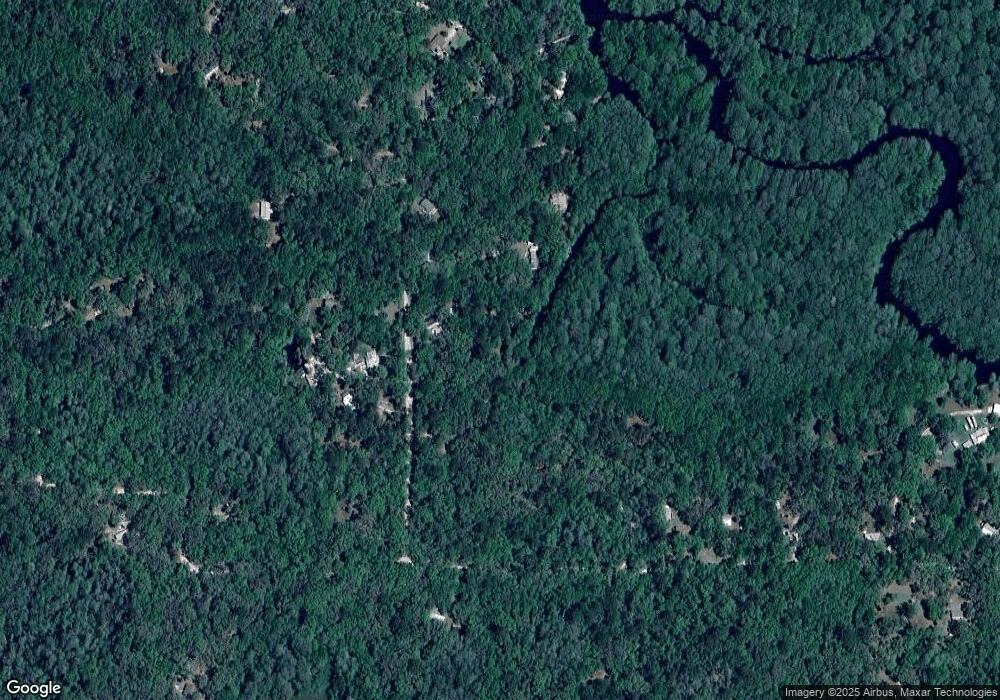
6479 E Sioux Canal Dr Hernando, FL 34442
Estimated Value: $94,000 - $171,000
2
Beds
1
Bath
638
Sq Ft
$209/Sq Ft
Est. Value
About This Home
This home is located at 6479 E Sioux Canal Dr, Hernando, FL 34442 and is currently estimated at $133,343, approximately $209 per square foot. 6479 E Sioux Canal Dr is a home located in Citrus County with nearby schools including Central Ridge Elementary School, Citrus Springs Middle School, and Citrus High School.
Ownership History
Date
Name
Owned For
Owner Type
Purchase Details
Closed on
Oct 11, 2017
Sold by
Nagy Revocable Trust
Bought by
70023C Llc
Current Estimated Value
Purchase Details
Closed on
Aug 1, 2017
Sold by
Nagy Revocable Trust
Bought by
70023C Llc
Purchase Details
Closed on
Sep 1, 1995
Bought by
Nagy David S and Nagy Elizabeth M
Purchase Details
Closed on
Sep 1, 1988
Bought by
Nagy David S and Nagy Elizabeth M
Purchase Details
Closed on
May 1, 1985
Bought by
Nagy David S and Nagy Elizabeth M
Create a Home Valuation Report for This Property
The Home Valuation Report is an in-depth analysis detailing your home's value as well as a comparison with similar homes in the area
Home Values in the Area
Average Home Value in this Area
Purchase History
| Date | Buyer | Sale Price | Title Company |
|---|---|---|---|
| 70023C Llc | -- | Attorney | |
| 70023C Llc | -- | Attorney | |
| 70023C Llc | -- | Attorney | |
| Nagy David S | $100 | -- | |
| Nagy David S | $100 | -- | |
| Nagy David S | $500 | -- |
Source: Public Records
Tax History Compared to Growth
Tax History
| Year | Tax Paid | Tax Assessment Tax Assessment Total Assessment is a certain percentage of the fair market value that is determined by local assessors to be the total taxable value of land and additions on the property. | Land | Improvement |
|---|---|---|---|---|
| 2025 | $1,156 | $83,975 | $8,960 | $75,015 |
| 2024 | $1,054 | $85,653 | $8,960 | $76,693 |
| 2023 | $1,054 | $53,941 | $0 | $0 |
| 2022 | $937 | $66,149 | $8,090 | $58,059 |
| 2021 | $839 | $56,280 | $8,090 | $48,190 |
| 2020 | $770 | $53,515 | $8,090 | $45,425 |
| 2019 | $681 | $42,325 | $8,090 | $34,235 |
| 2018 | $584 | $33,493 | $8,090 | $25,403 |
| 2017 | $557 | $31,008 | $8,090 | $22,918 |
| 2016 | $553 | $29,539 | $8,090 | $21,449 |
| 2015 | $542 | $28,420 | $7,840 | $20,580 |
| 2014 | $585 | $29,980 | $9,002 | $20,978 |
Source: Public Records
Map
Nearby Homes
- 6455 E Sioux Canal Dr
- 6252 E River Rd
- 6915 E Totem Ct
- 6929 E Totem Ct
- 6960 E Totem Ct
- 6970 E Totem Ct
- 5711 E Squaw Ct
- 7024 E Channel Dr
- 6970 N Palm Oak Dr
- 5763 E River Rd
- 7051 N Nature Trail
- 6783 N Tamarind Ave
- 4711 E Posselt Dr
- 4956 E Posselt Dr
- 6589 N Sourgum Terrace
- 6610 N Shorewood Dr
- 6363 N Sourgum Terrace
- 6384 N Sourgum Terrace
- 6650 N Beechnut Loop
- 4619 E Withlacoochee Trail
- 6461 E River Rd
- 6462 E Neff Ct
- 6470 E River Rd
- 6446 E Neff Ct
- 6498 E Neff Ct
- 6487 E Neff Ct
- 6459 E Forest Trail Dr
- 6381 E Sioux Canal Dr
- 6445 E Neff Ct
- 6367 E Sioux Canal Dr
- 6447 E Neff Ct
- 6353 Sioux Canal
- 0 E Sioux Canal Dr
- 6501 E Neff Ct
- 6435 E River Rd
- 6508 E Forest Trail Dr
- 6685 E Forest Trail Dr
- 6460 E Forest Trail Dr
- 0 E Forest Trail Dr
