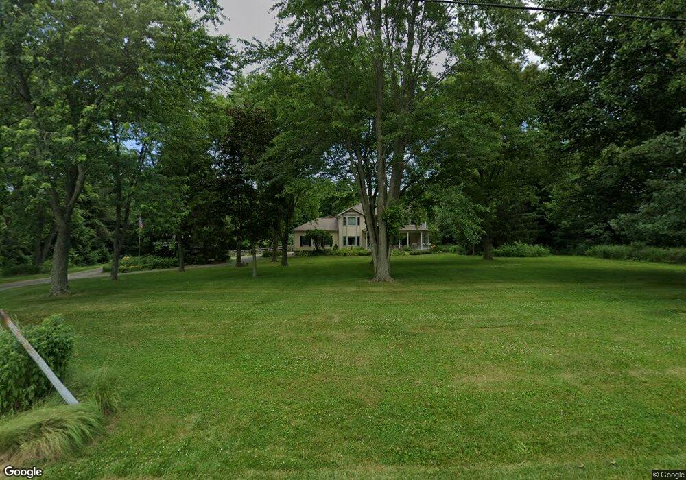
6479 W 50 S La Porte, IN 46350
Estimated Value: $443,000 - $531,000
4
Beds
3
Baths
2,248
Sq Ft
$209/Sq Ft
Est. Value
About This Home
This home is located at 6479 W 50 S, La Porte, IN 46350 and is currently estimated at $469,617, approximately $208 per square foot. 6479 W 50 S is a home located in LaPorte County with nearby schools including Westville Elementary School and Westville High School.
Ownership History
Date
Name
Owned For
Owner Type
Purchase Details
Closed on
Dec 29, 2015
Sold by
Barker Steven B and Kamins Nicole L
Bought by
Barker Steven B and Barker Nicole L
Current Estimated Value
Purchase Details
Closed on
Mar 14, 2011
Sold by
Rac Closing Services Llc
Bought by
Barker Steven B and Kamins Nicole L
Home Financials for this Owner
Home Financials are based on the most recent Mortgage that was taken out on this home.
Original Mortgage
$252,000
Outstanding Balance
$174,287
Interest Rate
4.93%
Mortgage Type
New Conventional
Estimated Equity
$295,330
Purchase Details
Closed on
Nov 1, 2010
Sold by
Jefferson Denis K and Jefferson Mary Ellen
Bought by
Rac Closing Services Llc
Create a Home Valuation Report for This Property
The Home Valuation Report is an in-depth analysis detailing your home's value as well as a comparison with similar homes in the area
Home Values in the Area
Average Home Value in this Area
Purchase History
| Date | Buyer | Sale Price | Title Company |
|---|---|---|---|
| Barker Steven B | -- | None Available | |
| Barker Steven B | -- | First American Title | |
| Rac Closing Services Llc | -- | First American Title |
Source: Public Records
Mortgage History
| Date | Status | Borrower | Loan Amount |
|---|---|---|---|
| Open | Barker Steven B | $252,000 |
Source: Public Records
Tax History Compared to Growth
Tax History
| Year | Tax Paid | Tax Assessment Tax Assessment Total Assessment is a certain percentage of the fair market value that is determined by local assessors to be the total taxable value of land and additions on the property. | Land | Improvement |
|---|---|---|---|---|
| 2024 | $2,964 | $306,800 | $58,400 | $248,400 |
| 2023 | $2,885 | $288,200 | $58,400 | $229,800 |
| 2022 | $2,823 | $267,800 | $58,400 | $209,400 |
| 2021 | $2,773 | $249,700 | $58,400 | $191,300 |
| 2020 | $2,654 | $249,700 | $58,400 | $191,300 |
| 2019 | $2,710 | $252,100 | $58,400 | $193,700 |
| 2018 | $2,766 | $244,100 | $58,300 | $185,800 |
| 2017 | $2,467 | $222,200 | $44,900 | $177,300 |
| 2016 | $2,498 | $221,200 | $44,900 | $176,300 |
| 2014 | $2,398 | $240,400 | $44,900 | $195,500 |
Source: Public Records
Map
Nearby Homes
- 0 N Goldring Rd Unit NRA828377
- 906 N Honeysuckle Ln
- 0 N Forrester Rd
- 1139 S 500 W
- 1111 S 500 W
- 7101 W 125 N
- 5709 W 150 N
- 5424 W 150 N
- 7725 W Arndt Ct
- 1441 N Wozniak Rd
- 0 W Applewood Dr Unit NRA813098
- 3977 W Timber Ridge Rd
- 166 N Woodland Dr
- 3866 W Pawnee Dr
- 3555 S Maple Lane Ct
- 6475 W Joliet Rd
- 1927 N Country Ln
- 1587 N Rustic Dr
- 2335 N Forrester Rd
- 554 N Orr Lake Rd