648 Harve Mathis Rd Athens, GA 30601
Estimated Value: $149,870 - $299,000
--
Bed
--
Bath
842
Sq Ft
$235/Sq Ft
Est. Value
About This Home
This home is located at 648 Harve Mathis Rd, Athens, GA 30601 and is currently estimated at $198,218, approximately $235 per square foot. 648 Harve Mathis Rd is a home located in Clarke County with nearby schools including Judia Jackson Harris Elementary School, Coile Middle School, and Cedar Shoals High School.
Ownership History
Date
Name
Owned For
Owner Type
Purchase Details
Closed on
Apr 25, 2022
Sold by
Vilchez Efren Zarco
Bought by
Zarco Antonio Garfias
Current Estimated Value
Purchase Details
Closed on
Jun 27, 2016
Sold by
Price Trevor
Bought by
Vilchez Efren Zarco
Home Financials for this Owner
Home Financials are based on the most recent Mortgage that was taken out on this home.
Original Mortgage
$8,000
Interest Rate
3.64%
Mortgage Type
New Conventional
Purchase Details
Closed on
May 3, 2003
Sold by
Burroughs Leslie Shelton Estate Of
Bought by
Price Trevor
Create a Home Valuation Report for This Property
The Home Valuation Report is an in-depth analysis detailing your home's value as well as a comparison with similar homes in the area
Home Values in the Area
Average Home Value in this Area
Purchase History
| Date | Buyer | Sale Price | Title Company |
|---|---|---|---|
| Zarco Antonio Garfias | -- | -- | |
| Vilchez Efren Zarco | $33,000 | -- | |
| Price Trevor | $35,000 | -- |
Source: Public Records
Mortgage History
| Date | Status | Borrower | Loan Amount |
|---|---|---|---|
| Previous Owner | Vilchez Efren Zarco | $8,000 |
Source: Public Records
Tax History Compared to Growth
Tax History
| Year | Tax Paid | Tax Assessment Tax Assessment Total Assessment is a certain percentage of the fair market value that is determined by local assessors to be the total taxable value of land and additions on the property. | Land | Improvement |
|---|---|---|---|---|
| 2025 | $1,361 | $43,843 | $12,000 | $31,843 |
| 2024 | $1,361 | $41,230 | $12,000 | $29,230 |
| 2023 | $1,288 | $35,513 | $8,000 | $27,513 |
| 2022 | $961 | $30,138 | $8,000 | $22,138 |
| 2021 | $738 | $21,909 | $4,760 | $17,149 |
| 2020 | $681 | $20,209 | $4,760 | $15,449 |
| 2019 | $618 | $18,198 | $4,760 | $13,438 |
| 2018 | $505 | $14,875 | $4,420 | $10,455 |
| 2017 | $448 | $14,875 | $4,420 | $10,455 |
| 2016 | $166 | $14,874 | $4,420 | $10,454 |
| 2015 | $166 | $14,874 | $4,420 | $10,454 |
| 2014 | $167 | $14,875 | $4,420 | $10,455 |
Source: Public Records
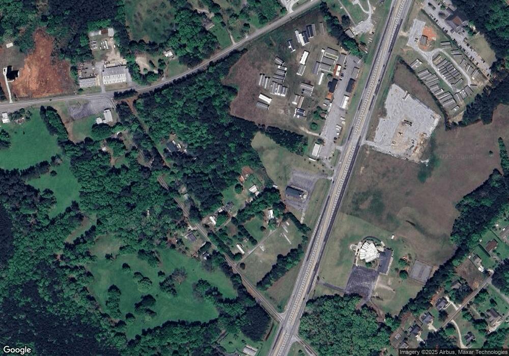
Map
Nearby Homes
- 481 Bedford Dr
- 136 Wellington Dr
- 525 Virginia Ln
- 3080 Danielsville Rd
- 8986 Highway 29 S
- 181 Bedford Dr
- 685 Bedford Dr
- 540 & 542 Harve Mathis Rd
- 121 Sweetgum Way
- 0 Woodland Creek Place Unit 10421130
- 838 Virginia Ln
- 424 Belhaven Ln
- 300 Harve Mathis Rd
- 1176 Kimberly Cir
- 336 Old Pittard Rd
- 0 Virginia Ln Unit Lot 15 CL336098
- 0 Virginia Ln Unit LOT 15 10579204
- 1309 Hull Rd
- 1761 Hwy 29n
- 644 Harve Mathis Rd
- 1761 Highway 29 N
- 640 Harve Mathis Rd
- 700 Harve Mathis Rd
- 650 Harve Mathis Rd
- 720 Harve Mathis Rd
- 705 Harve Mathis Rd
- 715 Harve Mathis Rd
- 740 Harve Mathis Rd
- 725 Harve Mathis Rd
- 1941 Hwy 29n
- 0 Highway 29 S Unit 3059866
- 0 Highway 29 S Unit 3059883
- 0 Highway 29 S Unit CM907899
- 0 Highway 29 S Unit CM937190
- 0 Highway 29 S Unit B CM921565
- 0 Highway 29 S Unit C CM921569
- 0 Highway 29 S Unit CM245962
- 0 Highway 29 S Unit C CM929959