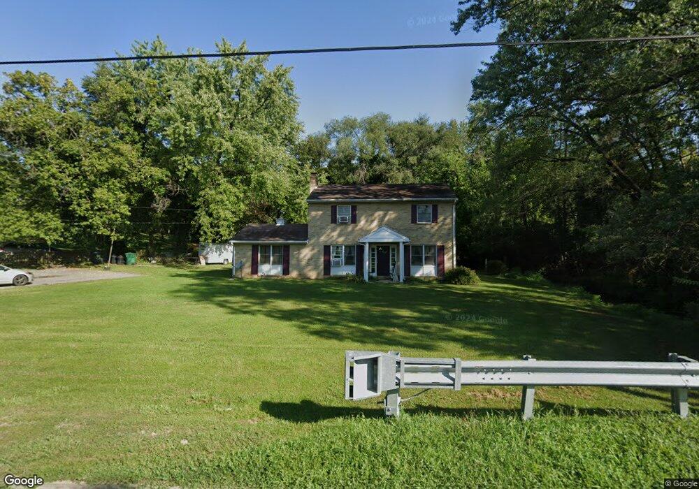
648 Security Rd Hagerstown, MD 21740
East End NeighborhoodEstimated Value: $214,305 - $293,000
Studio
1
Bath
2,068
Sq Ft
$131/Sq Ft
Est. Value
About This Home
This home is located at 648 Security Rd, Hagerstown, MD 21740 and is currently estimated at $271,076, approximately $131 per square foot. 648 Security Rd is a home located in Washington County with nearby schools including Pangborn Elementary School, Northern Middle School, and North Hagerstown High School.
Ownership History
Date
Name
Owned For
Owner Type
Purchase Details
Closed on
Apr 30, 2018
Sold by
Michele Barnhart Gennifer
Bought by
Barnhart Gennifer Michele
Current Estimated Value
Purchase Details
Closed on
Nov 6, 1997
Sold by
Young Richard L and Young Cynthia C
Bought by
Ewing Curtis R and Sue Bonnie
Create a Home Valuation Report for This Property
The Home Valuation Report is an in-depth analysis detailing your home's value as well as a comparison with similar homes in the area
Home Values in the Area
Average Home Value in this Area
Purchase History
| Date | Buyer | Sale Price | Title Company |
|---|---|---|---|
| Barnhart Gennifer Michele | $130,900 | None Listed On Document | |
| Ewing Curtis R | $105,000 | -- |
Source: Public Records
Mortgage History
| Date | Status | Borrower | Loan Amount |
|---|---|---|---|
| Closed | Ewing Curtis R | -- |
Source: Public Records
Tax History
| Year | Tax Paid | Tax Assessment Tax Assessment Total Assessment is a certain percentage of the fair market value that is determined by local assessors to be the total taxable value of land and additions on the property. | Land | Improvement |
|---|---|---|---|---|
| 2025 | $1,672 | $214,400 | $45,100 | $169,300 |
| 2024 | $1,672 | $183,567 | $0 | $0 |
| 2023 | $1,391 | $152,733 | $0 | $0 |
| 2022 | $1,110 | $121,900 | $40,500 | $81,400 |
| 2021 | $1,221 | $121,900 | $40,500 | $81,400 |
| 2020 | $1,224 | $121,900 | $40,500 | $81,400 |
| 2019 | $1,224 | $130,900 | $40,500 | $90,400 |
| 2018 | $1,587 | $130,900 | $40,500 | $90,400 |
| 2017 | $1,243 | $130,900 | $0 | $0 |
| 2016 | -- | $132,900 | $0 | $0 |
| 2015 | -- | $132,900 | $0 | $0 |
| 2014 | $2,733 | $132,900 | $0 | $0 |
Source: Public Records
Map
Nearby Homes
- 713 Medway Rd
- 747 Monet Dr
- 613 Westwood St
- 528 Jefferson St
- 761 Jefferson Blvd
- 466 Pangborn Blvd
- 946 Monet Dr
- 43 Sunbrook Ln Unit 6
- 522 N Mulberry St
- 838 Mulberry Ave
- 629 N Mulberry St
- 939 View St
- 953 View St
- 319 Sunbrook Ln Unit 98
- 109 111 Fairground Ave
- 1001 Jefferson Blvd
- 101 N Cleveland Ave
- 445 E Franklin St
- 250 Sunbrook Ln Unit 132
- 35 N Cleveland Ave
- 640 Security Rd
- 655 Security Rd
- 701 Security Rd
- 645 Security Rd
- 417 Brookline Ave
- 420 Brookline Ave
- 639 Security Rd
- 705 Security Rd
- 716 Security Rd
- 722 Security Rd
- 412 Brookline Ave
- 633 Security Rd
- 401 Brookline Ave
- 406 Brookline Ave
- 636 Medway Rd
- 711 Park Rd
- 632 Medway Rd
- 727 Security Rd
- 630 Medway Rd
- 704 Medway Rd
Your Personal Tour Guide
Ask me questions while you tour the home.