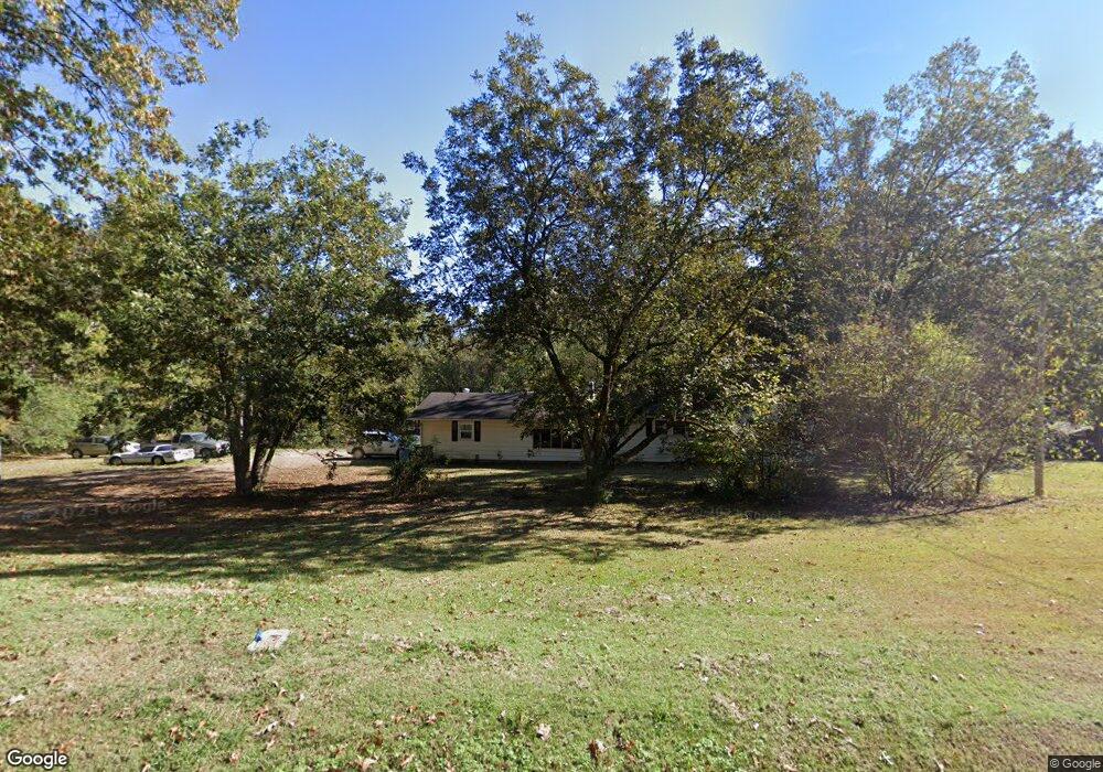
648 Sfc 311 Forrest City, AR 72335
Estimated Value: $156,000 - $170,000
--
Bed
2
Baths
2,392
Sq Ft
$68/Sq Ft
Est. Value
About This Home
This home is located at 648 Sfc 311, Forrest City, AR 72335 and is currently estimated at $163,667, approximately $68 per square foot. 648 Sfc 311 is a home located in St. Francis County with nearby schools including Central Elementary School, Stewart Elementary School, and Forrest City Junior High School.
Ownership History
Date
Name
Owned For
Owner Type
Purchase Details
Closed on
Dec 22, 2021
Sold by
Varner James C
Bought by
Woodard Dorimell D and Jones Glenda Faye
Current Estimated Value
Purchase Details
Closed on
Nov 1, 1987
Bought by
Varner
Purchase Details
Closed on
Jun 1, 1985
Bought by
Kyle
Create a Home Valuation Report for This Property
The Home Valuation Report is an in-depth analysis detailing your home's value as well as a comparison with similar homes in the area
Home Values in the Area
Average Home Value in this Area
Purchase History
| Date | Buyer | Sale Price | Title Company |
|---|---|---|---|
| Woodard Dorimell D | $40,000 | None Listed On Document | |
| Varner | $27,000 | -- | |
| Kyle | $27,000 | -- |
Source: Public Records
Tax History Compared to Growth
Tax History
| Year | Tax Paid | Tax Assessment Tax Assessment Total Assessment is a certain percentage of the fair market value that is determined by local assessors to be the total taxable value of land and additions on the property. | Land | Improvement |
|---|---|---|---|---|
| 2024 | $502 | $16,450 | $1,500 | $14,950 |
| 2023 | $502 | $16,450 | $1,500 | $14,950 |
| 2022 | $115 | $16,450 | $1,500 | $14,950 |
| 2021 | $115 | $13,270 | $1,280 | $11,990 |
| 2020 | $115 | $13,270 | $1,280 | $11,990 |
| 2019 | $127 | $13,270 | $1,280 | $11,990 |
| 2018 | $152 | $13,270 | $1,280 | $11,990 |
| 2017 | $502 | $13,270 | $1,280 | $11,990 |
| 2016 | $502 | $12,620 | $1,510 | $11,110 |
| 2015 | $502 | $12,620 | $1,510 | $11,110 |
| 2014 | $502 | $12,620 | $1,510 | $11,110 |
Source: Public Records
Map
Nearby Homes
- 533 Sfc 311
- 192 Sfc 322
- 802 Sfc 328
- 30+\- Acres Sfc 328
- 481 Sfc 333
- 0 N Washington St
- 4.59 Acres N Washington St
- 361 Yorktown Dr
- 917 Calvert Cove
- 220 Lexington Dr
- 308 Trenton Rd
- 0 Good Hope Rd
- 1255 Chestnut St
- 211 Woods Rd
- 423 Laughrun Dr
- 319 Mississippi St
- 424 Beech Grove Dr
- 1216 N Izard St
- 717 Laughrun Dr
- 1108 N Izard St