6480 Maple Grove Rd Martinsville, IN 46151
Estimated Value: $332,943 - $389,000
2
Beds
2
Baths
1,983
Sq Ft
$179/Sq Ft
Est. Value
About This Home
This home is located at 6480 Maple Grove Rd, Martinsville, IN 46151 and is currently estimated at $353,986, approximately $178 per square foot. 6480 Maple Grove Rd is a home located in Morgan County with nearby schools including Martinsville High School.
Ownership History
Date
Name
Owned For
Owner Type
Purchase Details
Closed on
Nov 9, 2012
Sold by
Libby L Arnold Revocable Living Trust
Bought by
Thompson Jason R and Thompson Robyn L
Current Estimated Value
Home Financials for this Owner
Home Financials are based on the most recent Mortgage that was taken out on this home.
Original Mortgage
$100,000
Outstanding Balance
$17,741
Interest Rate
3.37%
Mortgage Type
New Conventional
Estimated Equity
$336,245
Create a Home Valuation Report for This Property
The Home Valuation Report is an in-depth analysis detailing your home's value as well as a comparison with similar homes in the area
Home Values in the Area
Average Home Value in this Area
Purchase History
| Date | Buyer | Sale Price | Title Company |
|---|---|---|---|
| Thompson Jason R | -- | None Available |
Source: Public Records
Mortgage History
| Date | Status | Borrower | Loan Amount |
|---|---|---|---|
| Open | Thompson Jason R | $100,000 |
Source: Public Records
Tax History Compared to Growth
Tax History
| Year | Tax Paid | Tax Assessment Tax Assessment Total Assessment is a certain percentage of the fair market value that is determined by local assessors to be the total taxable value of land and additions on the property. | Land | Improvement |
|---|---|---|---|---|
| 2024 | $1,245 | $251,300 | $66,600 | $184,700 |
| 2023 | $1,178 | $251,300 | $66,600 | $184,700 |
| 2022 | $1,557 | $254,800 | $66,500 | $188,300 |
| 2021 | $766 | $193,500 | $35,500 | $158,000 |
| 2020 | $710 | $188,800 | $35,500 | $153,300 |
| 2019 | $643 | $165,600 | $35,500 | $130,100 |
| 2018 | $590 | $159,600 | $35,500 | $124,100 |
| 2017 | $551 | $153,200 | $35,500 | $117,700 |
| 2016 | $547 | $148,100 | $30,400 | $117,700 |
| 2014 | $433 | $142,400 | $30,400 | $112,000 |
| 2013 | $433 | $142,400 | $30,400 | $112,000 |
Source: Public Records
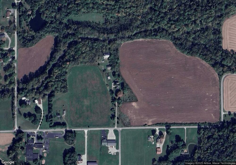
Map
Nearby Homes
- TBD Maple Grove Rd
- 8205 Mcwhorter Rd
- 4360 Williams Rd
- 1156 Cope Rd
- 0 Old Moore Rd
- 4385 Cragen Rd
- 8405 Mcwhorter Rd
- 8385 Mcwhorter Rd
- 583 Old Moore Ln
- 0 Skunk Hollow Rd
- Tract 3 Skunk Hollow Rd
- Tract 2 Skunk Hollow Rd
- 8000 New Harmony Rd
- 600 Old Moore Rd
- 7158 New Harmony Rd
- 901 Carter Rd
- 7975 New Harmony Rd
- 4418 E Centennial Crest Dr
- 8577 State Road 44
- 5020 Cragen Rd
- 6400 Maple Grove Rd
- 6601 Maple Grove Rd
- 6280 Maple Grove Rd
- 6705 Maple Grove Rd
- 2515 Fire Station Rd
- 2525 Fire Station Rd
- 2530 Fire Station Rd
- 2535 Fire Station Rd
- 2336 Wampler Rd
- 5841 Volunteer Ln
- 2532 Fire Station Rd
- 5851 Volunteer Ln
- 2547 Fire Station Rd
- 5839 Volunteer Ln
- 2300 Wampler Rd
- 2536 Fire Station Rd
- 5857 Volunteer Ln
- 6725 Maple Grove Rd
- 2539 Fire Station Rd
- 5861 Volunteer Ln