6481 W Stoll Rd Lansing, MI 48906
Estimated Value: $201,320 - $399,000
4
Beds
1
Bath
1,612
Sq Ft
$182/Sq Ft
Est. Value
About This Home
This home is located at 6481 W Stoll Rd, Lansing, MI 48906 and is currently estimated at $292,830, approximately $181 per square foot. 6481 W Stoll Rd is a home located in Clinton County with nearby schools including Wacousta Elementary School, Leon W. Hayes Middle School, and Grand Ledge High School.
Ownership History
Date
Name
Owned For
Owner Type
Purchase Details
Closed on
Aug 7, 2025
Sold by
Arbour Marlene Marie
Bought by
Arbour Marlene Marie and Arbour Gregory Joseph
Current Estimated Value
Purchase Details
Closed on
Apr 26, 2011
Sold by
Zischke Marjorie Elizabeth
Bought by
Arbour David James and Arbour Marlene Marie
Purchase Details
Closed on
Feb 9, 2010
Sold by
Zischke Cortney M
Bought by
Zischke Bryan L
Purchase Details
Closed on
Jun 18, 2009
Sold by
Zischke Marjorie E
Bought by
Zischke Bryan L and Zischke Cortney N
Create a Home Valuation Report for This Property
The Home Valuation Report is an in-depth analysis detailing your home's value as well as a comparison with similar homes in the area
Home Values in the Area
Average Home Value in this Area
Purchase History
| Date | Buyer | Sale Price | Title Company |
|---|---|---|---|
| Arbour Marlene Marie | -- | None Listed On Document | |
| Arbour David James | -- | None Available | |
| Zischke Bryan L | -- | None Available | |
| Zischke Bryan L | -- | None Available |
Source: Public Records
Tax History
| Year | Tax Paid | Tax Assessment Tax Assessment Total Assessment is a certain percentage of the fair market value that is determined by local assessors to be the total taxable value of land and additions on the property. | Land | Improvement |
|---|---|---|---|---|
| 2025 | $1,765 | $72,750 | $25,900 | $46,850 |
| 2024 | $6 | $67,300 | $23,550 | $43,750 |
| 2023 | $560 | $59,300 | $0 | $0 |
| 2022 | $1,559 | $54,400 | $18,700 | $35,700 |
| 2021 | $1,514 | $52,750 | $18,750 | $34,000 |
| 2020 | $1,405 | $49,350 | $17,650 | $31,700 |
| 2019 | $1,353 | $45,800 | $16,650 | $29,150 |
| 2018 | $1,253 | $45,100 | $15,750 | $29,350 |
| 2017 | $1,226 | $44,850 | $15,600 | $29,250 |
| 2016 | $1,226 | $43,350 | $14,700 | $28,650 |
| 2015 | $1,243 | $39,900 | $0 | $0 |
| 2011 | -- | $43,050 | $0 | $0 |
Source: Public Records
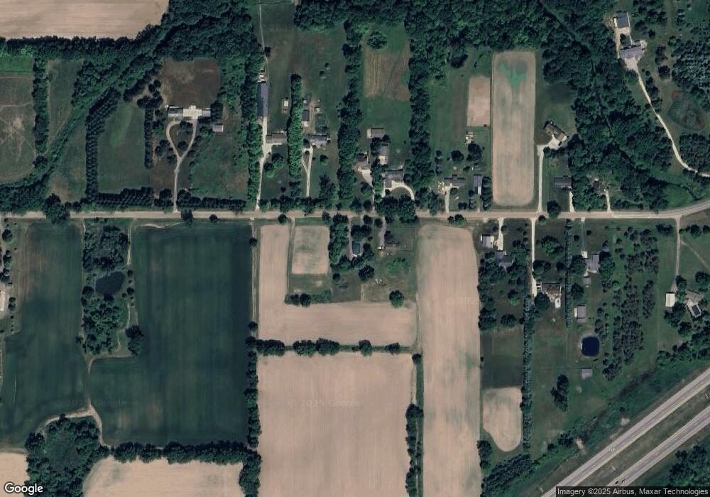
Map
Nearby Homes
- 6157 W Stoll Rd
- 7837 W Grand
- V/L N Grove
- 15260 Nottingham Fields Pkwy
- 16831 Steiner Way
- 15195 Nottingham Fields Pkwy
- 15332 Sherwood Ln
- 15312 Sherwood Ln
- 15317 Sherwood Ln
- 15277 Sherwood Ln
- 7713 Jon Scott Dr
- 6945 Delta River Dr
- Lot 3a Rachael Fairfax Dr
- Lot 1a Rachael Fairfax Dr
- 3204 Trillium Dr
- 5754 River Ridge Dr
- 3522 Ramsgate Dr
- 6403 Willow Bend Dr
- 00 Driftwood Dr
- 0 Driftwood Dr
- 6455 W Stoll Rd
- 6450 W Stoll Rd
- 6480 W Stoll Rd
- 6400 W Stoll Rd
- 6502 W Stoll Rd
- 6526 W Stoll Rd
- 6335 W Stoll Rd
- 6299 W Stoll Rd
- 6246 W Stoll Rd
- 6576 W Stoll Rd
- 6260 W Stoll Rd
- 6225 W Stoll Rd
- 7380 W Stoll Rd
- 7207 W Stoll Rd
- 7345 W Stoll Rd
- 7125 W Stoll Rd
- 7105 W Stoll Rd
- 6114 W Stoll Rd
- 6601 W Stoll Rd
Your Personal Tour Guide
Ask me questions while you tour the home.