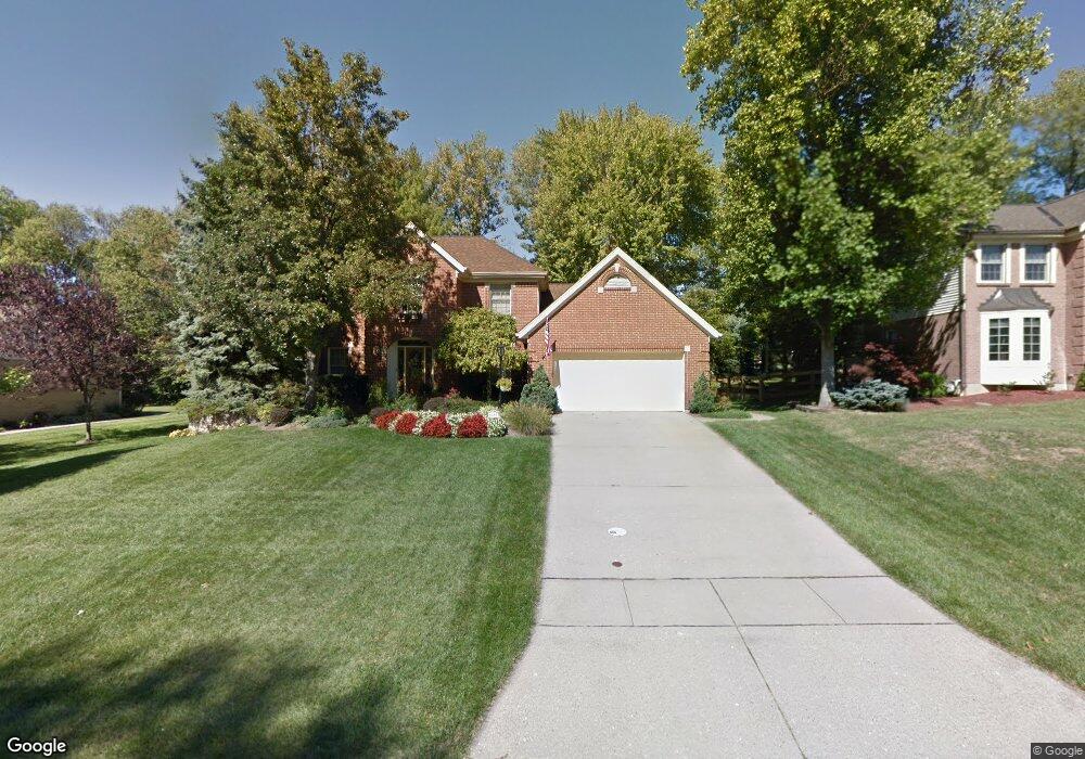
6482 Mapleton Ave Cincinnati, OH 45233
Cotillion Village NeighborhoodEstimated Value: $445,690 - $487,000
4
Beds
3
Baths
2,948
Sq Ft
$160/Sq Ft
Est. Value
About This Home
This home is located at 6482 Mapleton Ave, Cincinnati, OH 45233 and is currently estimated at $471,923, approximately $160 per square foot. 6482 Mapleton Ave is a home located in Hamilton County with nearby schools including John Foster Dulles Elementary School, Rapid Run Middle School, and Oak Hills High School.
Ownership History
Date
Name
Owned For
Owner Type
Purchase Details
Closed on
Nov 15, 2002
Sold by
Bender Joseph W and Bender Dianne R
Bought by
Roddy Terrence W and Roddy Joan A
Current Estimated Value
Home Financials for this Owner
Home Financials are based on the most recent Mortgage that was taken out on this home.
Original Mortgage
$199,200
Interest Rate
6.1%
Create a Home Valuation Report for This Property
The Home Valuation Report is an in-depth analysis detailing your home's value as well as a comparison with similar homes in the area
Home Values in the Area
Average Home Value in this Area
Purchase History
| Date | Buyer | Sale Price | Title Company |
|---|---|---|---|
| Roddy Terrence W | $249,000 | Vintage Title Agency Inc |
Source: Public Records
Mortgage History
| Date | Status | Borrower | Loan Amount |
|---|---|---|---|
| Closed | Roddy Terrence W | $199,200 |
Source: Public Records
Tax History
| Year | Tax Paid | Tax Assessment Tax Assessment Total Assessment is a certain percentage of the fair market value that is determined by local assessors to be the total taxable value of land and additions on the property. | Land | Improvement |
|---|---|---|---|---|
| 2025 | $8,104 | $136,535 | $19,334 | $117,201 |
| 2024 | $7,905 | $136,535 | $19,334 | $117,201 |
| 2023 | $7,929 | $136,535 | $19,334 | $117,201 |
| 2022 | $6,320 | $96,761 | $22,162 | $74,599 |
| 2021 | $6,189 | $96,761 | $22,162 | $74,599 |
| 2020 | $6,277 | $96,761 | $22,162 | $74,599 |
| 2019 | $6,779 | $93,944 | $21,518 | $72,426 |
| 2018 | $6,786 | $93,944 | $21,518 | $72,426 |
| 2017 | $6,125 | $93,944 | $21,518 | $72,426 |
| 2016 | $5,752 | $88,369 | $19,674 | $68,695 |
| 2015 | $5,758 | $88,369 | $19,674 | $68,695 |
| 2014 | $5,765 | $88,369 | $19,674 | $68,695 |
| 2013 | $5,373 | $87,494 | $19,478 | $68,016 |
Source: Public Records
Map
Nearby Homes
- 6278 Gardenlake Ct
- 665 Fox Trails Way
- 1259 Wexford Ln
- 1287 Heather Ridge
- 6009 Cleves Warsaw Pike
- 1659 Devils Backbone Rd
- 1711 Ebenezer Rd
- 5949 Cleves Warsaw Pike
- 2239 Quail Run Farm Ln
- 133 Meridian St
- 6721 Hillside Ave
- 6723 Daniels Walk
- 524 Trison Dr
- 2417 Quail Run Farm Ln
- 5789 Juvene Way
- 712 Libbejo Dr
- 5320 Hillside Ave
- 5318 Hillside Ave
- 571 Libbejo Dr
- 837 Neeb Rd
- 6474 Mapleton Ave
- 6488 Mapleton Ave
- 6489 Simon Dr
- 6501 Simon Dr
- 6466 Mapleton Ave
- 6510 Mapleton Ave
- 6477 Simon Dr
- 6483 Mapleton Ave
- 6489 Mapleton Ave
- 6513 Simon Dr
- 31 Sally Ct
- 13 Sally Ct
- 30 Sally Ct
- 6522 Mapleton Ave
- 6465 Simon Dr
- 6465 Mapleton Ave
- 6450 Mapleton Ave
- 6509 Mapleton Ave
- 6496 Simon Dr
- 6521 Mapleton Ave
Your Personal Tour Guide
Ask me questions while you tour the home.