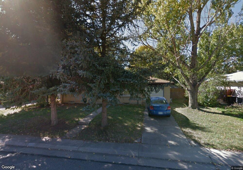
6483 Kendall St Arvada, CO 80003
Lamar Heights NeighborhoodEstimated Value: $539,000 - $602,000
3
Beds
3
Baths
1,250
Sq Ft
$448/Sq Ft
Est. Value
About This Home
This home is located at 6483 Kendall St, Arvada, CO 80003 and is currently estimated at $560,605, approximately $448 per square foot. 6483 Kendall St is a home located in Jefferson County with nearby schools including Swanson Elementary School, North Arvada Middle School, and Arvada High School.
Ownership History
Date
Name
Owned For
Owner Type
Purchase Details
Closed on
Aug 29, 2007
Sold by
Pair Randal T
Bought by
Raymond Grant B and Raymond Stacey N
Current Estimated Value
Home Financials for this Owner
Home Financials are based on the most recent Mortgage that was taken out on this home.
Original Mortgage
$173,900
Outstanding Balance
$110,608
Interest Rate
6.66%
Mortgage Type
New Conventional
Estimated Equity
$449,997
Purchase Details
Closed on
Dec 21, 1998
Sold by
Cross H L and Cross Lisa A
Bought by
Pair Randal T
Home Financials for this Owner
Home Financials are based on the most recent Mortgage that was taken out on this home.
Original Mortgage
$123,950
Interest Rate
6.92%
Purchase Details
Closed on
May 8, 1998
Sold by
Gonzales Lisa A
Bought by
Cross H L and Cross Lisa A
Home Financials for this Owner
Home Financials are based on the most recent Mortgage that was taken out on this home.
Original Mortgage
$115,200
Interest Rate
11.25%
Purchase Details
Closed on
Apr 29, 1994
Sold by
Semerenko Jeanette E
Bought by
Gonzales Lisa A
Home Financials for this Owner
Home Financials are based on the most recent Mortgage that was taken out on this home.
Original Mortgage
$87,474
Interest Rate
7.76%
Mortgage Type
FHA
Create a Home Valuation Report for This Property
The Home Valuation Report is an in-depth analysis detailing your home's value as well as a comparison with similar homes in the area
Home Values in the Area
Average Home Value in this Area
Purchase History
| Date | Buyer | Sale Price | Title Company |
|---|---|---|---|
| Raymond Grant B | $173,900 | Guardian Title Agency Llc | |
| Pair Randal T | $130,500 | -- | |
| Cross H L | -- | -- | |
| Gonzales Lisa A | $88,000 | Land Title |
Source: Public Records
Mortgage History
| Date | Status | Borrower | Loan Amount |
|---|---|---|---|
| Open | Raymond Grant B | $173,900 | |
| Previous Owner | Pair Randal T | $123,950 | |
| Previous Owner | Cross H L | $115,200 | |
| Previous Owner | Gonzales Lisa A | $87,474 |
Source: Public Records
Tax History Compared to Growth
Tax History
| Year | Tax Paid | Tax Assessment Tax Assessment Total Assessment is a certain percentage of the fair market value that is determined by local assessors to be the total taxable value of land and additions on the property. | Land | Improvement |
|---|---|---|---|---|
| 2024 | $3,139 | $32,360 | $14,574 | $17,786 |
| 2023 | $3,139 | $32,360 | $14,574 | $17,786 |
| 2022 | $2,620 | $26,756 | $12,530 | $14,226 |
| 2021 | $2,664 | $27,526 | $12,891 | $14,635 |
| 2020 | $2,443 | $25,320 | $8,458 | $16,862 |
| 2019 | $2,410 | $25,320 | $8,458 | $16,862 |
| 2018 | $2,085 | $21,298 | $5,713 | $15,585 |
| 2017 | $1,909 | $21,298 | $5,713 | $15,585 |
| 2016 | $1,757 | $18,461 | $5,645 | $12,816 |
| 2015 | $1,473 | $18,461 | $5,645 | $12,816 |
| 2014 | $1,473 | $14,551 | $4,872 | $9,679 |
Source: Public Records
Map
Nearby Homes