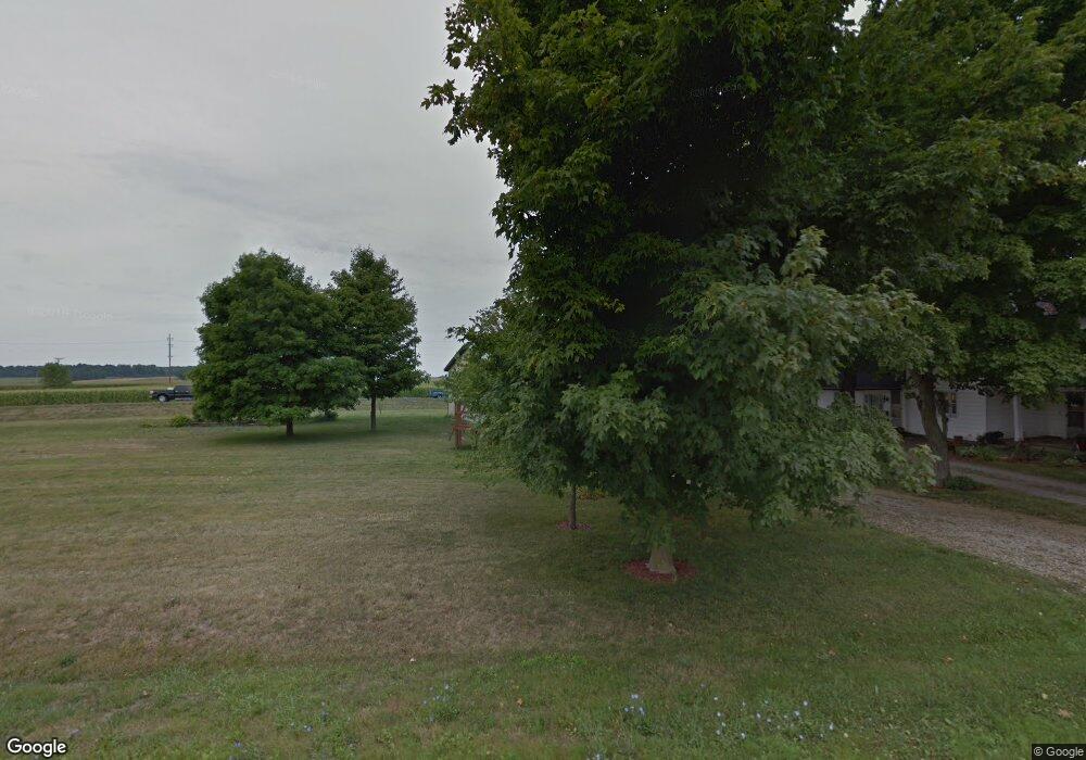
6484 Funk Rd Urbana, OH 43078
Estimated Value: $217,000 - $308,000
1
Bed
2
Baths
2,084
Sq Ft
$120/Sq Ft
Est. Value
About This Home
This home is located at 6484 Funk Rd, Urbana, OH 43078 and is currently estimated at $250,370, approximately $120 per square foot. 6484 Funk Rd is a home located in Champaign County with nearby schools including West Liberty-Salem Elementary School and West Liberty-Salem Middle/High School.
Ownership History
Date
Name
Owned For
Owner Type
Purchase Details
Closed on
Nov 8, 2010
Sold by
Marcum Yvonne J and Estate Of Michael E Wuest
Bought by
Neer Patrick P and Neer Michelle M
Current Estimated Value
Home Financials for this Owner
Home Financials are based on the most recent Mortgage that was taken out on this home.
Original Mortgage
$59,067
Outstanding Balance
$39,051
Interest Rate
4.31%
Mortgage Type
New Conventional
Estimated Equity
$211,319
Create a Home Valuation Report for This Property
The Home Valuation Report is an in-depth analysis detailing your home's value as well as a comparison with similar homes in the area
Home Values in the Area
Average Home Value in this Area
Purchase History
| Date | Buyer | Sale Price | Title Company |
|---|---|---|---|
| Neer Patrick P | $53,000 | Republic Title Agency Inc |
Source: Public Records
Mortgage History
| Date | Status | Borrower | Loan Amount |
|---|---|---|---|
| Open | Neer Patrick P | $59,067 |
Source: Public Records
Tax History Compared to Growth
Tax History
| Year | Tax Paid | Tax Assessment Tax Assessment Total Assessment is a certain percentage of the fair market value that is determined by local assessors to be the total taxable value of land and additions on the property. | Land | Improvement |
|---|---|---|---|---|
| 2024 | $2,129 | $56,270 | $11,910 | $44,360 |
| 2023 | $2,129 | $56,270 | $11,910 | $44,360 |
| 2022 | $2,136 | $56,270 | $11,910 | $44,360 |
| 2021 | $1,827 | $45,020 | $9,530 | $35,490 |
| 2020 | $1,827 | $45,020 | $9,530 | $35,490 |
| 2019 | $1,805 | $45,020 | $9,530 | $35,490 |
| 2018 | $1,449 | $36,600 | $8,830 | $27,770 |
| 2017 | $1,429 | $36,600 | $8,830 | $27,770 |
| 2016 | $1,386 | $36,600 | $8,830 | $27,770 |
| 2015 | $1,264 | $35,460 | $8,830 | $26,630 |
| 2014 | $1,266 | $35,460 | $8,830 | $26,630 |
| 2013 | $1,254 | $33,510 | $8,830 | $24,680 |
Source: Public Records
Map
Nearby Homes
- 4416 N US Highway 68
- 7885 N Ludlow Rd
- 1010 W Herr Rd
- 1324 Kennard Kingscreek Rd
- 619 W Baird St
- 215 N Detroit St
- 116 E Newell St
- 0 Ohio 296
- 0 N Ludlow Rd
- Lot 2 N Ludlow Rd
- 512 W Columbus St
- 308 Reynolds St
- 414 N Detroit St
- 0 County Road 189
- . Co Rd 189
- Lot 1 County Road 1
- 2889 E State Route 296
- 5714 Hickory Dr
- 1450 Grimes Cir
- 6295 N Us Highway 68
- 6688 Funk Rd
- 6641 W Kanagy Rd
- 6784 Funk Rd
- 6723 Us Highway 68 N
- 6131 N U S 68
- 6131 N Us Highway 68
- 6654 W Kanagy Rd
- 6374 N Us Highway 68
- 6374 N Us Highway 68
- 6710 W Kanagy Rd
- 6745 W Kanagy Rd
- 6740 W Kanagy Rd
- 6751 W Kanagy Rd
- 6760 W Kanagy Rd
- 6080 N Us Highway 68
- 6015 N Us Highway 68
- 6780 W Kanagy Rd
- 6795 W Kanagy Rd
- 6800 W Kanagy Rd