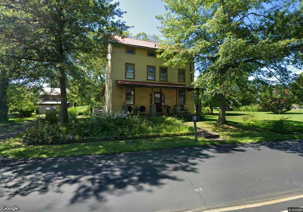
6486 Durham Rd Pipersville, PA 18947
Estimated Value: $459,749 - $678,000
4
Beds
1
Bath
1,891
Sq Ft
$284/Sq Ft
Est. Value
About This Home
This home is located at 6486 Durham Rd, Pipersville, PA 18947 and is currently estimated at $536,937, approximately $283 per square foot. 6486 Durham Rd is a home located in Bucks County with nearby schools including Pennridge High School and Plumstead Christian School.
Ownership History
Date
Name
Owned For
Owner Type
Purchase Details
Closed on
Aug 28, 2014
Sold by
Hickey John J and Hickey Lisa
Bought by
Piperlands Properties Lp
Current Estimated Value
Purchase Details
Closed on
Mar 24, 1999
Sold by
Baker Richard D and Cartwright Christine
Bought by
Baker Richard D and Cartwright Christine
Home Financials for this Owner
Home Financials are based on the most recent Mortgage that was taken out on this home.
Original Mortgage
$107,200
Interest Rate
6.78%
Purchase Details
Closed on
Apr 20, 1995
Sold by
Baker Richard D and Garner Julie A
Bought by
Baker Richard D
Home Financials for this Owner
Home Financials are based on the most recent Mortgage that was taken out on this home.
Original Mortgage
$107,105
Interest Rate
8.55%
Create a Home Valuation Report for This Property
The Home Valuation Report is an in-depth analysis detailing your home's value as well as a comparison with similar homes in the area
Home Values in the Area
Average Home Value in this Area
Purchase History
| Date | Buyer | Sale Price | Title Company |
|---|---|---|---|
| Piperlands Properties Lp | $262,500 | None Available | |
| Baker Richard D | -- | -- | |
| Baker Richard D | $60,500 | -- |
Source: Public Records
Mortgage History
| Date | Status | Borrower | Loan Amount |
|---|---|---|---|
| Previous Owner | Baker Richard D | $107,200 | |
| Previous Owner | Baker Richard D | $107,105 | |
| Closed | Baker Richard D | $6,894 |
Source: Public Records
Tax History Compared to Growth
Tax History
| Year | Tax Paid | Tax Assessment Tax Assessment Total Assessment is a certain percentage of the fair market value that is determined by local assessors to be the total taxable value of land and additions on the property. | Land | Improvement |
|---|---|---|---|---|
| 2025 | $3,200 | $18,800 | $4,640 | $14,160 |
| 2024 | $3,200 | $18,800 | $4,640 | $14,160 |
| 2023 | $3,162 | $18,800 | $4,640 | $14,160 |
| 2022 | $3,162 | $18,800 | $4,640 | $14,160 |
| 2021 | $3,162 | $18,800 | $4,640 | $14,160 |
| 2020 | $3,162 | $18,800 | $4,640 | $14,160 |
| 2019 | $395 | $18,800 | $4,640 | $14,160 |
| 2018 | $3,143 | $18,800 | $4,640 | $14,160 |
| 2017 | $3,120 | $18,800 | $4,640 | $14,160 |
| 2016 | $3,120 | $18,800 | $4,640 | $14,160 |
| 2015 | -- | $18,800 | $4,640 | $14,160 |
| 2014 | -- | $18,800 | $4,640 | $14,160 |
Source: Public Records
Map
Nearby Homes
- 7078 Easton Rd
- 6398 Durham Rd
- 0 Old Easton Rd Unit PABU2095398
- 22 Gruver Rd
- 3183 Bedminster Rd
- 0 Hollow Horn Rd
- 5403 Stump Rd
- 0 Old Durham Rd
- 6469 Groveland Rd
- 5529 Geddes Way
- 5895 Rodgers Rd
- Lot 1 Groveland Rd
- 343 E Dark Hollow Rd
- 77 Frankenfield Rd
- 5382 Wismer Rd
- 567 Kellers Church Rd
- 547 Kellers Church Rd
- 5068 Kratz Carriage Rd
- 4811 Lincoln Aly
- 174 Smithtown Rd
- 6482 Durham Rd
- 7136 Durham Rd
- 7113 Durham Rd
- 6485 Durham Rd
- 6946 Old Easton Rd
- 2 Dark Hollow Rd
- 6475 Durham Rd
- 7107 Old Easton Rd
- 7110 Old Easton Rd
- 6470 Durham Rd
- 7112 Old Easton Rd
- 7113 Old Easton Rd
- 6913 Old Easton Rd
- 7111 Old Easton Rd
- 6926 Old Easton Rd
- 7117 Old Easton Rd
- 19 Dark Hollow Rd
- 7120 Old Easton Rd
- 24 Dark Hollow Rd
- 7051 Easton Rd