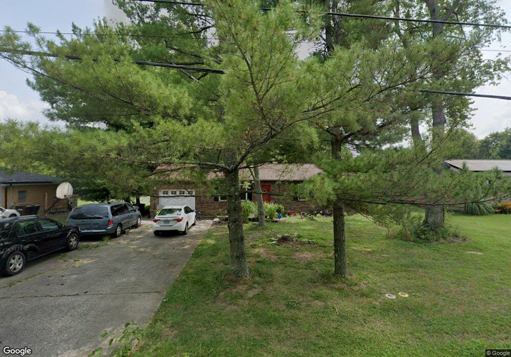
6486 Smith Rd Loveland, OH 45140
Estimated Value: $247,000 - $305,000
3
Beds
1
Bath
1,204
Sq Ft
$235/Sq Ft
Est. Value
About This Home
This home is located at 6486 Smith Rd, Loveland, OH 45140 and is currently estimated at $282,983, approximately $235 per square foot. 6486 Smith Rd is a home located in Clermont County with nearby schools including Marr/Cook Elementary School, Spaulding Elementary School, and Goshen Middle School.
Ownership History
Date
Name
Owned For
Owner Type
Purchase Details
Closed on
Apr 23, 2004
Sold by
Tarter James B and Tarter Kathy L
Bought by
Wilder Melissa
Current Estimated Value
Home Financials for this Owner
Home Financials are based on the most recent Mortgage that was taken out on this home.
Original Mortgage
$98,400
Outstanding Balance
$46,919
Interest Rate
5.85%
Mortgage Type
Purchase Money Mortgage
Estimated Equity
$236,064
Purchase Details
Closed on
Jul 10, 1991
Purchase Details
Closed on
Jul 1, 1987
Create a Home Valuation Report for This Property
The Home Valuation Report is an in-depth analysis detailing your home's value as well as a comparison with similar homes in the area
Home Values in the Area
Average Home Value in this Area
Purchase History
| Date | Buyer | Sale Price | Title Company |
|---|---|---|---|
| Wilder Melissa | $123,000 | -- | |
| -- | $62,000 | -- | |
| -- | $52,900 | -- |
Source: Public Records
Mortgage History
| Date | Status | Borrower | Loan Amount |
|---|---|---|---|
| Open | Wilder Melissa | $98,400 | |
| Closed | Wilder Melissa | $24,600 |
Source: Public Records
Tax History Compared to Growth
Tax History
| Year | Tax Paid | Tax Assessment Tax Assessment Total Assessment is a certain percentage of the fair market value that is determined by local assessors to be the total taxable value of land and additions on the property. | Land | Improvement |
|---|---|---|---|---|
| 2024 | $3,857 | $84,600 | $17,850 | $66,750 |
| 2023 | $3,741 | $84,600 | $17,850 | $66,750 |
| 2022 | $2,849 | $56,770 | $11,970 | $44,800 |
| 2021 | $2,866 | $56,770 | $11,970 | $44,800 |
| 2020 | $2,681 | $56,770 | $11,970 | $44,800 |
| 2019 | $2,079 | $42,250 | $14,630 | $27,620 |
| 2018 | $2,089 | $42,250 | $14,630 | $27,620 |
| 2017 | $2,091 | $42,250 | $14,630 | $27,620 |
| 2016 | $1,921 | $36,400 | $12,600 | $23,800 |
| 2015 | $1,738 | $36,400 | $12,600 | $23,800 |
| 2014 | $1,738 | $36,400 | $12,600 | $23,800 |
| 2013 | $1,693 | $36,930 | $11,340 | $25,590 |
Source: Public Records
Map
Nearby Homes
- 6467 Smith Rd
- 6395 Barre Rd
- 1376 Barre Ln
- 6108 Donna Jay Dr
- 1803 Wheatfield Way
- 1480 Fay Rd Unit 202
- 1480 Fay Rd Unit 70
- 1480 Fay Rd Unit 28
- 1480 Fay Rd Unit 216
- 1480 Fay Rd Unit Lot 104
- 1480 Fay Rd Unit 34
- 1480 Fay Rd Unit 50
- 1480 Fay Rd Unit 105
- 1480 Fay Rd Unit 191
- 1480 Fay Rd Unit 143
- 1480 Fay Rd Unit 24
- 1480 Fay Rd Unit Lot 135
- 1480 Fay Rd Unit 45
- 1480 Fay Rd Unit 6
- 1480 Fay Rd Unit 80