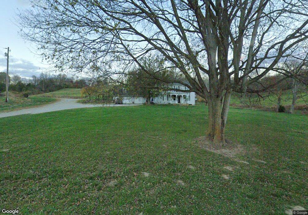
6488 State Route 41 N Bainbridge, OH 45612
Estimated Value: $78,000 - $140,000
--
Bed
1
Bath
1,192
Sq Ft
$95/Sq Ft
Est. Value
About This Home
This home is located at 6488 State Route 41 N, Bainbridge, OH 45612 and is currently estimated at $113,054, approximately $94 per square foot. 6488 State Route 41 N is a home located in Ross County with nearby schools including Paint Valley Elementary School, Paint Valley Middle School, and Paint Valley High School.
Ownership History
Date
Name
Owned For
Owner Type
Purchase Details
Closed on
Dec 13, 2021
Sold by
Benner Ronald L and Benner Joyce E
Bought by
Jackson Jack
Current Estimated Value
Home Financials for this Owner
Home Financials are based on the most recent Mortgage that was taken out on this home.
Original Mortgage
$50,000
Interest Rate
2.98%
Mortgage Type
New Conventional
Create a Home Valuation Report for This Property
The Home Valuation Report is an in-depth analysis detailing your home's value as well as a comparison with similar homes in the area
Home Values in the Area
Average Home Value in this Area
Purchase History
| Date | Buyer | Sale Price | Title Company |
|---|---|---|---|
| Jackson Jack | $68,000 | Technetitle Agency Inc |
Source: Public Records
Mortgage History
| Date | Status | Borrower | Loan Amount |
|---|---|---|---|
| Previous Owner | Jackson Jack | $50,000 |
Source: Public Records
Tax History Compared to Growth
Tax History
| Year | Tax Paid | Tax Assessment Tax Assessment Total Assessment is a certain percentage of the fair market value that is determined by local assessors to be the total taxable value of land and additions on the property. | Land | Improvement |
|---|---|---|---|---|
| 2024 | $793 | $19,520 | $3,930 | $15,590 |
| 2023 | $793 | $19,520 | $3,930 | $15,590 |
| 2022 | $796 | $19,520 | $3,930 | $15,590 |
| 2021 | $710 | $15,480 | $3,090 | $12,390 |
| 2020 | $710 | $15,480 | $3,090 | $12,390 |
| 2019 | $721 | $15,480 | $3,090 | $12,390 |
| 2018 | $594 | $12,880 | $2,680 | $10,200 |
| 2017 | $595 | $12,880 | $2,680 | $10,200 |
| 2016 | $569 | $12,880 | $2,680 | $10,200 |
| 2015 | $542 | $12,510 | $2,680 | $9,830 |
| 2014 | $515 | $12,510 | $2,680 | $9,830 |
| 2013 | $523 | $12,510 | $2,680 | $9,830 |
Source: Public Records
Map
Nearby Homes
- 213 S Benner Hill Rd
- 2470 Tong Hollow Rd
- 8818 State Route 41 N
- 301 N Maple St
- 310 W Main St
- 116 W Main St
- 116 E 3rd St
- 316 W Main St
- 1314 U S 50
- 1314 US Highway 50 W
- 217 S Quarry St
- 316 S Maple St
- 948 Mount Olive Rd
- 329 Kinzer Rd
- 0000 Mount Olive Rd
- 14703 Brier Rd
- 7885 Upper Twin Rd
- 3307 Potts Hill Rd
- 1153 Morton Rd
- 5979 Greenbriar Rd
- 6488 State Route 41 N
- 6258 State Route 41 N
- 469 Whetstone Rd
- 309 Whetstone Rd
- 6069 State Route 41 N
- 6028 State Route 41 N
- 558 Whetstone Rd
- 241 Whetstone Rd
- 228 Whetstone Rd
- 228 Whetstone Rd
- 219 Whetstone Rd
- 149 Whetstone Rd
- 139 Whetstone Rd
- 840 Whetstone Rd
- 828 Whetstone Rd Unit Tract 1
- 1330 Whetstone Rd
- 7086 State Route 41 N
- 1088 Whetstone Rd Unit Tract 3
- 1150 Whetstone Rd
- 1721 N Benner Hill Rd