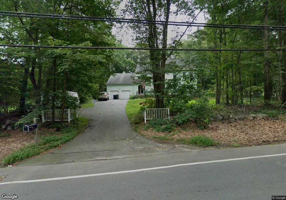
649 Concord Rd Marlborough, MA 01752
Estimated Value: $725,419 - $994,000
4
Beds
3
Baths
2,072
Sq Ft
$399/Sq Ft
Est. Value
About This Home
This home is located at 649 Concord Rd, Marlborough, MA 01752 and is currently estimated at $826,355, approximately $398 per square foot. 649 Concord Rd is a home located in Middlesex County with nearby schools including Marlborough High School, Advanced Math & Science Academy, and New Covenant Christian School.
Ownership History
Date
Name
Owned For
Owner Type
Purchase Details
Closed on
Apr 13, 2017
Sold by
Ober Robert A and Ober Marsha E
Bought by
Ober Douglas R
Current Estimated Value
Purchase Details
Closed on
May 4, 1992
Sold by
Parente Robert J and Lyons Mary A
Bought by
Ober Robert A and Ober Marsha A
Create a Home Valuation Report for This Property
The Home Valuation Report is an in-depth analysis detailing your home's value as well as a comparison with similar homes in the area
Home Values in the Area
Average Home Value in this Area
Purchase History
| Date | Buyer | Sale Price | Title Company |
|---|---|---|---|
| Ober Douglas R | -- | -- | |
| Ober Robert A | $210,000 | -- |
Source: Public Records
Mortgage History
| Date | Status | Borrower | Loan Amount |
|---|---|---|---|
| Previous Owner | Ober Robert A | $194,200 | |
| Previous Owner | Ober Robert A | $135,000 | |
| Previous Owner | Ober Robert A | $35,000 |
Source: Public Records
Tax History Compared to Growth
Tax History
| Year | Tax Paid | Tax Assessment Tax Assessment Total Assessment is a certain percentage of the fair market value that is determined by local assessors to be the total taxable value of land and additions on the property. | Land | Improvement |
|---|---|---|---|---|
| 2025 | $6,773 | $686,900 | $230,200 | $456,700 |
| 2024 | $6,538 | $638,500 | $209,300 | $429,200 |
| 2023 | $6,985 | $605,300 | $180,700 | $424,600 |
| 2022 | $6,766 | $515,700 | $172,000 | $343,700 |
| 2021 | $6,758 | $489,700 | $143,500 | $346,200 |
| 2020 | $6,636 | $468,000 | $136,600 | $331,400 |
| 2019 | $6,407 | $455,400 | $133,900 | $321,500 |
| 2018 | $6,322 | $432,100 | $116,800 | $315,300 |
| 2017 | $6,137 | $400,600 | $115,600 | $285,000 |
| 2016 | $5,935 | $386,900 | $115,600 | $271,300 |
| 2015 | $5,989 | $380,000 | $118,300 | $261,700 |
Source: Public Records
Map
Nearby Homes
- 17 Mcneil Cir
- 38 Collins Dr
- 492 Stow Rd
- 168 Blanchette Dr
- 274 Naugler Ave
- 114 Linda Cir
- 618 Sudbury St
- 256 Robert Rd
- 33A Russo Dr
- 137 Naugler Ave
- 551 Sudbury St
- 323 Robert Rd
- 3 Stonehill Rd
- 75 Kings View Rd
- 28 Stetson Dr
- 688 Boston Post Rd E Unit 202
- 688 Boston Post Rd E Unit 304
- 688 Boston Post Rd E Unit 100
- 688 Boston Post Rd E Unit 324
- 688 Boston Post Rd E Unit 228
- 641 Concord Rd
- 663 Concord Rd
- 658 Concord Rd
- 141 Raymond Rd
- 644 Concord Rd
- Lot 1B Concord Rd
- 627 Concord Rd
- Lot 1 Concord Rd
- 679 Concord Rd
- 674 Concord Rd
- 127 Raymond Rd
- 24 Mcneil Cir
- 626 Concord Rd
- 615 Concord Rd
- 686 Concord Rd
- 115 Raymond Rd
- 701 Concord Rd
- 42 Mcneil Cir
- 696 Concord Rd
- 608 Concord Rd