Estimated Value: $1,969,000 - $2,221,503
5
Beds
5
Baths
6,132
Sq Ft
$337/Sq Ft
Est. Value
About This Home
This home is located at 649 E Flint Rock Cir, Ivins, UT 84738 and is currently estimated at $2,064,168, approximately $336 per square foot. 649 E Flint Rock Cir is a home located in Washington County with nearby schools including Red Mountain School, Snow Canyon Middle School, and Lava Ridge Intermediate School.
Ownership History
Date
Name
Owned For
Owner Type
Purchase Details
Closed on
Sep 29, 2020
Sold by
Walster Shane and Walster Michelle F
Bought by
Dougherty Peter C and Dougherty Katherine K
Current Estimated Value
Purchase Details
Closed on
Sep 29, 2017
Sold by
Walster Shane
Bought by
Walster Shane and Walster Michelle F
Home Financials for this Owner
Home Financials are based on the most recent Mortgage that was taken out on this home.
Original Mortgage
$800,600
Interest Rate
3.89%
Mortgage Type
New Conventional
Purchase Details
Closed on
Feb 17, 2017
Sold by
Desert Sky Homes Llc
Bought by
Walster Shane
Purchase Details
Closed on
Feb 10, 2017
Sold by
Kingnury Developments Llc
Bought by
Desert Sky Homes Llc
Create a Home Valuation Report for This Property
The Home Valuation Report is an in-depth analysis detailing your home's value as well as a comparison with similar homes in the area
Purchase History
| Date | Buyer | Sale Price | Title Company |
|---|---|---|---|
| Dougherty Peter C | -- | None Available | |
| Walster Shane | -- | Vanguard Title Ins Agency | |
| Walster Shane | -- | Dixie Title Co | |
| Desert Sky Homes Llc | -- | Southern Utah Title |
Source: Public Records
Mortgage History
| Date | Status | Borrower | Loan Amount |
|---|---|---|---|
| Previous Owner | Walster Shane | $800,600 |
Source: Public Records
Tax History
| Year | Tax Paid | Tax Assessment Tax Assessment Total Assessment is a certain percentage of the fair market value that is determined by local assessors to be the total taxable value of land and additions on the property. | Land | Improvement |
|---|---|---|---|---|
| 2025 | $8,205 | $1,192,895 | $267,740 | $925,155 |
| 2023 | $7,775 | $1,139,325 | $261,800 | $877,525 |
| 2022 | $7,815 | $1,078,055 | $191,675 | $886,380 |
| 2021 | $7,139 | $1,463,000 | $266,000 | $1,197,000 |
| 2020 | $6,475 | $1,255,800 | $266,000 | $989,800 |
| 2019 | $6,447 | $1,222,600 | $238,000 | $984,600 |
| 2018 | $3,014 | $294,195 | $0 | $0 |
| 2017 | $2,064 | $196,000 | $0 | $0 |
| 2016 | $0 | $0 | $0 | $0 |
Source: Public Records
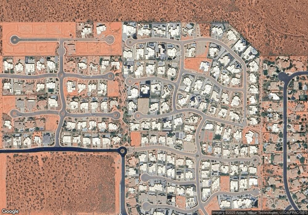
Map
Nearby Homes
- 633 E Flint Rock Cir
- 676 E Palisades Dr
- 673 Coral Autumn Ln
- 463 E Red Desert Trail
- Deacon Plan at Desert Cove
- Darius Plan at Desert Cove
- Harris Plan at Desert Cove
- Powell Plan at Desert Cove
- Pinecrest Plan at Desert Cove
- 362 N Turtle Point Dr
- 691 Crimson Flare Ln
- 93 N Painted Hills Dr
- 851 E Posado St
- 163 S 480 E
- 266 E 350 N
- 140 N Tuacahn Dr Unit 16
- 165 E 350 N
- 543 W Fox Tail Way
- 155 E 200 N
- 1312 Willow Way 1 Unit 1
- 345 E Flint Rock Way
- 341 E Flint Rock Way
- 348 E Flint Rock Way
- 661 E Flint Rock Cir
- 0 E Flint Rock Way
- 634 High Bluff Cir
- 652 E Flint Rock Cir
- 646 High Bluff Cir
- 662 E High Bluff Cir
- 636 E Flint Rock Cir
- 664 E Flint Rock Cir
- #303 E Flint Rock Way
- 618 E High Bluff Cir
- 616 E Flint Rock Cir
- 0 High Bluff Cir
- 692 E Flint Rock Way
- 699 E Flint Rock Way
- 647 E Palisades Dr
- 318 High Bluff Cir
- 663 E Palisades Dr
Your Personal Tour Guide
Ask me questions while you tour the home.