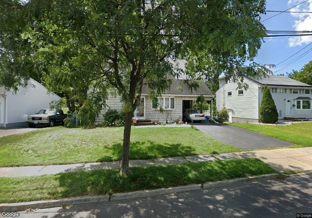
649 Hanken Rd Bound Brook, NJ 08805
Estimated Value: $423,251 - $508,000
--
Bed
--
Bath
1,380
Sq Ft
$342/Sq Ft
Est. Value
About This Home
This home is located at 649 Hanken Rd, Bound Brook, NJ 08805 and is currently estimated at $471,813, approximately $341 per square foot. 649 Hanken Rd is a home located in Somerset County with nearby schools including LaMonte Annex Elementary School, Lafayette Elementary School, and Bound Brook High School.
Ownership History
Date
Name
Owned For
Owner Type
Purchase Details
Closed on
Jun 12, 2024
Sold by
United States Of America
Bought by
State Of New Jersey Department Of Environment
Current Estimated Value
Purchase Details
Closed on
Jul 21, 2022
Sold by
Seabolt Sr George F
Bought by
Seabolt George F and Seabolt Sherri Ann
Create a Home Valuation Report for This Property
The Home Valuation Report is an in-depth analysis detailing your home's value as well as a comparison with similar homes in the area
Home Values in the Area
Average Home Value in this Area
Purchase History
| Date | Buyer | Sale Price | Title Company |
|---|---|---|---|
| State Of New Jersey Department Of Environment | -- | None Listed On Document | |
| State Of New Jersey Department Of Environment | -- | None Listed On Document | |
| Seabolt George F | -- | Stewart Michael T | |
| Seabolt George F | -- | Stewart Michael T |
Source: Public Records
Tax History Compared to Growth
Tax History
| Year | Tax Paid | Tax Assessment Tax Assessment Total Assessment is a certain percentage of the fair market value that is determined by local assessors to be the total taxable value of land and additions on the property. | Land | Improvement |
|---|---|---|---|---|
| 2025 | $8,266 | $393,200 | $250,000 | $143,200 |
| 2024 | $8,266 | $364,300 | $225,000 | $139,300 |
| 2023 | $8,041 | $341,000 | $205,000 | $136,000 |
| 2022 | $7,698 | $309,400 | $180,000 | $129,400 |
| 2021 | $7,603 | $270,200 | $145,000 | $125,200 |
| 2020 | $7,359 | $238,400 | $125,000 | $113,400 |
| 2019 | $7,167 | $221,400 | $105,000 | $116,400 |
| 2018 | $7,048 | $211,400 | $95,000 | $116,400 |
| 2017 | $6,750 | $197,900 | $85,000 | $112,900 |
| 2016 | $7,141 | $210,900 | $70,000 | $140,900 |
| 2015 | $6,450 | $194,800 | $70,000 | $124,800 |
| 2014 | $7,535 | $219,800 | $95,000 | $124,800 |
Source: Public Records
Map
Nearby Homes
- 510 Dalay Place
- 512 W 2nd St
- 641 Crescent Dr
- 601 Thompson Ave
- 542 Wheatland Ave
- 722 Lawrence Rd
- 432 Talmage Ave
- 307 W Union Ave
- 606 Vosseller Ave
- 617 Vosseller Ave
- 105 La Monte Ave
- 301 Stratford Place
- 504 Stratford Place
- 40 van Keuren Ave Unit 42
- 130 W High St Unit 132
- 34 van Keuren Ave Unit 38
- 143 Vosseller Ave
- 126 W High St
- 102 W Franklin St
- 520 Winsor St