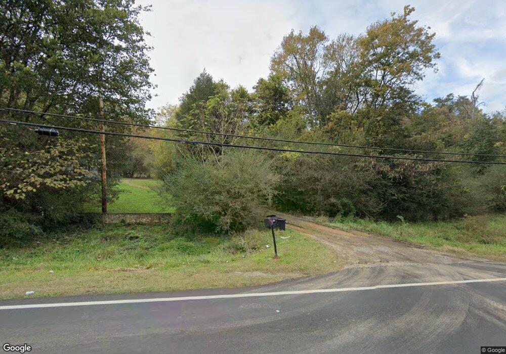
649 Mission Ridge Rd Rossville, GA 30741
Estimated Value: $224,000 - $301,945
--
Bed
1
Bath
966
Sq Ft
$271/Sq Ft
Est. Value
About This Home
This home is located at 649 Mission Ridge Rd, Rossville, GA 30741 and is currently estimated at $261,486, approximately $270 per square foot. 649 Mission Ridge Rd is a home located in Walker County with nearby schools including Cherokee Ridge Elementary School, Rossville Middle School, and Ridgeland High School.
Ownership History
Date
Name
Owned For
Owner Type
Purchase Details
Closed on
Feb 9, 2006
Sold by
Baker Johnny O
Bought by
Lassetter Johathan
Current Estimated Value
Purchase Details
Closed on
Jul 7, 2005
Sold by
Smith John Wesley
Bought by
Baker Johnny O and Baker Paula
Purchase Details
Closed on
Oct 30, 2002
Sold by
Weaver Myra B
Bought by
Smith John Wesley and Smith Catherine
Purchase Details
Closed on
Apr 25, 2000
Sold by
Weaver Myra Perkinson and Weaver Joseph
Bought by
Weaver Myra B
Purchase Details
Closed on
Dec 29, 1996
Sold by
Perkinson J E Mrs
Bought by
Weaver Myra Perkinson and Weaver Joseph
Purchase Details
Closed on
Jan 1, 1972
Bought by
Perkinson J E Mrs
Create a Home Valuation Report for This Property
The Home Valuation Report is an in-depth analysis detailing your home's value as well as a comparison with similar homes in the area
Home Values in the Area
Average Home Value in this Area
Purchase History
| Date | Buyer | Sale Price | Title Company |
|---|---|---|---|
| Lassetter Johathan | $22,500 | -- | |
| Baker Johnny O | $18,000 | -- | |
| Smith John Wesley | $70,000 | -- | |
| Weaver Myra B | -- | -- | |
| Weaver Myra Perkinson | -- | -- | |
| Perkinson J E Mrs | -- | -- |
Source: Public Records
Tax History Compared to Growth
Tax History
| Year | Tax Paid | Tax Assessment Tax Assessment Total Assessment is a certain percentage of the fair market value that is determined by local assessors to be the total taxable value of land and additions on the property. | Land | Improvement |
|---|---|---|---|---|
| 2024 | $2,608 | $115,191 | $59,400 | $55,791 |
| 2023 | $2,460 | $105,816 | $53,035 | $52,781 |
| 2022 | $2,061 | $80,429 | $35,386 | $45,043 |
| 2021 | $1,822 | $63,380 | $35,386 | $27,994 |
| 2020 | $1,735 | $57,808 | $35,386 | $22,422 |
| 2019 | $1,766 | $57,808 | $35,386 | $22,422 |
| 2018 | $1,530 | $57,808 | $35,386 | $22,422 |
| 2017 | $1,924 | $57,808 | $35,386 | $22,422 |
| 2016 | $1,545 | $57,808 | $35,386 | $22,422 |
| 2015 | $1,362 | $47,309 | $33,920 | $13,389 |
| 2014 | $1,259 | $47,309 | $33,920 | $13,389 |
| 2013 | -- | $47,308 | $33,920 | $13,388 |
Source: Public Records
Map
Nearby Homes
- 710 Mission Ridge Rd
- 1901 Eric Dr
- 30 Talley Hill Ln
- 0 Lot 1 Mission Ridge Rd
- 0 Lot 2 Mission Ridge Rd
- 61 Vista Dr
- 89 Oak Ct
- 32 Kent Dr
- 705 Scenic Dr
- 306 Dry Valley Rd
- 34 And 38 East Ave
- 3438 East Ave
- 278 Dry Valley Rd
- 880 Dry Valley Rd
- 60 Blue Bird Spur
- 18 Buck Creek Ln
- 0 Dry Valley Rd Unit 1507680
- 55 Saddlebred Way
- 105 Saddlebred Way
- Whitman Plan at The Stables
- 707 Mission Ridge Rd
- 702 Mission Ridge Rd
- 641 Mission Ridge Rd
- 700 Mission Ridge Rd
- 706 Mission Ridge Rd
- 708 Mission Ridge Rd
- 642 Mission Ridge Rd
- 2013 David Ln
- 639 Mission Ridge Rd
- 1925 Eric Dr
- 1923 Eric Dr
- 2015 David Ln
- 640 Mission Ridge Rd
- 2011 David Ln
- 2009 David Ln
- 712 Mission Ridge Rd
- 2017 David Ln
- 637 Mission Ridge Rd
- 711 Mission Ridge Rd
- 1936 Eric Dr Unit 2