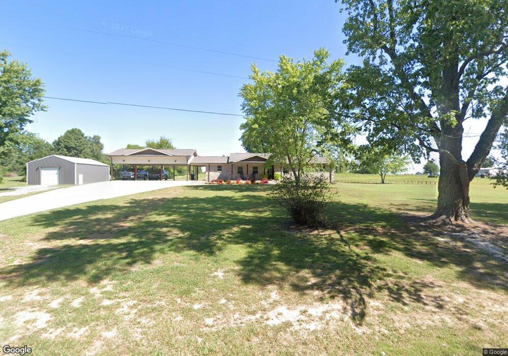
649 Pea Ridge Cir Union Grove, AL 35175
Estimated Value: $130,000 - $246,000
--
Bed
--
Bath
1,180
Sq Ft
$160/Sq Ft
Est. Value
About This Home
This home is located at 649 Pea Ridge Cir, Union Grove, AL 35175 and is currently estimated at $188,657, approximately $159 per square foot. 649 Pea Ridge Cir is a home located in Marshall County with nearby schools including Brindlee Mountain Primary School, Brindlee Mountain Elementary School, and Brindlee Mt Middle School.
Ownership History
Date
Name
Owned For
Owner Type
Purchase Details
Closed on
Sep 9, 2022
Sold by
Russell Parker Phillip
Bought by
Thomas Jason A and Thomas Brandy N
Current Estimated Value
Home Financials for this Owner
Home Financials are based on the most recent Mortgage that was taken out on this home.
Original Mortgage
$170,400
Outstanding Balance
$162,862
Interest Rate
5.3%
Mortgage Type
New Conventional
Estimated Equity
$25,795
Purchase Details
Closed on
Feb 24, 2022
Sold by
Ann Thomas Polly
Bought by
Parker Phillip Russell
Create a Home Valuation Report for This Property
The Home Valuation Report is an in-depth analysis detailing your home's value as well as a comparison with similar homes in the area
Home Values in the Area
Average Home Value in this Area
Purchase History
| Date | Buyer | Sale Price | Title Company |
|---|---|---|---|
| Thomas Jason A | $213,000 | -- | |
| Parker Phillip Russell | $162,300 | Wilmer & Lee Pa |
Source: Public Records
Mortgage History
| Date | Status | Borrower | Loan Amount |
|---|---|---|---|
| Open | Thomas Jason A | $170,400 |
Source: Public Records
Tax History Compared to Growth
Tax History
| Year | Tax Paid | Tax Assessment Tax Assessment Total Assessment is a certain percentage of the fair market value that is determined by local assessors to be the total taxable value of land and additions on the property. | Land | Improvement |
|---|---|---|---|---|
| 2024 | $20 | $6,920 | $0 | $0 |
| 2023 | $260 | $6,920 | $6,920 | $0 |
| 2022 | $703 | $18,740 | $0 | $0 |
| 2021 | $136 | $9,400 | $0 | $0 |
| 2020 | $106 | $8,420 | $0 | $0 |
| 2017 | $235 | $8,460 | $0 | $0 |
| 2015 | -- | $7,340 | $0 | $0 |
| 2014 | -- | $7,340 | $0 | $0 |
Source: Public Records
Map
Nearby Homes
- 476 Cedar Ridge Dr
- 6 Acres New Friendship Rd
- 3145 Union Grove Rd
- 187 Deer Trail
- 201 Deer Trail
- 572 McDermont Rd
- 803 Mobb Hill Rd
- 1808 Union Grove Rd
- 58 Sweet Home Rd
- 0 Thurman Rd
- 38 Hill Bluff Rd
- 83 Lions Dr
- 417 Dodd Rd
- 4357 Merrill Mountain Rd
- 247 Scant City Rd
- 3582 Friendship Rd
- 304 Riverview Dr
- 304A Riverview Dr
- 130 Stoney Mountain Dr
- 173 Brock Chapel Rd
- 649 Pea Ridge Cir
- 707 Pea Ridge Cir
- 891 Pea Ridge Cir
- 925 Pea Ridge Cir
- 949 Pea Ridge Cir
- 553 Pea Ridge Cir
- 499 Pea Ridge Cir
- 1009 Pea Ridge Cir
- 750 Pea Ridge Cir
- 500 Pea Ridge Cir
- 1220 Pea Ridge Cir
- 190 Blue Rock Rd
- 691 Parches Cove Rd
- 956 Parches Cove Rd
- 0 Pea Ridge Cir Unit 424 803704
- 0 Pea Ridge Cir Unit 667762
- 0 Pea Ridge Cir Unit 1018299
- 0 Pea Ridge Cir Unit 419561
- 702 Blue Rock Rd
- 260 Blue Rock Rd