--
Bed
--
Bath
54,262
Sq Ft
38.29
Acres
About This Home
This home is located at 649 Perry Pkwy, Perry, GA 31069. 649 Perry Pkwy is a home located in Houston County with nearby schools including Langston Road Elementary School, Perry Middle School, and Perry High School.
Ownership History
Date
Name
Owned For
Owner Type
Purchase Details
Closed on
May 19, 2004
Sold by
Main And Ball Usa Inc Etal
Bought by
Cross Point Baptist Church Inc
Purchase Details
Closed on
Oct 16, 1995
Sold by
Grimes Willie W
Bought by
Main And Ball Usa Inc Etal
Purchase Details
Closed on
Oct 2, 1990
Sold by
Land South Development Group Etal
Bought by
Grimes Willie W
Purchase Details
Closed on
Sep 22, 1989
Sold by
Civil Action #89-V-36287-N
Bought by
Land South Development Group Etal
Purchase Details
Closed on
Aug 15, 1988
Sold by
Grimes Willie W
Bought by
Land South Development Group Etal
Create a Home Valuation Report for This Property
The Home Valuation Report is an in-depth analysis detailing your home's value as well as a comparison with similar homes in the area
Home Values in the Area
Average Home Value in this Area
Purchase History
| Date | Buyer | Sale Price | Title Company |
|---|---|---|---|
| Cross Point Baptist Church Inc | -- | -- | |
| Main And Ball Usa Inc Etal | $135,000 | -- | |
| Grimes Willie W | -- | -- | |
| Land South Development Group Etal | -- | -- | |
| Land South Development Group Etal | -- | -- |
Source: Public Records
Tax History Compared to Growth
Tax History
| Year | Tax Paid | Tax Assessment Tax Assessment Total Assessment is a certain percentage of the fair market value that is determined by local assessors to be the total taxable value of land and additions on the property. | Land | Improvement |
|---|---|---|---|---|
| 2024 | -- | $2,520,160 | $505,400 | $2,014,760 |
| 2023 | $93,341 | $2,520,160 | $505,400 | $2,014,760 |
| 2022 | $93,341 | $2,523,200 | $508,440 | $2,014,760 |
| 2021 | $92,491 | $2,477,000 | $462,240 | $2,014,760 |
| 2020 | $92,491 | $2,477,000 | $462,240 | $2,014,760 |
| 2019 | $92,491 | $2,477,000 | $462,240 | $2,014,760 |
| 2018 | $0 | $2,477,000 | $462,240 | $2,014,760 |
| 2017 | $0 | $2,477,000 | $462,240 | $2,014,760 |
| 2016 | $17,260 | $2,477,000 | $462,240 | $2,014,760 |
| 2015 | -- | $2,477,000 | $462,240 | $2,014,760 |
| 2014 | -- | $2,477,000 | $462,240 | $2,014,760 |
| 2013 | -- | $2,477,000 | $462,240 | $2,014,760 |
Source: Public Records
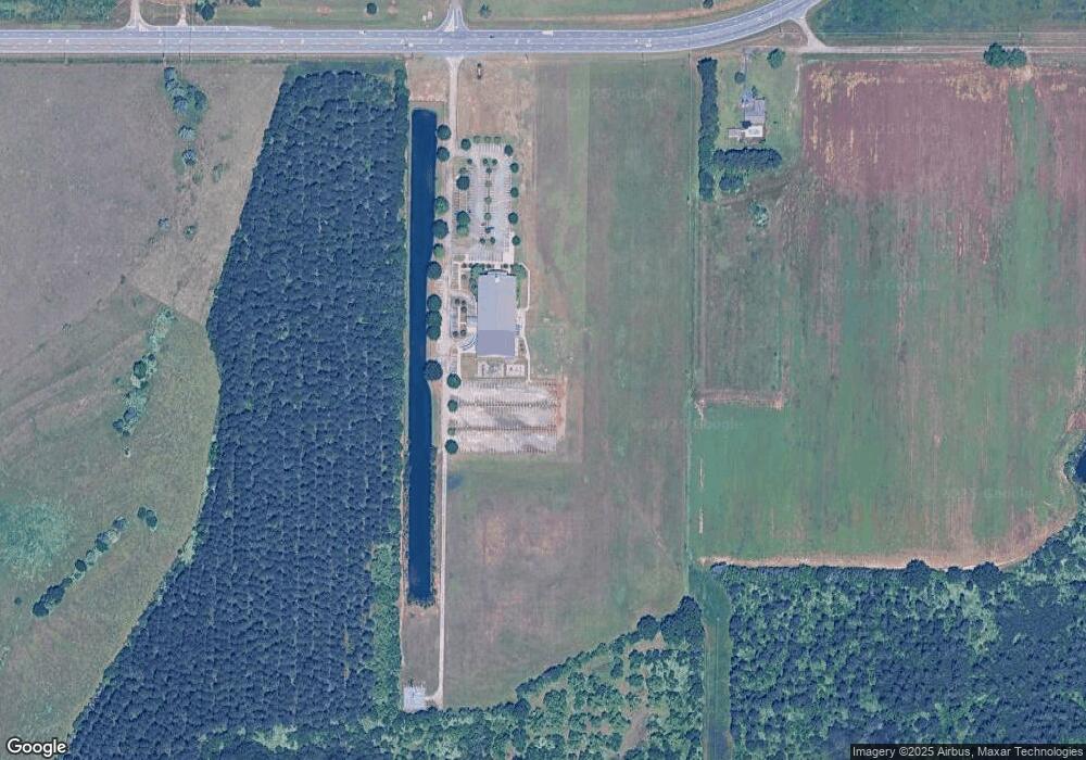
Map
Nearby Homes
- 309 Charles Gray Blvd
- 103 Steeple Ct
- 102 Steeple Ct
- 0 Airport Rd Unit 250304
- 2XX Airport Rd
- 902 Quail Ridge Ln
- 150 MacK Thompson Rd
- 124 Kenmore Cir
- 124 Kenmore Cir Unit 13
- 128 Kenmore Cir Unit 15
- 117 Kenmore Cir Unit 140
- 123 Kenmore Cir
- 115 Kenmore Cir
- 121 Kenmore Cir
- 126 Kenmore Cir
- 115 Kenmore Cir Unit 139
- 126 Kenmore Cir Unit 14
- 113 Kenmore Cir
- 128 Kenmore Cir
- 113 Kenmore Cir Unit 138
- 235 Thompson Rd
- 601 Perry Pkwy
- 1174 Perry Pkwy
- 2018 Us Highway 341 N
- 325 Airport Rd
- 2006 Us Highway 341 N
- 329 Airport Rd
- 2004 Us Highway 341 N
- 2032 N Hwy 341
- 212 Steeple Ct
- 2018 Sam Nunn Blvd
- 210 Steeple Ct
- 208 Steeple Ct
- 208 Steeple Ct Unit 172
- 885 Perry Pkwy
- 207 Steeple Ct
- 2002 Us Highway 341 N
- 206 Steeple Ct
- 205 Steeple Ct
- 307 Charles Gray Blvd