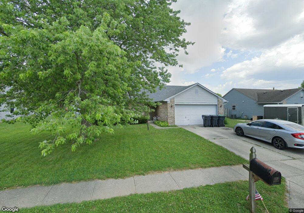
649 Saraina Ln Whiteland, IN 46184
Estimated Value: $243,000 - $268,000
3
Beds
2
Baths
1,276
Sq Ft
$197/Sq Ft
Est. Value
About This Home
This home is located at 649 Saraina Ln, Whiteland, IN 46184 and is currently estimated at $250,812, approximately $196 per square foot. 649 Saraina Ln is a home located in Johnson County with nearby schools including Break-O-Day Elementary School, Clark-Pleasant Middle School, and Whiteland Community High School.
Ownership History
Date
Name
Owned For
Owner Type
Purchase Details
Closed on
Mar 12, 2010
Sold by
Jarrett Charles V and Jarrett Brenda J
Bought by
Waltz Andrew
Current Estimated Value
Home Financials for this Owner
Home Financials are based on the most recent Mortgage that was taken out on this home.
Original Mortgage
$99,715
Outstanding Balance
$67,783
Interest Rate
5.5%
Mortgage Type
FHA
Estimated Equity
$183,029
Purchase Details
Closed on
Sep 15, 2009
Sold by
Deutsche Bank National Trust Co
Bought by
Jarrett Charles and Jarrett Brenda J
Purchase Details
Closed on
Jul 16, 2009
Sold by
Chittum Mark A and Chittum Bridgett L
Bought by
Deutsche Bank National Trust Co
Create a Home Valuation Report for This Property
The Home Valuation Report is an in-depth analysis detailing your home's value as well as a comparison with similar homes in the area
Home Values in the Area
Average Home Value in this Area
Purchase History
| Date | Buyer | Sale Price | Title Company |
|---|---|---|---|
| Waltz Andrew | -- | Investors Titilecorp | |
| Jarrett Charles | -- | None Available | |
| Deutsche Bank National Trust Co | $65,175 | None Available |
Source: Public Records
Mortgage History
| Date | Status | Borrower | Loan Amount |
|---|---|---|---|
| Open | Waltz Andrew | $99,715 |
Source: Public Records
Tax History Compared to Growth
Tax History
| Year | Tax Paid | Tax Assessment Tax Assessment Total Assessment is a certain percentage of the fair market value that is determined by local assessors to be the total taxable value of land and additions on the property. | Land | Improvement |
|---|---|---|---|---|
| 2025 | $2,045 | $225,800 | $51,000 | $174,800 |
| 2024 | $2,045 | $201,500 | $51,000 | $150,500 |
| 2023 | $2,027 | $195,100 | $51,000 | $144,100 |
| 2022 | $1,796 | $173,400 | $32,000 | $141,400 |
| 2021 | $1,451 | $140,100 | $32,000 | $108,100 |
| 2020 | $1,330 | $127,900 | $26,400 | $101,500 |
| 2019 | $1,294 | $124,600 | $26,400 | $98,200 |
| 2018 | $1,067 | $114,000 | $16,700 | $97,300 |
| 2017 | $962 | $100,900 | $16,700 | $84,200 |
| 2016 | $1,007 | $100,900 | $16,700 | $84,200 |
| 2014 | $1,033 | $101,200 | $16,700 | $84,500 |
| 2013 | $1,033 | $103,300 | $16,700 | $86,600 |
Source: Public Records
Map
Nearby Homes
- 647 Bluestem Cir
- 12 Rypma Row
- 76 Fernleaf Dr
- Liberty Plan at Crossroads at Southport
- 7331 Deerberg Dr
- Jefferson Plan at Crossroads at Southport
- 7338 Deerberg Dr
- Rushmore Plan at Crossroads at Southport
- Lincoln Plan at Crossroads at Southport
- Washington Plan at Crossroads at Southport
- 346 Switchgrass Ln
- 731 W 600 N
- 821 Princeton Dr
- 143 Tracy Ridge Blvd
- 230 Parkview Dr
- 239 Shelton Place
- 106 Tracy Ridge Blvd
- 250 Southlane Dr
- 0 E 700 N Unit MBR22036500
- 135 Bradford Place