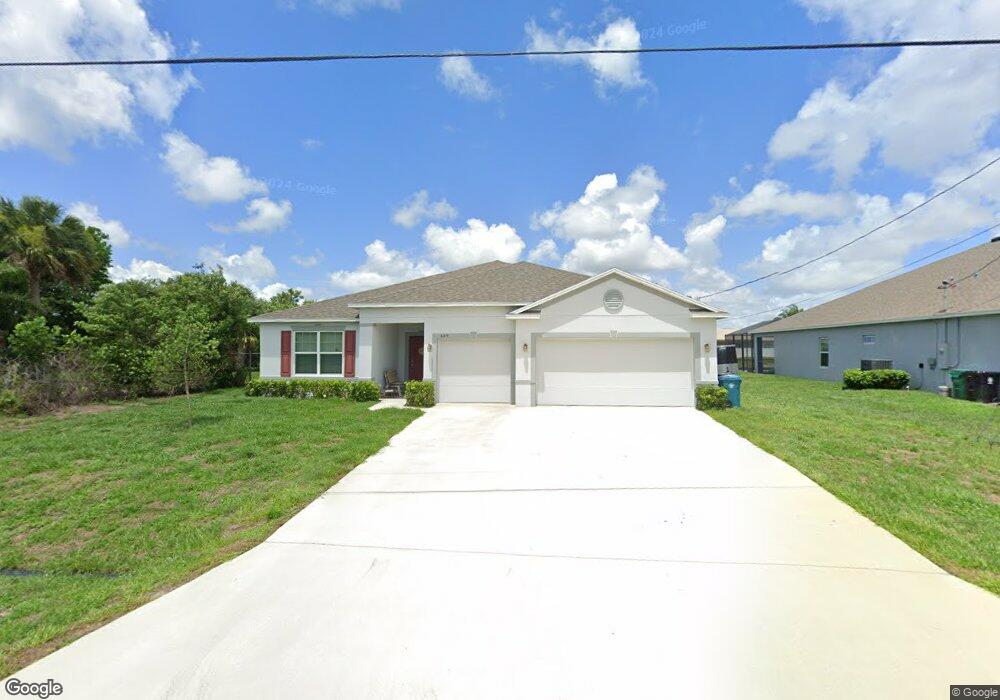
649 SW Millard Dr Port Saint Lucie, FL 34953
Crane Landing NeighborhoodEstimated Value: $404,000 - $494,000
3
Beds
2
Baths
11,300
Sq Ft
$39/Sq Ft
Est. Value
About This Home
This home is located at 649 SW Millard Dr, Port Saint Lucie, FL 34953 and is currently estimated at $445,107, approximately $39 per square foot. 649 SW Millard Dr is a home with nearby schools including Windmill Point Elementary School, Oak Hammock K-8 School, and Bayshore Elementary School.
Ownership History
Date
Name
Owned For
Owner Type
Purchase Details
Closed on
Oct 13, 2021
Sold by
Maronda Homes Llc
Bought by
Caciopoli Louis A and Caciopoli Allison Larkin
Current Estimated Value
Home Financials for this Owner
Home Financials are based on the most recent Mortgage that was taken out on this home.
Original Mortgage
$321,077
Outstanding Balance
$291,519
Interest Rate
2.8%
Mortgage Type
FHA
Estimated Equity
$153,588
Create a Home Valuation Report for This Property
The Home Valuation Report is an in-depth analysis detailing your home's value as well as a comparison with similar homes in the area
Home Values in the Area
Average Home Value in this Area
Purchase History
| Date | Buyer | Sale Price | Title Company |
|---|---|---|---|
| Caciopoli Louis A | $327,000 | Steel City Title |
Source: Public Records
Mortgage History
| Date | Status | Borrower | Loan Amount |
|---|---|---|---|
| Open | Caciopoli Louis A | $321,077 |
Source: Public Records
Tax History Compared to Growth
Tax History
| Year | Tax Paid | Tax Assessment Tax Assessment Total Assessment is a certain percentage of the fair market value that is determined by local assessors to be the total taxable value of land and additions on the property. | Land | Improvement |
|---|---|---|---|---|
| 2025 | $7,924 | $378,698 | -- | -- |
| 2024 | $7,784 | $368,026 | -- | -- |
| 2023 | $7,784 | $357,307 | $0 | $0 |
| 2022 | $7,564 | $346,900 | $105,000 | $241,900 |
| 2021 | $1,061 | $37,800 | $37,800 | $0 |
| 2020 | $748 | $24,000 | $24,000 | $0 |
| 2019 | $730 | $23,100 | $23,100 | $0 |
| 2018 | $665 | $18,000 | $18,000 | $0 |
| 2017 | $632 | $14,600 | $14,600 | $0 |
| 2016 | $609 | $13,200 | $13,200 | $0 |
| 2015 | $583 | $11,100 | $11,100 | $0 |
| 2014 | $544 | $6,490 | $0 | $0 |
Source: Public Records
Map
Nearby Homes
- 643 SW Millard Dr
- 540 SW Rabbit Ave
- 541 SW Nadell Ct
- 4292 SW Whitebread Rd
- 4215 SW Bachman St
- 590 SW Lacroix Ave
- 590 SW Jeanne Ave
- 672 SW Kayak Ave
- 4232 SW Jame St
- 729 SW Haas Ave
- 601 SW Icon Ave
- 517 SW Lacroix Ave
- 4249 SW Port St Lucie Blvd
- 4273 SW Port St Lucie Blvd
- 4111 SW Baltic St
- 514 SW Laconic Ave
- 4123 SW Port St Lucie Blvd
- 4222 SW Port Saint Lucie Blvd
- 4232 SW Port Saint Lucie Blvd
- 684 SW Jada Rd
- 655 SW Millard Dr
- 661 SW Millard Dr
- 598 SW Nadell Ave
- 637 SW Millard Dr
- 642 SW Millard Dr
- 4271 SW Mccrory St
- 4285 SW Mccrory St
- 665 SW Millard Dr
- 4271 SW Mccrory St
- 658 SW Millard Dr
- 599 SW Rabbit Ave
- 4257 SW Mccrory St
- 634 SW Millard Dr
- 631 SW Millard Dr
- 586 SW Nadell Ave
- 4299 SW Mccrory St
- 4243 SW Mccrory St
- 669 SW Millard Dr
- 626 SW Millard Dr
- 591 SW Rabbit Ave