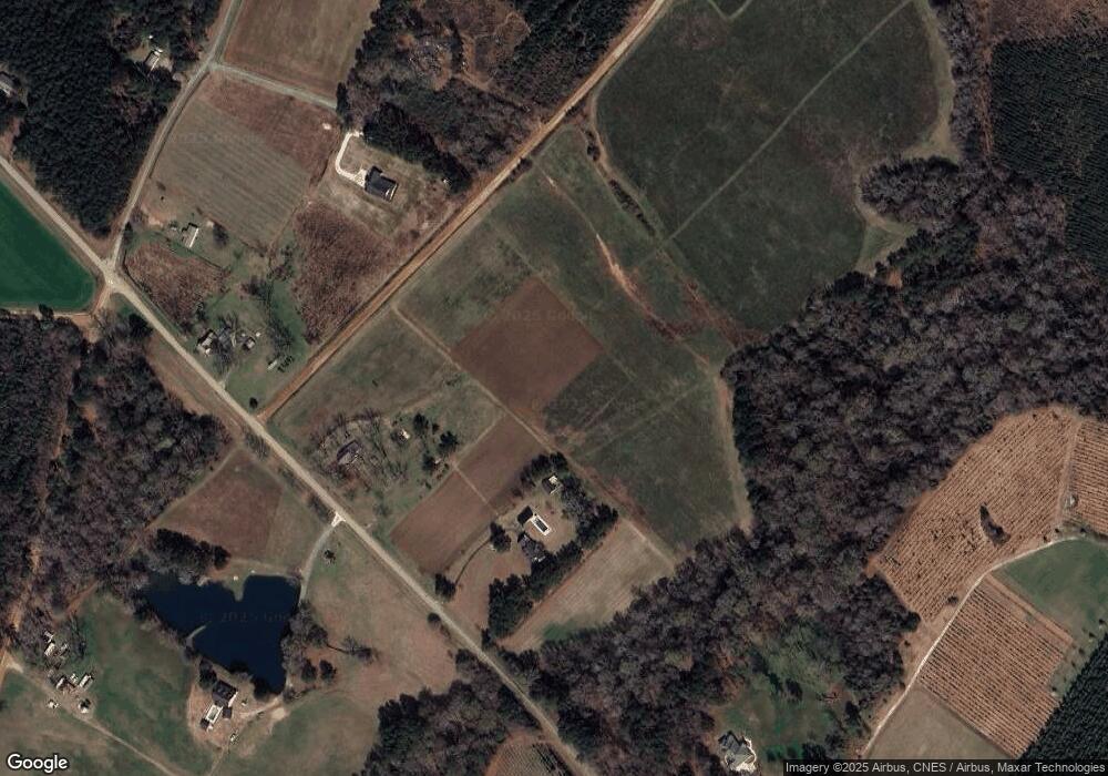
649 Thompson Rd Unit BILL Dexter, GA 31019
Estimated Value: $166,000 - $312,391
--
Bed
1
Bath
1,200
Sq Ft
$198/Sq Ft
Est. Value
About This Home
This home is located at 649 Thompson Rd Unit BILL, Dexter, GA 31019 and is currently estimated at $237,098, approximately $197 per square foot. 649 Thompson Rd Unit BILL is a home located in Laurens County with nearby schools including Northwest Laurens Elementary School, Southwest Laurens Elementary School, and East Laurens Primary School.
Ownership History
Date
Name
Owned For
Owner Type
Purchase Details
Closed on
May 12, 2025
Sold by
Thompson Claudia C
Bought by
Thompson Michael Lamar
Current Estimated Value
Purchase Details
Closed on
Apr 7, 2014
Sold by
Thompson Don Allen
Bought by
Thompson Curtis Lamar
Home Financials for this Owner
Home Financials are based on the most recent Mortgage that was taken out on this home.
Original Mortgage
$101,431
Interest Rate
4.33%
Mortgage Type
New Conventional
Purchase Details
Closed on
Dec 11, 2007
Sold by
Thompson Melvin L Testamen
Bought by
Thompson Don Allen and Thompson Curtis Lamar
Purchase Details
Closed on
Sep 9, 1909
Bought by
Thompson Melvin L
Create a Home Valuation Report for This Property
The Home Valuation Report is an in-depth analysis detailing your home's value as well as a comparison with similar homes in the area
Home Values in the Area
Average Home Value in this Area
Purchase History
| Date | Buyer | Sale Price | Title Company |
|---|---|---|---|
| Thompson Michael Lamar | -- | -- | |
| Thompson Melvin Allen | -- | -- | |
| Thompson Claudia C | -- | -- | |
| Thompson Curtis Lamar | $100,000 | -- | |
| Thompson Don Allen | -- | -- | |
| Thompson Melvin L | -- | -- |
Source: Public Records
Mortgage History
| Date | Status | Borrower | Loan Amount |
|---|---|---|---|
| Previous Owner | Thompson Curtis Lamar | $101,431 |
Source: Public Records
Tax History Compared to Growth
Tax History
| Year | Tax Paid | Tax Assessment Tax Assessment Total Assessment is a certain percentage of the fair market value that is determined by local assessors to be the total taxable value of land and additions on the property. | Land | Improvement |
|---|---|---|---|---|
| 2024 | $1,695 | $80,528 | $60,478 | $20,050 |
| 2023 | $969 | $80,110 | $60,478 | $19,632 |
| 2022 | $1,007 | $77,278 | $57,646 | $19,632 |
| 2021 | $1,060 | $77,377 | $55,537 | $21,840 |
| 2020 | $1,047 | $77,377 | $55,537 | $21,840 |
| 2019 | $1,034 | $77,377 | $55,537 | $21,840 |
| 2018 | $1,742 | $77,378 | $55,538 | $21,840 |
| 2017 | $1,741 | $77,378 | $55,538 | $21,840 |
| 2016 | $1,743 | $77,378 | $55,538 | $21,840 |
| 2015 | $1,743 | $77,377 | $55,538 | $21,840 |
| 2014 | $1,696 | $73,379 | $56,233 | $17,146 |
Source: Public Records
Map
Nearby Homes
- 2499 Bass Rd
- 2502 Kitchen Rd
- 2489 Kitchen Rd
- 2495 Kitchen Rd
- 2457 Kitchen Rd
- 2451 Kitchen Rd
- 631 Thompson Rd
- 2443 Kitchen Rd
- 667 Thompson Rd
- 2485 Kitchen Rd
- 697 Thompson Rd
- 00 Thompson Rd
- 705 Thompson Rd
- 1422 Hillbridge Rd
- 605 Thompson Rd
- 1430 Hillbridge Rd
- 2566 Kitchen Rd
- 731 Thompson Rd
- #14 Bass Rd
- #12 Bass Rd
