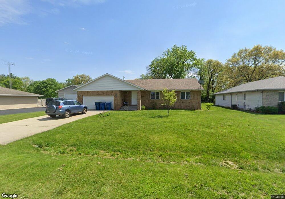
649 Verkler Dr Bonfield, IL 60913
Estimated Value: $247,000 - $293,709
--
Bed
--
Bath
--
Sq Ft
0.52
Acres
About This Home
This home is located at 649 Verkler Dr, Bonfield, IL 60913 and is currently estimated at $268,177. 649 Verkler Dr is a home with nearby schools including Herscher High School.
Ownership History
Date
Name
Owned For
Owner Type
Purchase Details
Closed on
Jul 2, 2021
Sold by
Painter Richard C
Bought by
Painter Gail L
Current Estimated Value
Home Financials for this Owner
Home Financials are based on the most recent Mortgage that was taken out on this home.
Original Mortgage
$116,500
Interest Rate
3.25%
Mortgage Type
New Conventional
Purchase Details
Closed on
Jul 15, 2005
Sold by
Richard Hoffman
Bought by
Painter Richard C and Painter Gail L
Home Financials for this Owner
Home Financials are based on the most recent Mortgage that was taken out on this home.
Original Mortgage
$168,780
Interest Rate
5.69%
Mortgage Type
New Conventional
Create a Home Valuation Report for This Property
The Home Valuation Report is an in-depth analysis detailing your home's value as well as a comparison with similar homes in the area
Home Values in the Area
Average Home Value in this Area
Purchase History
| Date | Buyer | Sale Price | Title Company |
|---|---|---|---|
| Painter Gail L | -- | Bc Law Firm Pa | |
| Painter Richard C | $174,000 | Kankakee Cnty Title & Tr |
Source: Public Records
Mortgage History
| Date | Status | Borrower | Loan Amount |
|---|---|---|---|
| Previous Owner | Painter Gail L | $116,500 | |
| Previous Owner | Painter Richard C | $168,780 |
Source: Public Records
Tax History Compared to Growth
Tax History
| Year | Tax Paid | Tax Assessment Tax Assessment Total Assessment is a certain percentage of the fair market value that is determined by local assessors to be the total taxable value of land and additions on the property. | Land | Improvement |
|---|---|---|---|---|
| 2024 | $5,497 | $81,929 | $5,636 | $76,293 |
| 2023 | $5,022 | $73,479 | $5,055 | $68,424 |
| 2022 | $4,633 | $66,648 | $4,585 | $62,063 |
| 2021 | $4,371 | $61,328 | $4,219 | $57,109 |
| 2020 | $4,375 | $60,571 | $4,167 | $56,404 |
| 2019 | $4,401 | $60,571 | $4,167 | $56,404 |
| 2018 | $4,406 | $60,571 | $4,167 | $56,404 |
| 2017 | $4,364 | $59,529 | $4,095 | $55,434 |
| 2016 | $4,248 | $57,795 | $3,976 | $53,819 |
| 2015 | $3,901 | $55,306 | $3,805 | $51,501 |
| 2014 | $3,740 | $53,695 | $3,694 | $50,001 |
| 2013 | -- | $54,652 | $3,760 | $50,892 |
Source: Public Records
Map
Nearby Homes
- 0 W 3000 Rd N Unit 23921814
- 10561 W State Route 17
- 2414 N 7000w Rd
- 1359 N 7000 Rd W
- 12710 W 1000n Rd
- 4500 N 12000 Rd W
- 4600 N 12000 Rd W
- 37150 S Macks Rd
- 37215 Darby Rd
- 17661 Illinois 113
- 19542 Bauer Rd
- 5101 W 1000n Rd
- 5690 W State Route 17
- 5285 W State Route 17 Unit A
- 4751 N 5500w Rd
- lot 1 S Irish Ln
- 4914 W State Route 113
- 210 Highpoint Dr
- 3842 Stone Oaks Dr
- 4780 N 16000n Rd