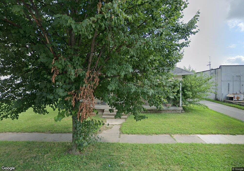
649 W Adams St Franklin, IN 46131
Estimated Value: $165,000 - $225,000
3
Beds
1
Bath
1,260
Sq Ft
$155/Sq Ft
Est. Value
About This Home
This home is located at 649 W Adams St, Franklin, IN 46131 and is currently estimated at $195,305, approximately $155 per square foot. 649 W Adams St is a home located in Johnson County with nearby schools including Northwood Elementary School, Franklin Community Middle School, and Custer Baker Intermediate School.
Ownership History
Date
Name
Owned For
Owner Type
Purchase Details
Closed on
Feb 16, 2012
Sold by
Hatfield Michaele D and Salazar Curiel Michaele D
Bought by
Myers Daniel K and Myers Deborah
Current Estimated Value
Purchase Details
Closed on
Aug 20, 2008
Sold by
Myers Deniel K and Myers Deborah
Bought by
Hatfield Michael D
Purchase Details
Closed on
Nov 15, 2006
Sold by
Myers Daniel K and Myers Deborah
Bought by
Hatfield Michaele D
Create a Home Valuation Report for This Property
The Home Valuation Report is an in-depth analysis detailing your home's value as well as a comparison with similar homes in the area
Home Values in the Area
Average Home Value in this Area
Purchase History
| Date | Buyer | Sale Price | Title Company |
|---|---|---|---|
| Myers Daniel K | -- | None Available | |
| Hatfield Michael D | -- | None Available | |
| Hatfield Michaele D | $50,000 | None Available |
Source: Public Records
Mortgage History
| Date | Status | Borrower | Loan Amount |
|---|---|---|---|
| Closed | Hatfield Michaele D | $0 |
Source: Public Records
Tax History Compared to Growth
Tax History
| Year | Tax Paid | Tax Assessment Tax Assessment Total Assessment is a certain percentage of the fair market value that is determined by local assessors to be the total taxable value of land and additions on the property. | Land | Improvement |
|---|---|---|---|---|
| 2025 | $640 | $79,200 | $16,400 | $62,800 |
| 2024 | $629 | $84,400 | $16,400 | $68,000 |
| 2023 | $553 | $78,000 | $16,400 | $61,600 |
| 2022 | $492 | $71,900 | $16,400 | $55,500 |
| 2021 | $440 | $61,200 | $15,400 | $45,800 |
| 2020 | $449 | $117,200 | $30,700 | $86,500 |
| 2019 | $1,199 | $111,600 | $19,700 | $91,900 |
| 2018 | $443 | $61,300 | $19,700 | $41,600 |
| 2017 | $442 | $61,300 | $19,700 | $41,600 |
| 2016 | $458 | $92,600 | $19,700 | $72,900 |
| 2014 | $631 | $75,100 | $24,800 | $50,300 |
| 2013 | $631 | $73,000 | $24,800 | $48,200 |
Source: Public Records
Map
Nearby Homes
- 199 Walnut St
- 1050 Wild Ivy Trail Unit 1052
- 0 W 900 Hwy Unit 202537998
- 298 N Water St
- 252 S Main St
- 147 E King St
- 76 E Wayne St Unit B
- 178 S Water St Unit F
- 150 E Madison St
- 751 Graham St
- 772 Franklin Lakes Blvd
- 348 Ohio St
- 698 Yandes St
- 351 Cincinnati St
- 2090 Pelican Dr
- 785 Shoreline Ct
- 1450 Roberts Rd
- 492 Pelenor Dr
- 750 Hurricane St
- 550 Howe St
- 601 W Adams St
- 278 N Vaught St
- 599 W Adams St
- 598 W Adams St
- 597 W Adams St
- 646 W King St
- 648 W King St
- 403 N Vaught St
- 574 W Adams St
- 551 W Adams St
- 600 W King St
- 0 E 500 S Unit 2861495
- 0 E 500 S Unit 2951564
- 0 E 500 S Unit 21061875
- 0 E 500 S Unit 21146072
- 0 E 500 S Unit MBR2803906
- 550 W Adams St
- 549 W Adams St
- 201 N Vaught St
- 548 W Adams St