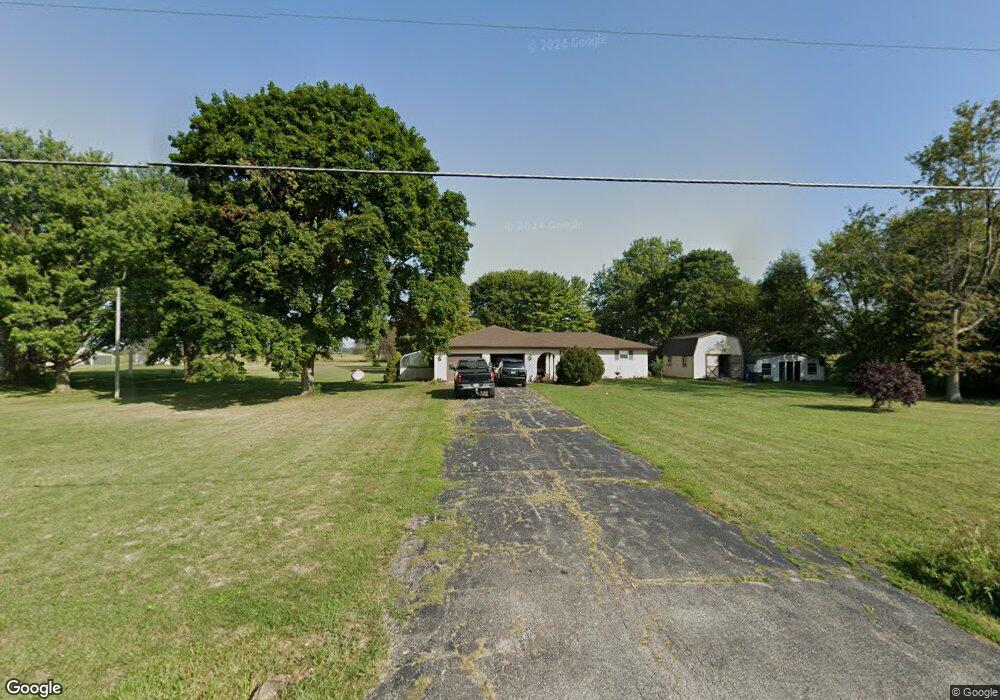
6490 King Pike West Jefferson, OH 43162
Estimated Value: $482,000 - $529,000
3
Beds
2
Baths
2,008
Sq Ft
$249/Sq Ft
Est. Value
About This Home
This home is located at 6490 King Pike, West Jefferson, OH 43162 and is currently estimated at $500,788, approximately $249 per square foot. 6490 King Pike is a home located in Madison County with nearby schools including Norwood Elementary School, West Jefferson Middle School, and West Jefferson High School.
Ownership History
Date
Name
Owned For
Owner Type
Purchase Details
Closed on
Jun 28, 2004
Sold by
Mullet Atlee D and Mullet Crystal J
Bought by
Barnhart Michael E and Barnhart Deborah M
Current Estimated Value
Home Financials for this Owner
Home Financials are based on the most recent Mortgage that was taken out on this home.
Original Mortgage
$188,000
Outstanding Balance
$94,842
Interest Rate
6.37%
Mortgage Type
Purchase Money Mortgage
Estimated Equity
$405,946
Purchase Details
Closed on
Jun 8, 1998
Sold by
Czeczele Michael J
Bought by
Mullet Atlee D and Mullet Crystal J
Create a Home Valuation Report for This Property
The Home Valuation Report is an in-depth analysis detailing your home's value as well as a comparison with similar homes in the area
Home Values in the Area
Average Home Value in this Area
Purchase History
| Date | Buyer | Sale Price | Title Company |
|---|---|---|---|
| Barnhart Michael E | $235,000 | Multiple | |
| Mullet Atlee D | $163,000 | -- |
Source: Public Records
Mortgage History
| Date | Status | Borrower | Loan Amount |
|---|---|---|---|
| Open | Barnhart Michael E | $188,000 |
Source: Public Records
Tax History Compared to Growth
Tax History
| Year | Tax Paid | Tax Assessment Tax Assessment Total Assessment is a certain percentage of the fair market value that is determined by local assessors to be the total taxable value of land and additions on the property. | Land | Improvement |
|---|---|---|---|---|
| 2024 | $5,724 | $125,050 | $27,030 | $98,020 |
| 2023 | $5,724 | $125,050 | $27,030 | $98,020 |
| 2022 | $5,134 | $103,960 | $22,480 | $81,480 |
| 2021 | $5,154 | $103,960 | $22,480 | $81,480 |
| 2020 | $5,242 | $103,960 | $22,480 | $81,480 |
| 2019 | $5,172 | $101,150 | $20,320 | $80,830 |
| 2018 | $4,748 | $101,150 | $20,320 | $80,830 |
| 2017 | $4,819 | $101,150 | $20,320 | $80,830 |
| 2016 | $4,056 | $84,460 | $20,320 | $64,140 |
| 2015 | $4,132 | $84,460 | $20,320 | $64,140 |
| 2014 | $4,132 | $84,460 | $20,320 | $64,140 |
| 2013 | -- | $78,900 | $15,630 | $63,270 |
Source: Public Records
Map
Nearby Homes
- 3150 Middle Pike
- 3330 Taylor Blair Rd
- 2915 US Highway 42 NE
- 9519 High Free Pike
- 1000 W Main St Unit 120
- 622 Brookdale Dr
- 3583 Darby Knolls Blvd
- 304 Middle Dr
- 360 State Route 142 NE
- 63 Jones St
- 700 Shawn Dr Unit 88
- 8873 Canoe Dr
- 8830 Hubbard Dr N
- 0 W Jeff Kiousville Rd Unit 225000725
- 8290 Roberts Rd
- 749 Hubbard Rd
- 2209 Grewell Rd
- 1280 Four Star Dr W
- 1278 Lieutenant Dr
- 0 Dellinger Rd Unit 9 2030113
- 6440 King Pike
- 6530 King Pike
- 6420 King Pike
- 6550 King Pike
- 6410 King Pike
- 6580 King Pike
- 6380 King Pike
- 6610 King Pike
- 6640 King Pike
- 6360 King Pike
- 6345 King Pike
- 6670 King Pike
- 6710 King Pike
- 6740 King Pike
- 6760 King Pike
- 6790 King Pike
- 6860 King Pike
- 6890 King Pike
- 3794 Middle Pike
- 3912 Middle Pike