6490 Secrest Rd Wooster, OH 44691
Estimated Value: $241,000 - $333,000
3
Beds
1
Bath
1,272
Sq Ft
$231/Sq Ft
Est. Value
About This Home
This home is located at 6490 Secrest Rd, Wooster, OH 44691 and is currently estimated at $294,199, approximately $231 per square foot. 6490 Secrest Rd is a home located in Wayne County with nearby schools including Waynedale High School, Maple Grove, and STONE HILL.
Ownership History
Date
Name
Owned For
Owner Type
Purchase Details
Closed on
Nov 22, 2002
Sold by
Safari Joyce D
Bought by
Stark James L
Current Estimated Value
Purchase Details
Closed on
Jun 26, 1998
Sold by
Cohen Anna S
Bought by
Safari James L Stark Joyce D
Home Financials for this Owner
Home Financials are based on the most recent Mortgage that was taken out on this home.
Original Mortgage
$75,600
Interest Rate
7.27%
Mortgage Type
New Conventional
Purchase Details
Closed on
Dec 7, 1993
Sold by
Cohen Edward and Cohen Anna S
Bought by
Cohen Anna S
Purchase Details
Closed on
Jan 15, 1987
Bought by
Cohen Edward and Cohen Anna S
Create a Home Valuation Report for This Property
The Home Valuation Report is an in-depth analysis detailing your home's value as well as a comparison with similar homes in the area
Home Values in the Area
Average Home Value in this Area
Purchase History
| Date | Buyer | Sale Price | Title Company |
|---|---|---|---|
| Stark James L | $5,000 | -- | |
| Safari James L Stark Joyce D | $84,000 | -- | |
| Cohen Anna S | -- | -- | |
| Cohen Edward | $57,000 | -- |
Source: Public Records
Mortgage History
| Date | Status | Borrower | Loan Amount |
|---|---|---|---|
| Previous Owner | Safari James L Stark Joyce D | $75,600 |
Source: Public Records
Tax History Compared to Growth
Tax History
| Year | Tax Paid | Tax Assessment Tax Assessment Total Assessment is a certain percentage of the fair market value that is determined by local assessors to be the total taxable value of land and additions on the property. | Land | Improvement |
|---|---|---|---|---|
| 2024 | $3,116 | $85,350 | $28,390 | $56,960 |
| 2023 | $3,116 | $85,350 | $28,390 | $56,960 |
| 2022 | $2,416 | $60,110 | $20,000 | $40,110 |
| 2021 | $2,421 | $60,110 | $20,000 | $40,110 |
| 2020 | $2,447 | $60,110 | $20,000 | $40,110 |
| 2019 | $2,044 | $48,950 | $18,300 | $30,650 |
| 2018 | $2,124 | $48,950 | $18,300 | $30,650 |
| 2017 | $2,148 | $48,950 | $18,300 | $30,650 |
| 2016 | $1,902 | $42,560 | $15,910 | $26,650 |
| 2015 | $1,762 | $42,560 | $15,910 | $26,650 |
| 2014 | $1,772 | $42,560 | $15,910 | $26,650 |
| 2013 | $1,749 | $40,260 | $15,730 | $24,530 |
Source: Public Records
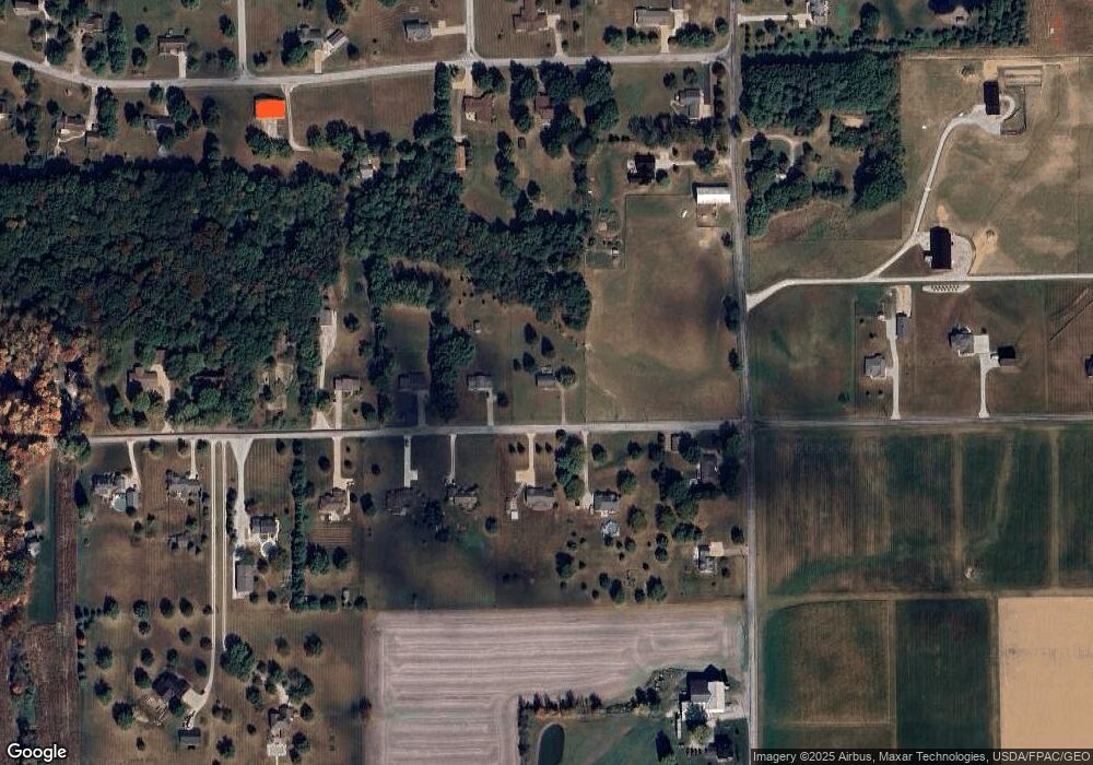
Map
Nearby Homes
- 24 Silver Pond Dr
- 5311 Canal Rd
- 1043 N Honeytown Rd
- 3450 Secrest Rd
- 660 Millborne Rd
- 3299 Crestview Dr
- 1474 N Honeytown Rd
- 3125 Dover Rd
- 4622 S Apple Creek Rd
- 4639 Westwood Dr
- 2530 Tuckahoe Rd
- 0 E Main St
- 24 Shannon Dr
- 136 Spring Run Dr
- 8191 Back Orrville Rd
- 10475 Lincoln Way E
- 1762 Pine Cove
- 1790 Pine Cove
- 2667 Eastwood Dr
- 1530 Willoughby Dr
- 6452 Secrest Rd
- 6416 Secrest Rd
- 6511 Secrest Rd
- 6475 Secrest Rd
- 6443 Secrest Rd
- 1225 Barnard Rd
- 6401 Secrest Rd
- 6378 Secrest Rd
- 1291 Barnard Rd
- 6363 Secrest Rd
- 6479 Chestnut Ridge Dr
- 6300 Secrest Rd
- 6300 Secrest Rd
- 6349 Chestnut Ridge Dr
- 6437 Chestnut Ridge Dr
- 6543 Chestnut Ridge Dr
- 1044 Barnard Rd
- 6327 Secrest Rd
- 1399 Barnard Rd
- 6400 Chestnut Ridge Dr