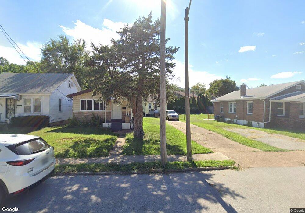
6492 Dale Ave Saint Louis, MO 63139
Franz Park NeighborhoodEstimated Value: $94,000 - $175,000
--
Bed
1
Bath
1,424
Sq Ft
$91/Sq Ft
Est. Value
About This Home
This home is located at 6492 Dale Ave, Saint Louis, MO 63139 and is currently estimated at $129,776, approximately $91 per square foot. 6492 Dale Ave is a home located in St. Louis City with nearby schools including Mason Elementary School, Long International Middle School, and Roosevelt High School.
Ownership History
Date
Name
Owned For
Owner Type
Purchase Details
Closed on
Oct 31, 2006
Sold by
U S Bank Na
Bought by
Shepherd Scott
Current Estimated Value
Home Financials for this Owner
Home Financials are based on the most recent Mortgage that was taken out on this home.
Original Mortgage
$30,000
Outstanding Balance
$17,904
Interest Rate
6.37%
Mortgage Type
Purchase Money Mortgage
Estimated Equity
$111,872
Purchase Details
Closed on
Aug 25, 2006
Sold by
Nydegger Joseph R and Ray Thomas J
Bought by
U S Bank Na
Purchase Details
Closed on
Nov 7, 2001
Sold by
Schaub William D and Pfeiffer Loretta R
Bought by
Nydegger Joseph R
Home Financials for this Owner
Home Financials are based on the most recent Mortgage that was taken out on this home.
Original Mortgage
$50,000
Interest Rate
6.57%
Mortgage Type
Purchase Money Mortgage
Create a Home Valuation Report for This Property
The Home Valuation Report is an in-depth analysis detailing your home's value as well as a comparison with similar homes in the area
Home Values in the Area
Average Home Value in this Area
Purchase History
| Date | Buyer | Sale Price | Title Company |
|---|---|---|---|
| Shepherd Scott | -- | U S Title | |
| U S Bank Na | $51,980 | None Available | |
| Nydegger Joseph R | -- | -- |
Source: Public Records
Mortgage History
| Date | Status | Borrower | Loan Amount |
|---|---|---|---|
| Open | Shepherd Scott | $30,000 | |
| Previous Owner | Nydegger Joseph R | $50,000 | |
| Closed | Nydegger Joseph R | $3,345 |
Source: Public Records
Tax History Compared to Growth
Tax History
| Year | Tax Paid | Tax Assessment Tax Assessment Total Assessment is a certain percentage of the fair market value that is determined by local assessors to be the total taxable value of land and additions on the property. | Land | Improvement |
|---|---|---|---|---|
| 2025 | $1,214 | $15,720 | $1,310 | $14,410 |
| 2024 | $1,156 | $14,170 | $1,310 | $12,860 |
| 2023 | $1,156 | $14,170 | $1,310 | $12,860 |
| 2022 | $1,077 | $12,690 | $1,310 | $11,380 |
| 2021 | $1,075 | $12,690 | $1,310 | $11,380 |
| 2020 | $884 | $10,450 | $1,310 | $9,140 |
| 2019 | $1,003 | $11,950 | $1,310 | $10,640 |
| 2018 | $830 | $10,640 | $1,310 | $9,330 |
| 2017 | $816 | $9,520 | $1,310 | $8,210 |
| 2016 | $823 | $9,480 | $1,310 | $8,170 |
| 2015 | $748 | $9,480 | $1,310 | $8,170 |
| 2014 | $750 | $9,480 | $1,310 | $8,170 |
| 2013 | -- | $9,520 | $1,310 | $8,210 |
Source: Public Records
Map
Nearby Homes
- 6437 Brockschmidt Place
- 1371 Mobile Ct
- 1511 Fairmount Ave
- 1597 Fairmount Ave
- 6454 Wade Ave
- 1361 Louisville Ave
- 1348 Kraft St
- 6750 Plateau Ave
- 1320 Tamm Ave
- 6819 Clyde Terrace
- 6719 Nashville Ave
- 2020 Prather Ave
- 1326 Graham St
- 1324 Graham St
- 2036 Prather Ave
- 1225 Kraft St
- 1617 Forest Ave
- 1623 Forest Ave
- 1625 Forest Ave
- 2022 Knox Ave