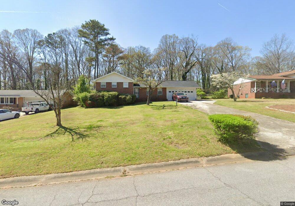
6493 Katie Ln Unit 2 Morrow, GA 30260
Estimated Value: $221,000 - $240,000
4
Beds
2
Baths
1,718
Sq Ft
$135/Sq Ft
Est. Value
About This Home
This home is located at 6493 Katie Ln Unit 2, Morrow, GA 30260 and is currently estimated at $231,548, approximately $134 per square foot. 6493 Katie Ln Unit 2 is a home located in Clayton County with nearby schools including William M. Mcgarrah Elementary School, Rex Mill Middle School, and Mount Zion High School.
Ownership History
Date
Name
Owned For
Owner Type
Purchase Details
Closed on
Dec 3, 2004
Sold by
Childs Derrick A
Bought by
Scott Tina A
Current Estimated Value
Home Financials for this Owner
Home Financials are based on the most recent Mortgage that was taken out on this home.
Original Mortgage
$107,100
Outstanding Balance
$58,447
Interest Rate
7.1%
Mortgage Type
New Conventional
Estimated Equity
$173,101
Purchase Details
Closed on
May 12, 2004
Sold by
Fleming Lois B
Bought by
Fleming Daniel A
Home Financials for this Owner
Home Financials are based on the most recent Mortgage that was taken out on this home.
Original Mortgage
$122,500
Interest Rate
5.49%
Mortgage Type
New Conventional
Create a Home Valuation Report for This Property
The Home Valuation Report is an in-depth analysis detailing your home's value as well as a comparison with similar homes in the area
Home Values in the Area
Average Home Value in this Area
Purchase History
| Date | Buyer | Sale Price | Title Company |
|---|---|---|---|
| Scott Tina A | $133,900 | -- | |
| Fleming Daniel A | $122,500 | -- |
Source: Public Records
Mortgage History
| Date | Status | Borrower | Loan Amount |
|---|---|---|---|
| Open | Scott Tina A | $107,100 | |
| Previous Owner | Fleming Daniel A | $122,500 |
Source: Public Records
Tax History Compared to Growth
Tax History
| Year | Tax Paid | Tax Assessment Tax Assessment Total Assessment is a certain percentage of the fair market value that is determined by local assessors to be the total taxable value of land and additions on the property. | Land | Improvement |
|---|---|---|---|---|
| 2024 | $2,814 | $71,240 | $8,000 | $63,240 |
| 2023 | $2,078 | $57,560 | $8,000 | $49,560 |
| 2022 | $2,291 | $57,480 | $8,000 | $49,480 |
| 2021 | $2,029 | $50,480 | $8,000 | $42,480 |
| 2020 | $1,742 | $42,676 | $8,000 | $34,676 |
| 2019 | $1,567 | $37,738 | $8,000 | $29,738 |
| 2018 | $1,483 | $35,679 | $8,000 | $27,679 |
| 2017 | $1,576 | $37,864 | $8,000 | $29,864 |
| 2016 | $1,595 | $38,330 | $8,000 | $30,330 |
| 2015 | $1,587 | $0 | $0 | $0 |
| 2014 | $1,431 | $35,106 | $8,000 | $27,106 |
Source: Public Records
Map
Nearby Homes
- 6485 Katie Ln
- 6501 Katie Ln
- 6511 Katie Ln
- 6467 Katie Ln
- 6492 Katie Ln
- 6500 Katie Ln
- 0 Katie Ln Unit 7049346
- 0 Katie Ln Unit 3243781
- 0 Katie Ln Unit 8520639
- 0 Katie Ln Unit 7301922
- 0 Katie Ln Unit 2857569
- 0 Katie Ln Unit 8141849
- 0 Katie Ln Unit 8758376
- 0 Katie Ln Unit 7069053
- 0 Katie Ln Unit 3204447
- 0 Katie Ln Unit 8621349
- 0 Katie Ln Unit 8477692
- 0 Katie Ln Unit 7188606
- 6484 Katie Ln Unit 2
- 6521 Katie Ln