64940 Orchard Rd La Grande, OR 97850
Estimated Value: $561,450 - $713,000
3
Beds
2
Baths
1,950
Sq Ft
$327/Sq Ft
Est. Value
About This Home
This home is located at 64940 Orchard Rd, La Grande, OR 97850 and is currently estimated at $637,225, approximately $326 per square foot. 64940 Orchard Rd is a home located in Union County with nearby schools including La Grande High School.
Ownership History
Date
Name
Owned For
Owner Type
Purchase Details
Closed on
May 12, 2014
Sold by
Schnell Robert J and Schnell Susan D
Bought by
Britt Ben and Britt Catherine
Current Estimated Value
Home Financials for this Owner
Home Financials are based on the most recent Mortgage that was taken out on this home.
Original Mortgage
$85,000
Outstanding Balance
$25,538
Interest Rate
4.31%
Mortgage Type
Purchase Money Mortgage
Estimated Equity
$611,687
Create a Home Valuation Report for This Property
The Home Valuation Report is an in-depth analysis detailing your home's value as well as a comparison with similar homes in the area
Home Values in the Area
Average Home Value in this Area
Purchase History
| Date | Buyer | Sale Price | Title Company |
|---|---|---|---|
| Britt Ben | $285,000 | Eastern Oregon Title Inc |
Source: Public Records
Mortgage History
| Date | Status | Borrower | Loan Amount |
|---|---|---|---|
| Open | Britt Ben | $85,000 |
Source: Public Records
Tax History Compared to Growth
Tax History
| Year | Tax Paid | Tax Assessment Tax Assessment Total Assessment is a certain percentage of the fair market value that is determined by local assessors to be the total taxable value of land and additions on the property. | Land | Improvement |
|---|---|---|---|---|
| 2025 | $3,134 | $264,442 | $30,572 | $233,870 |
| 2024 | $3,009 | $256,730 | $29,670 | $227,060 |
| 2023 | $2,977 | $249,260 | $28,800 | $220,460 |
| 2022 | $2,903 | $242,001 | $27,967 | $214,034 |
| 2021 | $2,837 | $234,953 | $27,153 | $207,800 |
| 2020 | $2,682 | $228,111 | $26,363 | $201,748 |
| 2019 | $2,607 | $220,935 | $40,485 | $180,450 |
| 2018 | $2,639 | $221,457 | $24,850 | $196,607 |
| 2017 | $2,556 | $215,008 | $24,128 | $190,880 |
| 2016 | $2,361 | $198,706 | $38,076 | $160,630 |
| 2015 | $2,034 | $208,737 | $36,397 | $172,340 |
| 2014 | $2,034 | $207,078 | $36,228 | $170,850 |
| 2013 | $2,007 | $204,132 | $21,415 | $182,717 |
Source: Public Records
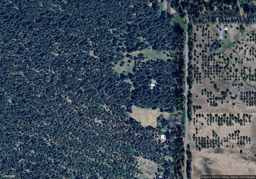
Map
Nearby Homes
- 65255 Hunter Rd
- 63881 Lester Rd
- 62436 Mink Ln
- 63563 Booth Ln
- 62123 Chandler Loop
- 61764 Blackhawk Trail Ln
- 61993 Quail Rd
- 61988 West Rd
- 10203 S Mcalister Rd
- 416 4th St
- 0 Walton Rd Unit 546563801
- 710 Esther Ave
- 911 Division Ave
- 1012 Lake Ave
- 1018 Lake Ave
- 460 7th St
- 15274 Harney Ave
- 10504 G Ct
- 1804 Z Ave
- 3103 N Walnut St
- 64988 Orchard Rd
- 64764 Orchard Rd
- 64736 Orchard Rd
- 64720 Orchard Rd
- 64718 Orchard Rd
- 64560 Orchard Rd
- 64610 Orchard Rd
- 65020 Orchard Rd
- 64894 Orchard Rd
- 64635 Orchard Rd
- 62778 Monroe Ln
- 62778 Monroe Ln Unit Lot 3
- 62685 Monroe Ln
- 62876 Monroe Ln
- 64701 Cherrywood Rd
- 64678 Cherrywood Rd
- 64680 Cherrywood Rd
- 64633 Cherrywood Rd
- 62687 Monroe Ln