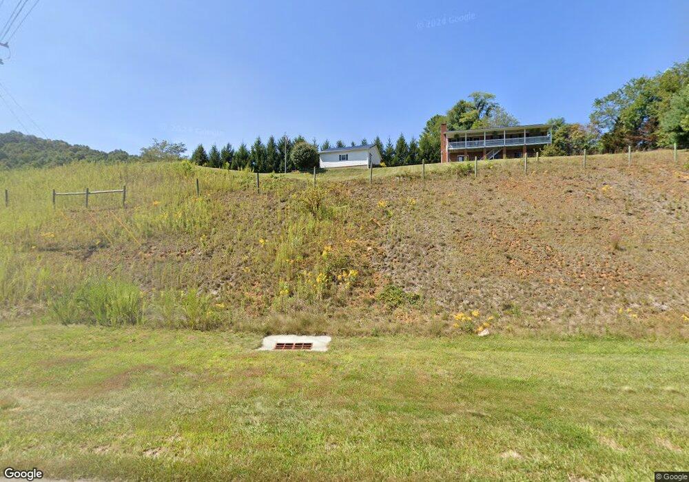
6498 Us Highway 221 S West Jefferson, NC 28694
Estimated Value: $357,000 - $509,000
--
Bed
--
Bath
3,084
Sq Ft
$139/Sq Ft
Est. Value
About This Home
This home is located at 6498 Us Highway 221 S, West Jefferson, NC 28694 and is currently estimated at $429,163, approximately $139 per square foot. 6498 Us Highway 221 S is a home with nearby schools including Ashe County High School.
Ownership History
Date
Name
Owned For
Owner Type
Purchase Details
Closed on
Apr 29, 2016
Sold by
Greer Joann
Bought by
Phipps Kevin L and Phipps Tina R
Current Estimated Value
Home Financials for this Owner
Home Financials are based on the most recent Mortgage that was taken out on this home.
Original Mortgage
$75,000
Outstanding Balance
$5,910
Interest Rate
3.71%
Mortgage Type
New Conventional
Estimated Equity
$423,253
Purchase Details
Closed on
Aug 8, 2008
Sold by
Greer Joann
Bought by
Smith Jeff and Smith Margie
Create a Home Valuation Report for This Property
The Home Valuation Report is an in-depth analysis detailing your home's value as well as a comparison with similar homes in the area
Home Values in the Area
Average Home Value in this Area
Purchase History
| Date | Buyer | Sale Price | Title Company |
|---|---|---|---|
| Phipps Kevin L | $75,000 | Attorney | |
| Smith Jeff | $130,000 | -- |
Source: Public Records
Mortgage History
| Date | Status | Borrower | Loan Amount |
|---|---|---|---|
| Open | Phipps Kevin L | $75,000 |
Source: Public Records
Tax History Compared to Growth
Tax History
| Year | Tax Paid | Tax Assessment Tax Assessment Total Assessment is a certain percentage of the fair market value that is determined by local assessors to be the total taxable value of land and additions on the property. | Land | Improvement |
|---|---|---|---|---|
| 2025 | $1,657 | $328,700 | $28,300 | $300,400 |
| 2024 | $1,591 | $328,700 | $28,300 | $300,400 |
| 2023 | $1,591 | $328,700 | $28,300 | $300,400 |
| 2022 | $1,312 | $211,200 | $27,500 | $183,700 |
| 2021 | $1,312 | $211,200 | $27,500 | $183,700 |
| 2020 | $1,170 | $211,200 | $27,500 | $183,700 |
| 2019 | $1,147 | $211,200 | $27,500 | $183,700 |
| 2018 | $1,271 | $214,700 | $27,500 | $187,200 |
| 2016 | $1,276 | $214,700 | $27,500 | $187,200 |
| 2015 | $2,349 | $214,700 | $27,500 | $187,200 |
| 2014 | $2,349 | $474,800 | $136,300 | $338,500 |
Source: Public Records
Map
Nearby Homes
- TBD Hillside Dr
- 179 Whitethorne Ln
- 181 Whitethorne Ln
- 668 Woodstown Rd
- 509 Grant Houck Rd
- TBD 6 Christmas Mountain Ln
- TBD 2 Christmas Mountain Ln
- 129 Troys Trail
- Lot 10 Quail Ridge Dr
- 393 Black Bear Acres Ln
- Lot 20 Quail Ridge Dr
- Lot 19 Quail Ridge Dr
- Lot 18 Quail Ridge Dr
- Lot 14 Quail Ridge Dr
- Lot 28 Quail Ridge Dr
- Lot 27 Quail Ridge Dr
- Lot 30 Quail Ridge Dr
- 145 Settlers Ridge Rd
- Lot 26 Dawn Warwick Rd
- Lot 33 Quail Ridge Dr
- 6443 S 221 Hwy
- und Frank Edwards Rd
- Tbd Frank Edwards Rd
- 148 Ervin Houck Dr
- 178 Ervin Houck Dr
- 305 Frank Edwards Rd
- 212 Ervin Houck Dr
- 381 Frank Edwards Rd
- 351 Frank Edwards Rd
- 186 Ervin Houck Dr
- 407 Frank Edwards Rd
- 209 Frank Edwards Rd
- 153 Ervin Houck Dr
- 157 Station Dr
- 153 Station Dr
- 454 Frank Edwards Rd
- TBD Highway 221 S
- 777 Nc Highway 194 S
- 158 Station Dr
- 447 Frank Edwards Rd