64A Swamp Rd Little Compton, RI 02837
Estimated Value: $1,434,000 - $6,337,895
Studio
--
Bath
--
Sq Ft
958,320
Sq Ft Lot
About This Home
This home is located at 64A Swamp Rd, Little Compton, RI 02837 and is currently estimated at $3,885,948. 64A Swamp Rd is a home located in Newport County with nearby schools including Wilbur & McMahon School.
Ownership History
Date
Name
Owned For
Owner Type
Purchase Details
Closed on
Dec 21, 2012
Sold by
Aldrich Peter C
Bought by
Aldrich Mary Lee
Current Estimated Value
Purchase Details
Closed on
Dec 4, 2012
Sold by
Aldrich Peter and Aldrich Marylee T
Bought by
Aldrich Peter C
Purchase Details
Closed on
Jun 30, 1999
Sold by
Southworth Franklin C
Bought by
Aldrich Peter and Aldrich Marylee
Create a Home Valuation Report for This Property
The Home Valuation Report is an in-depth analysis detailing your home's value as well as a comparison with similar homes in the area
Home Values in the Area
Average Home Value in this Area
Purchase History
| Date | Buyer | Sale Price | Title Company |
|---|---|---|---|
| Aldrich Mary Lee | -- | -- | |
| Aldrich Peter C | -- | -- | |
| Aldrich Peter C | -- | -- | |
| Aldrich Peter | $232,500 | -- |
Source: Public Records
Mortgage History
| Date | Status | Borrower | Loan Amount |
|---|---|---|---|
| Open | Aldrich Peter | $2,000,000 | |
| Closed | Aldrich Peter | $2,000,000 | |
| Previous Owner | Aldrich Peter | $2,000,000 |
Source: Public Records
Tax History
| Year | Tax Paid | Tax Assessment Tax Assessment Total Assessment is a certain percentage of the fair market value that is determined by local assessors to be the total taxable value of land and additions on the property. | Land | Improvement |
|---|---|---|---|---|
| 2025 | $35,117 | $7,331,300 | $1,598,700 | $5,732,600 |
| 2024 | $30,008 | $5,907,000 | $1,376,300 | $4,530,700 |
| 2023 | $29,299 | $5,907,000 | $1,376,300 | $4,530,700 |
| 2022 | $28,944 | $5,907,000 | $1,376,300 | $4,530,700 |
| 2021 | $29,168 | $4,829,100 | $1,033,800 | $3,795,300 |
| 2020 | $28,899 | $4,824,600 | $1,033,800 | $3,790,800 |
| 2019 | $31,864 | $5,373,300 | $1,587,900 | $3,785,400 |
| 2018 | $26,150 | $4,387,600 | $845,400 | $3,542,200 |
| 2016 | $24,878 | $4,387,600 | $845,400 | $3,542,200 |
| 2015 | $25,306 | $4,401,000 | $858,800 | $3,542,200 |
| 2014 | $24,822 | $4,401,000 | $858,800 | $3,542,200 |
Source: Public Records
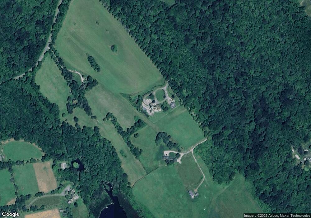
Map
Nearby Homes
- 141 S Of Commons Rd
- 1 Butts Rock Rd
- 89 S Shore Rd
- 30 Indian Rd
- 128 Maple Ave
- 38 Old Bull Ln
- 138 Willow Ave
- 441 W Main Rd
- 0 Willow Ave
- 505 Long Hwy
- 141 Peckham Rd
- 255 John Dyer Rd
- 17 Ferolbink Way
- 155 W Main Rd
- 245 John Dyer Rd
- 140I Long Hwy
- 140 Long Hwy
- 515 Indian Ave
- 1 Puddingstone Cir
- 0 Indian Ave
Your Personal Tour Guide
Ask me questions while you tour the home.