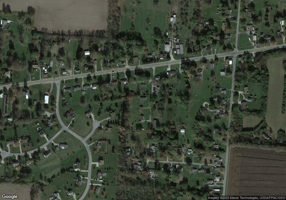
65 Andrews Ln New Carlisle, OH 45344
Estimated Value: $62,536 - $274,000
4
Beds
2
Baths
1,624
Sq Ft
$109/Sq Ft
Est. Value
About This Home
This home is located at 65 Andrews Ln, New Carlisle, OH 45344 and is currently estimated at $177,384, approximately $109 per square foot. 65 Andrews Ln is a home located in Clark County with nearby schools including Donnelsville Elementary School, Park Layne Elementary School, and New Carlisle Elementary School.
Ownership History
Date
Name
Owned For
Owner Type
Purchase Details
Closed on
Feb 1, 2016
Sold by
Cox Gary A and Cox Krista S
Bought by
Lokal Steven J and Lokal Loretta S
Current Estimated Value
Home Financials for this Owner
Home Financials are based on the most recent Mortgage that was taken out on this home.
Original Mortgage
$16,500
Interest Rate
4%
Mortgage Type
Future Advance Clause Open End Mortgage
Purchase Details
Closed on
Jan 13, 2015
Sold by
Stertz William
Bought by
Cox Gary A
Purchase Details
Closed on
Mar 7, 2001
Sold by
Stertz Harold W
Bought by
Stertz Harold W and Harold Stertz Trust
Purchase Details
Closed on
Mar 16, 1993
Create a Home Valuation Report for This Property
The Home Valuation Report is an in-depth analysis detailing your home's value as well as a comparison with similar homes in the area
Home Values in the Area
Average Home Value in this Area
Purchase History
| Date | Buyer | Sale Price | Title Company |
|---|---|---|---|
| Lokal Steven J | $27,000 | None Available | |
| Cox Gary A | $15,000 | Attorney | |
| Stertz Harold W | -- | -- | |
| -- | $66,000 | -- |
Source: Public Records
Mortgage History
| Date | Status | Borrower | Loan Amount |
|---|---|---|---|
| Closed | Lokal Steven J | $16,500 |
Source: Public Records
Tax History Compared to Growth
Tax History
| Year | Tax Paid | Tax Assessment Tax Assessment Total Assessment is a certain percentage of the fair market value that is determined by local assessors to be the total taxable value of land and additions on the property. | Land | Improvement |
|---|---|---|---|---|
| 2024 | $736 | $15,320 | $9,240 | $6,080 |
| 2023 | $736 | $15,320 | $9,240 | $6,080 |
| 2022 | $725 | $15,320 | $9,240 | $6,080 |
| 2021 | $616 | $11,700 | $7,060 | $4,640 |
| 2020 | $618 | $11,700 | $7,060 | $4,640 |
| 2019 | $635 | $11,700 | $7,060 | $4,640 |
| 2018 | $676 | $11,770 | $7,060 | $4,710 |
| 2017 | $672 | $11,771 | $7,056 | $4,715 |
| 2016 | $644 | $11,771 | $7,056 | $4,715 |
| 2015 | $1,190 | $11,288 | $7,056 | $4,232 |
| 2014 | $4,554 | $30,898 | $7,056 | $23,842 |
| 2013 | $6,326 | $30,898 | $7,056 | $23,842 |
Source: Public Records
Map
Nearby Homes
- 169 E Main St
- 22 W Main St
- 96 Eastwood Dr
- 7588 Milton Carlisle Rd
- 0 S Tecumseh Rd Unit 1042892
- 0 S Tecumseh Rd Unit 1042894
- 195 N Tecumseh Rd
- 5520 Old Lower Valley Park
- 4638 W National Rd
- 1559 Folk Ream Rd
- 1650 Cranbrook Dr
- 62 Fay Dr
- 4129 Grange Hall Rd
- 4311 Lone Wolf Ave
- 419 Candace Dr
- 323 Saint Paul Ave
- 3611-3625 Charlotte Dr
- 3628-3642 Charlotte Dr
- 5540 Broadway Rd
- 3644-3650 Charlotte Dr
- 95 Andrews Ln
- 125 Andrews Ln
- 82 Andrews Ln
- 6691 W National Rd
- 25 Andrews Ln
- 50 Andrews Ln
- 6717 W National Rd
- 128 Andrews Ln
- 6741 W National Rd
- 6750 Musser Ln
- 148 Andrews Ln
- 6637 W National Rd
- 6757 W National Rd
- 162 Andrews Ln
- 6761 Musser Ln
- 6619 W National Rd
- 6771 W National Rd
- 6742 W National Rd
- 6700 W National Rd
- 6670 W National Rd
