65 Ashley Dr Warminster, PA 18974
Estimated Value: $440,000 - $516,000
2
Beds
3
Baths
1,700
Sq Ft
$274/Sq Ft
Est. Value
About This Home
This home is located at 65 Ashley Dr, Warminster, PA 18974 and is currently estimated at $466,159, approximately $274 per square foot. 65 Ashley Dr is a home located in Bucks County with nearby schools including Maureen M. Welch Elementary School, Richboro Middle School, and Council Rock High School - South.
Ownership History
Date
Name
Owned For
Owner Type
Purchase Details
Closed on
Nov 27, 2002
Sold by
Deluca Enterprises Inc
Bought by
Mallardi Elizabeth
Current Estimated Value
Home Financials for this Owner
Home Financials are based on the most recent Mortgage that was taken out on this home.
Original Mortgage
$125,000
Outstanding Balance
$53,384
Interest Rate
6.16%
Estimated Equity
$412,775
Create a Home Valuation Report for This Property
The Home Valuation Report is an in-depth analysis detailing your home's value as well as a comparison with similar homes in the area
Home Values in the Area
Average Home Value in this Area
Purchase History
| Date | Buyer | Sale Price | Title Company |
|---|---|---|---|
| Mallardi Elizabeth | $198,900 | -- |
Source: Public Records
Mortgage History
| Date | Status | Borrower | Loan Amount |
|---|---|---|---|
| Open | Mallardi Elizabeth | $125,000 |
Source: Public Records
Tax History
| Year | Tax Paid | Tax Assessment Tax Assessment Total Assessment is a certain percentage of the fair market value that is determined by local assessors to be the total taxable value of land and additions on the property. | Land | Improvement |
|---|---|---|---|---|
| 2025 | $4,965 | $25,780 | $4,000 | $21,780 |
| 2024 | $4,965 | $25,780 | $4,000 | $21,780 |
| 2023 | $4,680 | $25,780 | $4,000 | $21,780 |
| 2022 | $4,637 | $25,780 | $4,000 | $21,780 |
| 2021 | $4,490 | $25,780 | $4,000 | $21,780 |
| 2020 | $4,389 | $25,780 | $4,000 | $21,780 |
| 2019 | $4,201 | $25,780 | $4,000 | $21,780 |
| 2018 | $4,127 | $25,780 | $4,000 | $21,780 |
| 2017 | $3,967 | $25,780 | $4,000 | $21,780 |
| 2016 | $3,967 | $25,780 | $4,000 | $21,780 |
| 2015 | -- | $25,780 | $4,000 | $21,780 |
| 2014 | -- | $32,280 | $4,000 | $28,280 |
Source: Public Records
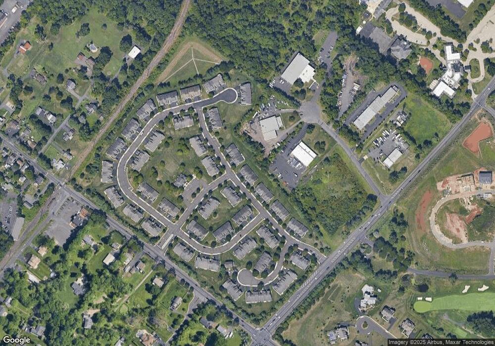
Map
Nearby Homes
- 111 Grandview Dr
- 9 Spring Dr
- 11 Spring Dr
- 55 Parry Way
- 21 Spring Mill Dr Unit 12
- 11 Lincoln Ave
- 70 Wheatsheaf Rd
- 841 Nathaniel Trail
- 854 Phillips Rd
- 403 Silver Oak Ct
- 920 Nathaniel Trail
- 202 Strawberry Ct Unit 249
- 290 Hatboro Rd
- 931 Nathaniel Trail
- 941 Hamilton Way
- 786 Boxwood Dr
- 3 Shady Pines Dr
- 1107 Maxwell Manor
- 1136 Maxwell Manor
- 641 Whittier Dr
Your Personal Tour Guide
Ask me questions while you tour the home.