65 Beach Dr Manzanita, OR 97130
Estimated Value: $1,012,000 - $1,241,000
2
Beds
2
Baths
1,200
Sq Ft
$972/Sq Ft
Est. Value
About This Home
This home is located at 65 Beach Dr, Manzanita, OR 97130 and is currently estimated at $1,165,901, approximately $971 per square foot. 65 Beach Dr is a home located in Tillamook County with nearby schools including Nehalem Elementary School, Garibaldi Elementary School, and Neah-Kah-Nie Middle School.
Ownership History
Date
Name
Owned For
Owner Type
Purchase Details
Closed on
Aug 24, 2012
Sold by
Jerome Barbara J
Bought by
Brier Stephen S and Scott Brier Barbara
Current Estimated Value
Home Financials for this Owner
Home Financials are based on the most recent Mortgage that was taken out on this home.
Original Mortgage
$295,000
Interest Rate
3.49%
Mortgage Type
New Conventional
Purchase Details
Closed on
Oct 30, 2006
Sold by
Jerome Barbara J
Bought by
Jerome Barbara J and Barbara J Jerome Living Trust
Create a Home Valuation Report for This Property
The Home Valuation Report is an in-depth analysis detailing your home's value as well as a comparison with similar homes in the area
Home Values in the Area
Average Home Value in this Area
Purchase History
| Date | Buyer | Sale Price | Title Company |
|---|---|---|---|
| Brier Stephen S | $395,000 | Ticor Title Company | |
| Jerome Barbara J | -- | None Available |
Source: Public Records
Mortgage History
| Date | Status | Borrower | Loan Amount |
|---|---|---|---|
| Closed | Brier Stephen S | $295,000 |
Source: Public Records
Tax History Compared to Growth
Tax History
| Year | Tax Paid | Tax Assessment Tax Assessment Total Assessment is a certain percentage of the fair market value that is determined by local assessors to be the total taxable value of land and additions on the property. | Land | Improvement |
|---|---|---|---|---|
| 2024 | $6,434 | $545,530 | $178,680 | $366,850 |
| 2023 | $6,377 | $529,650 | $173,480 | $356,170 |
| 2022 | $5,996 | $514,230 | $168,430 | $345,800 |
| 2021 | $5,817 | $499,260 | $163,520 | $335,740 |
| 2020 | $5,586 | $484,720 | $158,760 | $325,960 |
| 2019 | $3,476 | $300,940 | $154,140 | $146,800 |
| 2018 | $3,386 | $292,180 | $149,660 | $142,520 |
| 2017 | $3,290 | $283,670 | $145,300 | $138,370 |
| 2016 | $3,195 | $275,410 | $141,070 | $134,340 |
| 2015 | $3,137 | $267,390 | $136,960 | $130,430 |
| 2014 | $3,085 | $259,610 | $132,980 | $126,630 |
| 2013 | -- | $252,050 | $129,110 | $122,940 |
Source: Public Records
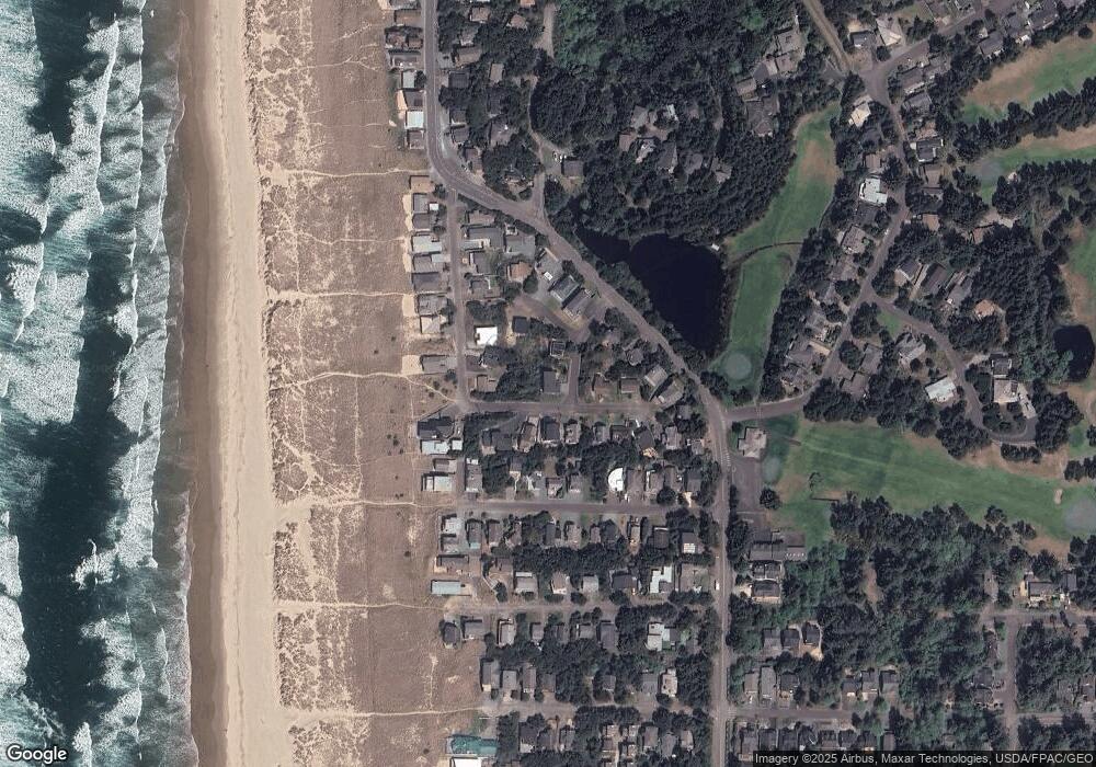
Map
Nearby Homes
- 1036 Beach Cir
- 000 Puffin Ln
- 34807 Necarney (34809) Blvd
- 34807 Necarney (-34809) Bl
- 8916 Pelican Ln Unit 4
- 34715 Necarney Blvd
- 8936 Pelican Ln Unit 5
- 9195 Puffin Ln
- 9195 Puffin Ln
- 9120 Windward Ln
- 388 Ridge Ct
- 8917 Spindrift Ln
- 559 Ridge Dr
- 370 4th Place S
- 368 4th Place
- 209 3rd St
- 0 Pine Ridge Dr Unit 24394081
- 0 Beach Dr Unit 9044680
- 0 Beach Dr Unit Lot 7
- 1041 Beach Cir
- 81 Beach Dr
- 0 Tobin Ln Unit TL 9800 24-106
- TL 9800 Tobin Ln
- 0 Tobin Ln Unit TL 9800
- 60 Beach Dr
- 1033 Beach Cir
- 70 Beach Dr
- 1060 Beach St
- 40 Beach Dr
- 1058 Beach St
- 80 Beach Dr
- 86 Tobin
- 1040 Beach St
- 89 Beach Dr
- 75 Tobin
- 10 Beach Dr
- 1057 Carmel Ave S