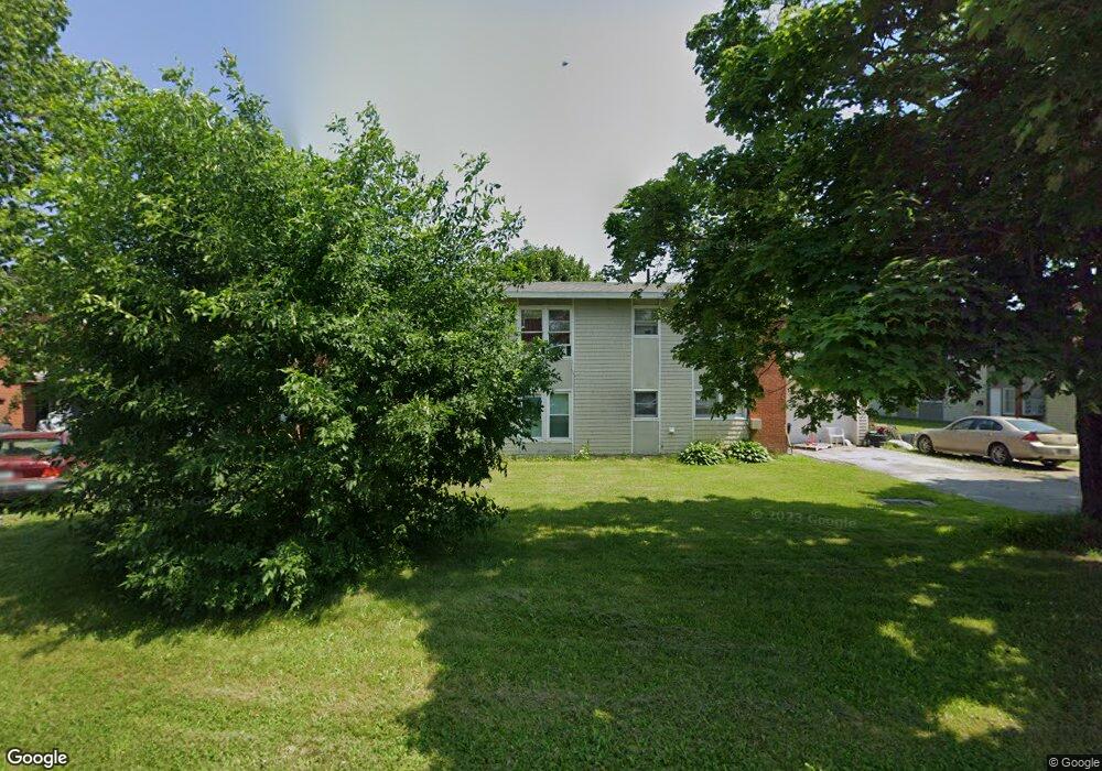
65 Bolling Dr Bangor, ME 04401
Capehart NeighborhoodEstimated Value: $277,000 - $397,000
8
Beds
4
Baths
2,862
Sq Ft
$120/Sq Ft
Est. Value
About This Home
This home is located at 65 Bolling Dr, Bangor, ME 04401 and is currently estimated at $343,534, approximately $120 per square foot. 65 Bolling Dr is a home located in Penobscot County with nearby schools including Downeast School, Fairmount School, and James F. Doughty School.
Create a Home Valuation Report for This Property
The Home Valuation Report is an in-depth analysis detailing your home's value as well as a comparison with similar homes in the area
Home Values in the Area
Average Home Value in this Area
Tax History Compared to Growth
Tax History
| Year | Tax Paid | Tax Assessment Tax Assessment Total Assessment is a certain percentage of the fair market value that is determined by local assessors to be the total taxable value of land and additions on the property. | Land | Improvement |
|---|---|---|---|---|
| 2024 | $4,725 | $254,700 | $24,700 | $230,000 |
| 2023 | $4,418 | $230,700 | $24,700 | $206,000 |
| 2022 | $3,719 | $182,300 | $23,200 | $159,100 |
| 2021 | $3,561 | $159,700 | $21,500 | $138,200 |
| 2020 | $3,390 | $146,100 | $20,400 | $125,700 |
| 2019 | $3,225 | $140,200 | $20,400 | $119,800 |
| 2018 | $3,064 | $133,500 | $20,400 | $113,100 |
| 2017 | $2,974 | $131,900 | $20,400 | $111,500 |
| 2016 | $2,842 | $126,300 | $20,400 | $105,900 |
| 2015 | $2,803 | $127,700 | $20,400 | $107,300 |
| 2014 | $2,716 | $124,600 | $20,400 | $104,200 |
| 2013 | $2,621 | $126,000 | $20,400 | $105,600 |
Source: Public Records
Map
Nearby Homes