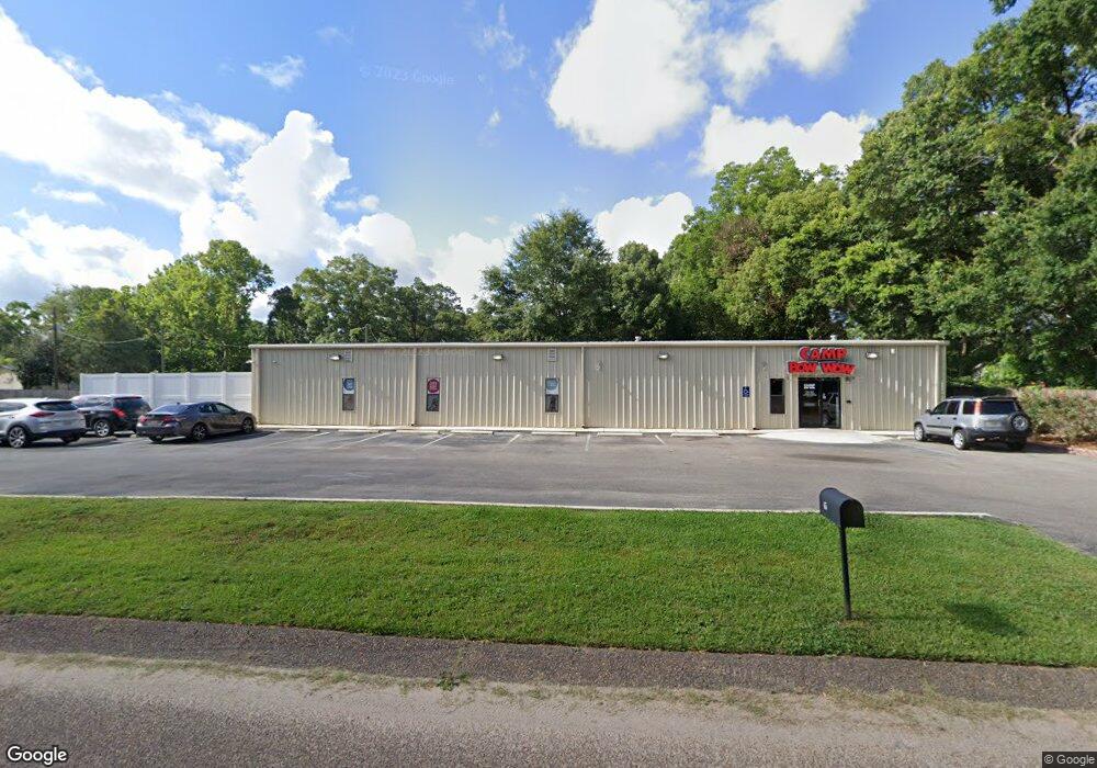
65 Border Cir E Mobile, AL 36608
Estimated Value: $696,914
Studio
3
Baths
6,000
Sq Ft
$116/Sq Ft
Est. Value
About This Home
This home is located at 65 Border Cir E, Mobile, AL 36608 and is currently estimated at $696,914, approximately $116 per square foot. 65 Border Cir E is a home located in Mobile County with nearby schools including Taylor White Elementary School, Bernice J Causey Middle School, and Baker High School.
Ownership History
Date
Name
Owned For
Owner Type
Purchase Details
Closed on
Feb 16, 2017
Sold by
Dog Gone Purrfect Llc
Bought by
Cbw Brooks Llc
Current Estimated Value
Home Financials for this Owner
Home Financials are based on the most recent Mortgage that was taken out on this home.
Original Mortgage
$411,241
Outstanding Balance
$338,024
Interest Rate
4.2%
Mortgage Type
Construction
Estimated Equity
$358,890
Purchase Details
Closed on
Jan 5, 2016
Sold by
Mcgill Andy W and Mcgill Jennifer S
Bought by
Dog Gone Purrfect Llc
Create a Home Valuation Report for This Property
The Home Valuation Report is an in-depth analysis detailing your home's value as well as a comparison with similar homes in the area
Purchase History
| Date | Buyer | Sale Price | Title Company |
|---|---|---|---|
| Cbw Brooks Llc | $411,241 | Surety Land Title | |
| Dog Gone Purrfect Llc | $275,000 | Surety Land Title |
Source: Public Records
Mortgage History
| Date | Status | Borrower | Loan Amount |
|---|---|---|---|
| Open | Cbw Brooks Llc | $411,241 |
Source: Public Records
Tax History
| Year | Tax Paid | Tax Assessment Tax Assessment Total Assessment is a certain percentage of the fair market value that is determined by local assessors to be the total taxable value of land and additions on the property. | Land | Improvement |
|---|---|---|---|---|
| 2025 | $3,934 | $81,120 | $7,340 | $73,780 |
| 2024 | $3,934 | $108,180 | $5,880 | $102,300 |
| 2023 | $5,247 | $79,860 | $5,880 | $73,980 |
| 2022 | $3,983 | $82,120 | $6,320 | $75,800 |
| 2021 | $4,073 | $83,980 | $9,020 | $74,960 |
| 2020 | $4,196 | $86,520 | $9,020 | $77,500 |
| 2019 | $3,770 | $77,740 | $9,020 | $68,720 |
| 2018 | $3,844 | $79,260 | $0 | $0 |
| 2017 | $4,099 | $84,520 | $0 | $0 |
| 2016 | $4,136 | $85,280 | $0 | $0 |
| 2013 | $3,791 | $77,500 | $0 | $0 |
Source: Public Records
Map
Nearby Homes
- 230 Portside Cir W
- 0 1st St Unit 7617566
- 0 1st St Unit 7651445
- 12 Stonebridge Ct
- 7056 Stonebridge Ct
- 15 Stonebridge Ct
- 390 Lakeview Dr W
- 404 Lakeview Dr W
- 0 5th St Unit 9/47-48-49 385342
- 422 Cody Rd S
- 77 Oklahoma Dr
- 29 Cobblestone Way W
- 0 Monk Ave Unit 633514
- 6928 Cobblestone Way N
- 250 Spring Lake Dr N
- 7767 Old Shell Rd
- 7650 Avenue C
- 464 Claude Harris Dr
- 664 Spring Lake Dr W
- 7354 Willow Pointe Dr N
- 75 Border Cir E
- 60 Center St
- 70 Center St
- 85 Border Cir E
- 72 Border Cir E
- 82 Border Cir E
- 80 Center St
- 7340 Border Cir N
- 92 Border Cir E
- 7300 Cedar St
- 81 Center St
- 63 Holly St S
- 73 Holly St S
- 53 Holly St S
- 83 Holly St S
- 91 Center St
- 7370 Border Cir N
- 7350 Dickens Ferry
- 7350 Dickens Ferry Rd N
- 7350 Dickens Ferry Rd
Your Personal Tour Guide
Ask me questions while you tour the home.