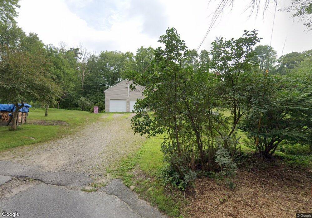
65 Buffum Rd Uxbridge, MA 01569
Estimated Value: $606,016 - $633,000
3
Beds
2
Baths
1,956
Sq Ft
$316/Sq Ft
Est. Value
About This Home
This home is located at 65 Buffum Rd, Uxbridge, MA 01569 and is currently estimated at $618,754, approximately $316 per square foot. 65 Buffum Rd is a home located in Worcester County with nearby schools including Uxbridge High School.
Create a Home Valuation Report for This Property
The Home Valuation Report is an in-depth analysis detailing your home's value as well as a comparison with similar homes in the area
Home Values in the Area
Average Home Value in this Area
Tax History
| Year | Tax Paid | Tax Assessment Tax Assessment Total Assessment is a certain percentage of the fair market value that is determined by local assessors to be the total taxable value of land and additions on the property. | Land | Improvement |
|---|---|---|---|---|
| 2025 | $6,777 | $516,900 | $174,900 | $342,000 |
| 2024 | $6,355 | $491,900 | $166,200 | $325,700 |
| 2023 | $6,018 | $431,400 | $143,400 | $288,000 |
| 2022 | $5,782 | $381,400 | $126,000 | $255,400 |
| 2021 | $5,834 | $368,800 | $123,400 | $245,400 |
| 2020 | $5,882 | $351,400 | $121,600 | $229,800 |
| 2019 | $5,870 | $338,300 | $121,600 | $216,700 |
| 2018 | $5,395 | $314,200 | $121,600 | $192,600 |
| 2017 | $4,935 | $291,000 | $111,800 | $179,200 |
| 2016 | $4,754 | $270,600 | $106,600 | $164,000 |
| 2015 | $4,655 | $267,500 | $106,600 | $160,900 |
Source: Public Records
Map
Nearby Homes
- 1 White Ct
- 296 Yew St
- 153 Davis St
- 405 West St
- 99 Maple St
- 13 Perry St
- 139 Turner Farm Rd
- 145 Turner Farm Rd
- 279 S East Main St Unit Lot 2
- 127 Turner Farm Rd
- 136 Turner Farm Rd
- 126 Turner Farm Rd
- 295 S East Main St Unit Lot 6
- 145 Mantell Rd
- 169 Mantell Rd
- 137 Mantell Rd
- 299 S East Main St Unit Lot 7
- 303 S East Main St Unit Lot 8
- 307 S East Main St Unit Lot 9
- 114 Turner Farm Rd
Your Personal Tour Guide
Ask me questions while you tour the home.