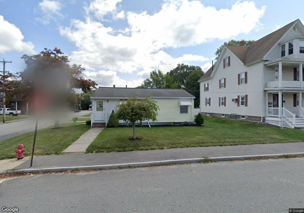
65 Cedar St Taunton, MA 02780
City Center NeighborhoodEstimated Value: $347,000 - $402,000
2
Beds
1
Bath
976
Sq Ft
$382/Sq Ft
Est. Value
About This Home
This home is located at 65 Cedar St, Taunton, MA 02780 and is currently estimated at $372,788, approximately $381 per square foot. 65 Cedar St is a home located in Bristol County with nearby schools including Elizabeth Pole School, Taunton High School, and John F. Parker Middle School.
Ownership History
Date
Name
Owned For
Owner Type
Purchase Details
Closed on
Apr 7, 2020
Sold by
65 Cedar Street Ret
Bought by
Strojny Lydia
Current Estimated Value
Purchase Details
Closed on
Nov 1, 2013
Sold by
Strojny Edward J
Bought by
65 Cedar Street Ret and Strojny Edward J
Purchase Details
Closed on
Mar 24, 2011
Sold by
King Paul F
Bought by
Strojny Edward J
Purchase Details
Closed on
Apr 5, 2010
Sold by
Fnma
Bought by
King Paul F
Purchase Details
Closed on
Oct 2, 2001
Sold by
Orsi Richard L and Polgroszek Edward J
Bought by
Agrella Philip J and Agrella Tracey A
Home Financials for this Owner
Home Financials are based on the most recent Mortgage that was taken out on this home.
Original Mortgage
$161,710
Interest Rate
6.91%
Mortgage Type
Purchase Money Mortgage
Create a Home Valuation Report for This Property
The Home Valuation Report is an in-depth analysis detailing your home's value as well as a comparison with similar homes in the area
Home Values in the Area
Average Home Value in this Area
Purchase History
| Date | Buyer | Sale Price | Title Company |
|---|---|---|---|
| Strojny Lydia | -- | None Available | |
| 65 Cedar Street Ret | -- | -- | |
| Strojny Edward J | $159,000 | -- | |
| King Paul F | $111,000 | -- | |
| Agrella Philip J | $161,710 | -- |
Source: Public Records
Mortgage History
| Date | Status | Borrower | Loan Amount |
|---|---|---|---|
| Previous Owner | Agrella Philip J | $161,710 |
Source: Public Records
Tax History Compared to Growth
Tax History
| Year | Tax Paid | Tax Assessment Tax Assessment Total Assessment is a certain percentage of the fair market value that is determined by local assessors to be the total taxable value of land and additions on the property. | Land | Improvement |
|---|---|---|---|---|
| 2025 | $3,297 | $301,400 | $87,200 | $214,200 |
| 2024 | $3,079 | $275,200 | $87,200 | $188,000 |
| 2023 | $3,100 | $257,300 | $87,200 | $170,100 |
| 2022 | $2,971 | $225,400 | $72,700 | $152,700 |
| 2021 | $2,824 | $198,900 | $66,100 | $132,800 |
| 2020 | $2,807 | $188,900 | $66,100 | $122,800 |
| 2019 | $2,840 | $180,200 | $66,100 | $114,100 |
| 2018 | $2,559 | $165,200 | $65,300 | $99,900 |
| 2017 | $2,521 | $160,500 | $63,000 | $97,500 |
| 2016 | $2,423 | $154,500 | $60,800 | $93,700 |
| 2015 | $2,333 | $155,400 | $62,600 | $92,800 |
| 2014 | $2,186 | $149,600 | $59,200 | $90,400 |
Source: Public Records
Map
Nearby Homes
- 30 Buffington St
- 5 Dean Ave
- 13 Benefit St
- 9 Bradford St
- 78 Arlington St Unit 2
- 78 Arlington St Unit 3
- 78 Arlington St Unit 1
- 31 Church Green Unit 303
- 12 Chestnut St Unit A
- 54 Adams St
- 14 Wilbur St
- 48 Taunton Green
- 0, M64 L51 Knapp St
- 0 M64 L39 Knapp St
- 0, M64 L49 Knapp St
- 0, M64 L50 Knapp St
- 37 Winter St
- 6 Makepeace Ave
- 22 John St Unit 22
- 9 Jefferson St