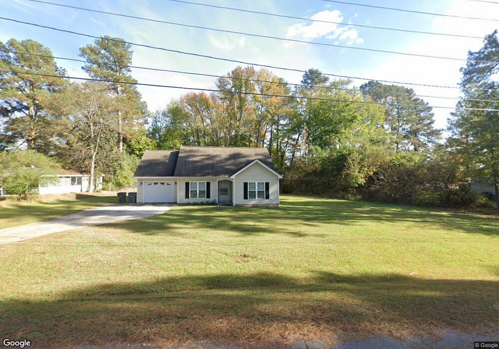
65 Cobb Rd Rocky Mount, NC 27804
Estimated Value: $203,000 - $221,000
3
Beds
2
Baths
1,205
Sq Ft
$178/Sq Ft
Est. Value
About This Home
This home is located at 65 Cobb Rd, Rocky Mount, NC 27804 and is currently estimated at $214,562, approximately $178 per square foot. 65 Cobb Rd is a home located in Nash County with nearby schools including Benvenue Elementary School, Rocky Mount Middle School, and Rocky Mount High School.
Ownership History
Date
Name
Owned For
Owner Type
Purchase Details
Closed on
Feb 10, 2023
Sold by
Mckenzie Christopher Kevin
Bought by
Brown Jason T
Current Estimated Value
Home Financials for this Owner
Home Financials are based on the most recent Mortgage that was taken out on this home.
Original Mortgage
$177,900
Outstanding Balance
$170,599
Interest Rate
5%
Mortgage Type
New Conventional
Estimated Equity
$43,963
Purchase Details
Closed on
Jun 10, 2021
Sold by
Hunter Margaret M
Bought by
Mckenzie Christopher Kevin
Home Financials for this Owner
Home Financials are based on the most recent Mortgage that was taken out on this home.
Original Mortgage
$162,011
Interest Rate
2.9%
Mortgage Type
FHA
Purchase Details
Closed on
Feb 25, 1986
Bought by
Hunter Dennis E and Hunter Margaret M
Create a Home Valuation Report for This Property
The Home Valuation Report is an in-depth analysis detailing your home's value as well as a comparison with similar homes in the area
Home Values in the Area
Average Home Value in this Area
Purchase History
| Date | Buyer | Sale Price | Title Company |
|---|---|---|---|
| Brown Jason T | $185,000 | -- | |
| Mckenzie Christopher Kevin | $165,000 | None Available | |
| Hunter Dennis E | $39,000 | -- |
Source: Public Records
Mortgage History
| Date | Status | Borrower | Loan Amount |
|---|---|---|---|
| Open | Brown Jason T | $177,900 | |
| Previous Owner | Mckenzie Christopher Kevin | $162,011 | |
| Closed | Brown Jason T | $8,000 |
Source: Public Records
Tax History Compared to Growth
Tax History
| Year | Tax Paid | Tax Assessment Tax Assessment Total Assessment is a certain percentage of the fair market value that is determined by local assessors to be the total taxable value of land and additions on the property. | Land | Improvement |
|---|---|---|---|---|
| 2025 | $1,176 | $186,590 | $23,620 | $162,970 |
| 2024 | $1,176 | $119,020 | $23,620 | $95,400 |
| 2023 | $797 | $119,020 | $0 | $0 |
| 2022 | $815 | $119,020 | $23,620 | $95,400 |
| 2021 | $797 | $119,020 | $23,620 | $95,400 |
| 2020 | $797 | $119,020 | $23,620 | $95,400 |
| 2019 | $797 | $119,020 | $23,620 | $95,400 |
| 2018 | $797 | $119,020 | $0 | $0 |
| 2017 | $797 | $119,020 | $0 | $0 |
| 2015 | $1,000 | $149,270 | $0 | $0 |
| 2014 | $884 | $131,870 | $0 | $0 |
Source: Public Records
Map
Nearby Homes
- 1760 Country Club Rd
- 1605 Bobwhite Ln
- 11 Canvasback Point
- 2038 Bridgewood Rd
- 1412 Clubview Dr
- 0 Fenner at Jeffreys
- 36 -A Country Club Dr
- 1739 Bobwhite Ln
- 1732 Bobwhite Ln
- 152 Ambergate Ct
- 148 Ambergate Ct
- 144 Ambergate Ct
- 1152 Freer Dr
- 136 Ambergate Ct
- 612 Short Spoon Cir
- 145 Ambergate Ct
- 1704 Old Barn Rd
- 620 Short Spoon Cir
- 1820 Burnt Mill Rd